Chief Aeneas (pronounced EEN YUSS) was an Indian guide who led the first government explorers into the Okanogan in the 1870ís. When he died at the age of 103 fifty years later, the mountain was named in his honor. Aenaes is about 10 miles long running north and south. It rises above the valley on every side making it one of the more prominent mountains in Washington.
Elevation: 5,172 feet
Distance: 5.5 miles one-way
Elevation Gain: 3,400 feet (logging route)
Access: Good gravel roads, Discover Pass
Prominence: 3,359 feet
WillhiteWeb.com
Access:
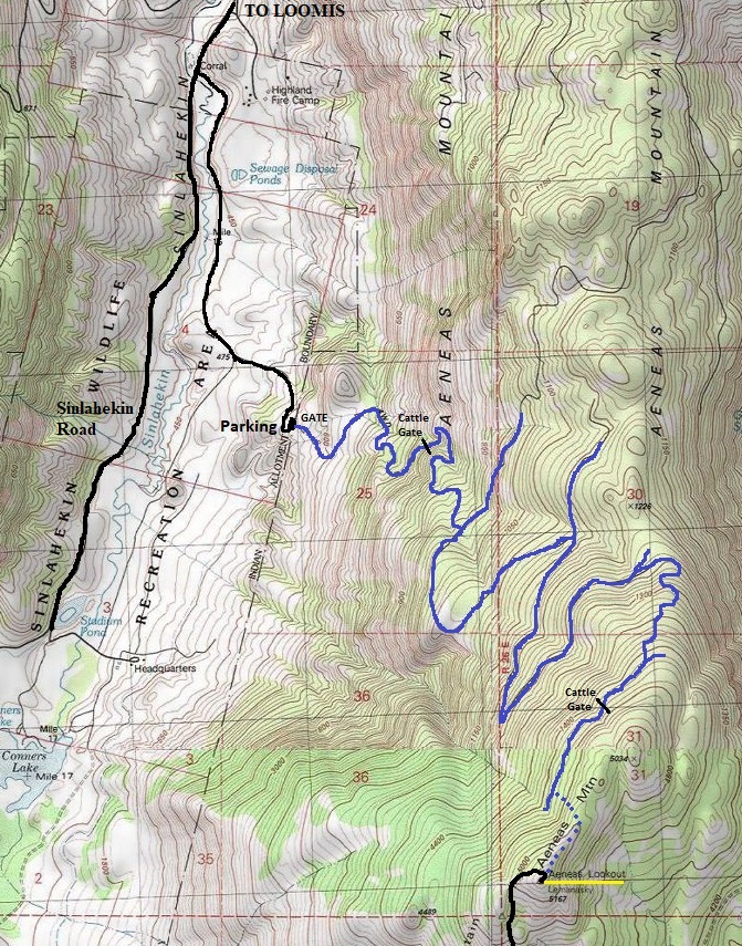
Although some have no issues driving the main access road to the DNR gate, others have not been so lucky. Access road gate still has 1,400 feet of gain to reach summit. The access road crosses several private properties and DNR has an easement. This doesnít mean you have an easement and many hikers have reported being threatened while driving up the road. The route shown on the map below and described here is all on public lands. From Loomis, drive south on Broadway Street, which becomes Sinlahekin Road. At about 2.9 miles, just past the H2O DNR Work Center, there is a left turn on an unsigned road (just before a tiny bridge). Follow this dirt road 1.5 miles to a gravel parking area and a gate.
Route:
Pass through the fence and follow the road. Beware that the cows here did not like us and one even charged. Follow the map provided and you should find your way. Near the summit ridge, there are plenty of options, go cross country or follow one of many cattle paths.
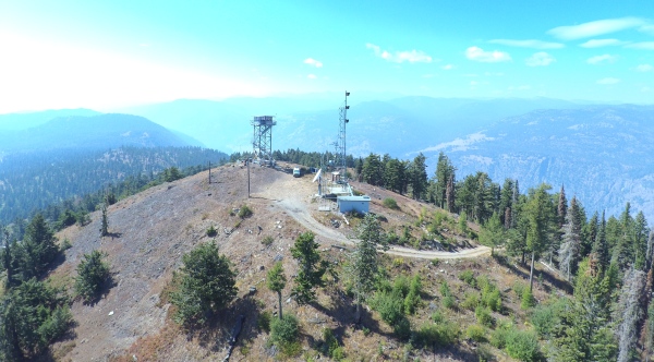
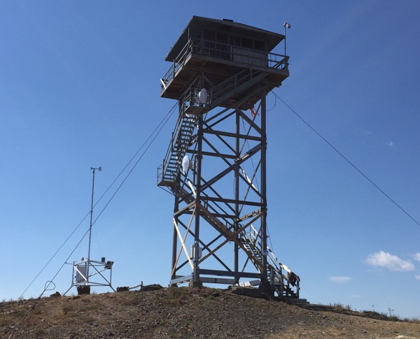
Aeneas Mountain and former Lemanasky Fire Lookout site
History:
In 1914, Aeneas Mountain was being used as a lookout camp although one cabin picture with George Armstrong is labeled September 4, 1914. From a newspaper article on October 17, 1914 we learn that Harley Heath, manager of the grocery department of C.E. Blackwell and Co., had initiated a method of selling goods by use of the heliograph. Mr. Heath was formerly in the forest service, and, by the use of an automobile headlight, called the Aeneas Mountain lookout of the United States forest service, a distance of 15 miles. Mr. Heath had no difficulty in getting in communication. After some conversation the forest ranger placed an order for groceries to be sent by the Hassan stage line.
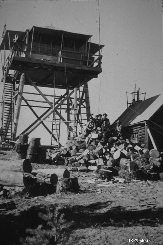
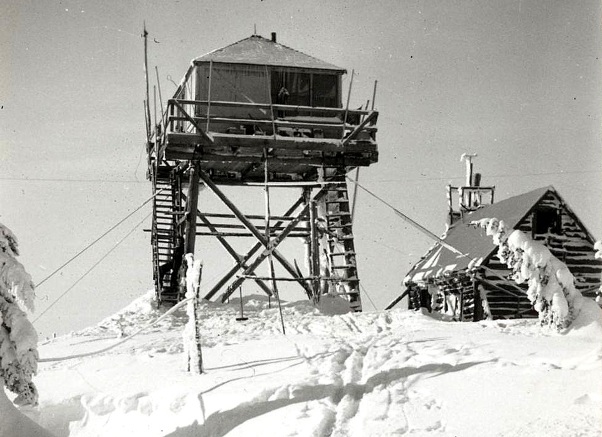
In 1920, a log cabin was added which survived until 1956.
In 1922, the lookout was Bill Knosher.
In 1923, the lookout was William Knosher. He picked up close to a dozen fires on state and Indian land and reported them to the proper authorities. It was realized that this point should be equipped with modern station and fire finder.
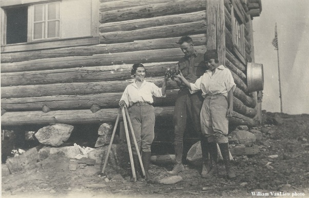
In 1929, John and Francis Niles spent a honeymoon operating the post. (see Kreseks book) That year they watched a fire come out of Canada and burn the Toats Coulee, Cecil, Chewack, Ashnola, and Pasayten watersheds until the rain in the fall put it out.
In 1933, the lookout was Adrian Douglass, who had been lookout for several seasons on Aeneas.
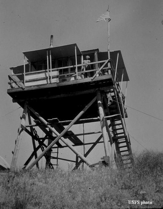
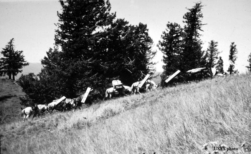
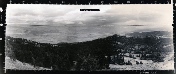
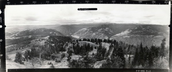
In 1934, a 20-foot pole tower with L-4 cab was constructed by the Civilian Conservation Corps. That same year the panorama photos were taken.
In 1935, the lookout was Bob Bigelow. While he was at forest service training camp on Boulder creek, Lon Gadberry was at the Aeneas lookout.
In 1942, the site was activated as use as a Aircraft Warning Service Station. The AWS improvements included sleeping quarters.
In 1954 the U.S. Forest Service sold its share of the tower site to the Department of Natural Resources.
In 1955, Ray Kresek staffed the lookout with many stories shared in his book Fire Lookouts of the Northwest.
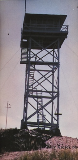
In 1958, the 20-foot tower was replaced by a 40-foot wooden tower with DNR live-in cab (possibly same cab).
In 1962, the lookout was Julie Rae.
In 1980, a new 42-foot DNR timber tower with a 14 by 14 live-in cab was constructed (still standing) and is listed on the National Historic Lookout Register.
In August of 2015, the lookout was evacuated due to the threat of wildfires.
In 2015, the lookout was evacuated due to the threat of wildfires.
In 2018, a camera was placed on the tower giving 180 degree view to the west.
In 2020, was the last official summer. The summit had been continuously staffed every summer since 1916. Aeneas was the last remaining staffed DNR lookout tower in Washington. It had electric lights, a refrigerator, a stove and telephone.
In 2024, the tower was demolished and removed from the site near the end of the year. A pole with a camera remained.
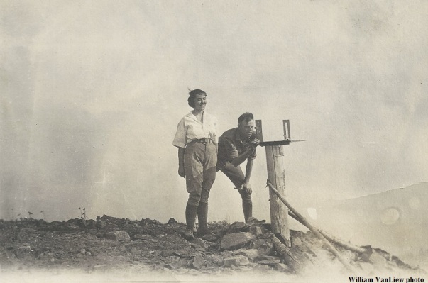
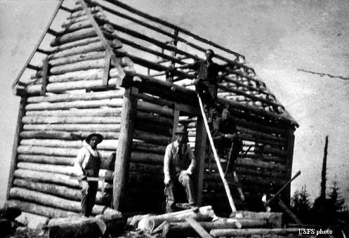
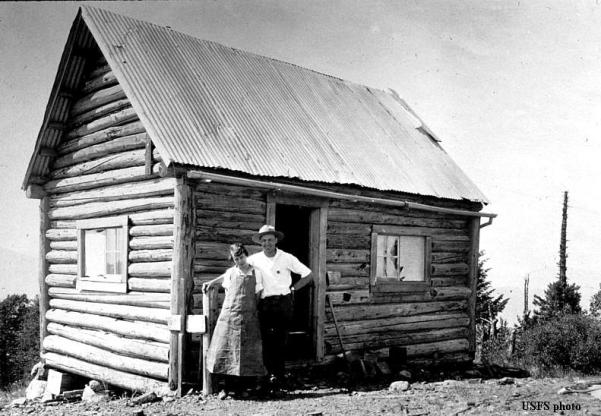
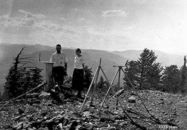

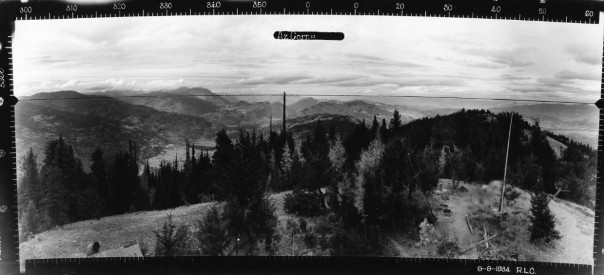
1934 Looking Souteast
1934 Looking Southwest
1934 Looking North
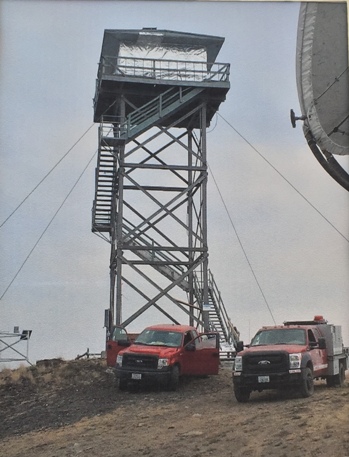




Parking area and first gate
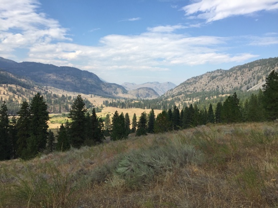
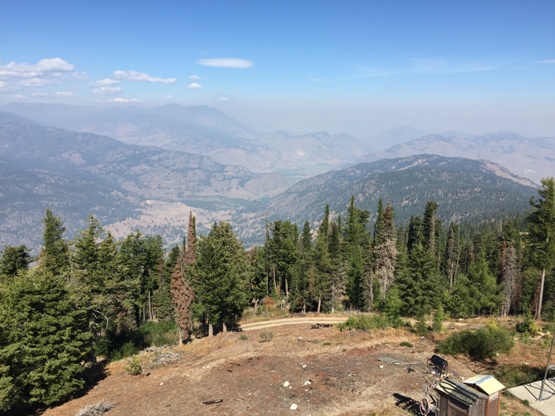
Looking up valley from starting area
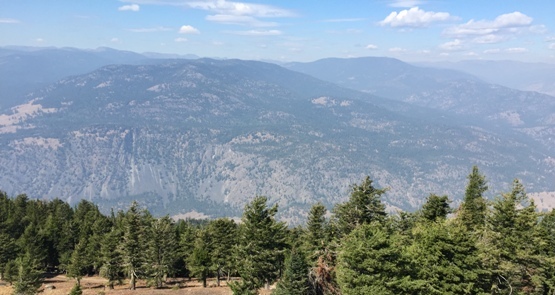
Looking north from the lookout
2018
Looking west from the lookout
2015 during threat of fire
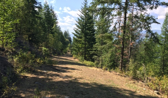
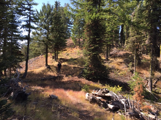
Much of the road walk looks like this
On ridge just below the lookout
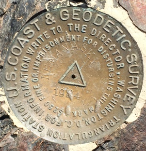
Lemanasky Benchmark
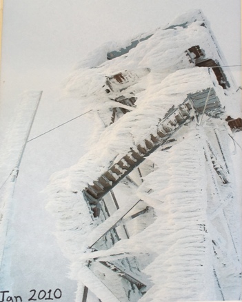
January 2010
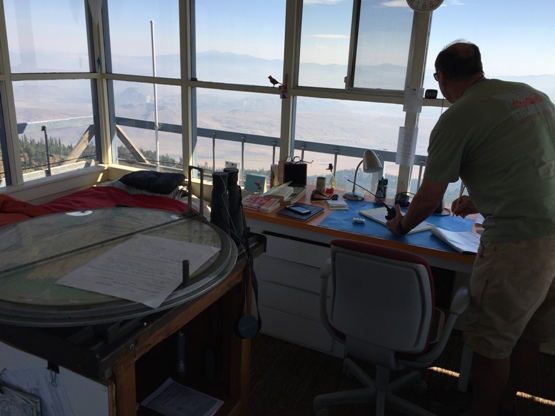
Inside the working lookout
Panoramics still inside the lookout
Packing up the 1934 lookout building
Building the lookout cabin in 1920
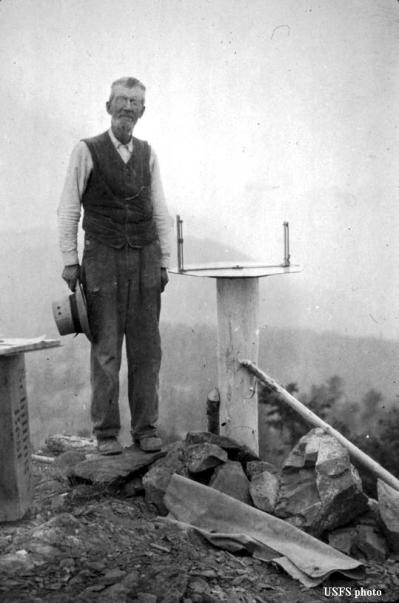
Just a firefinder in 1916
Log cabin
Using the firefinder around 1920
Year 1929
Year 1929. Another source says Sept 4, 1914 with George Armstrong
Year 1942
1940s
January 1943, Aircraft Warning Service, photo by Walt Anderson
1958 Tower
Access during AWS
Observers during AWS
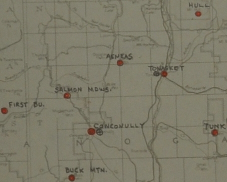
Locations used for AWS in area of Aeneas
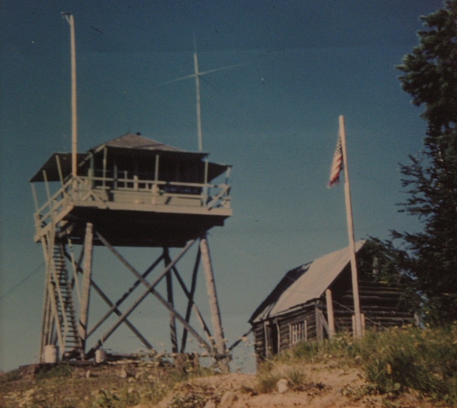
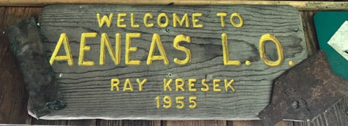

1955
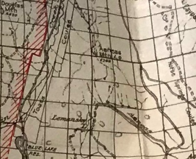
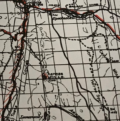
1931 Chelan National Forest
1938 Conconully


