www.willhiteweb.com - Hiking, Climbing and Travel
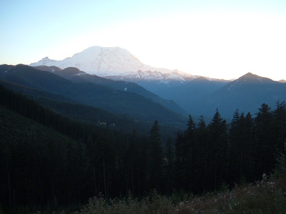
I'm afraid the view from the trailhead is much better than the summit. If you do this peak, you are a true dumpster diver of peakbagging. There are trees on top of Huckleberry Ridge so no views. Depending on how fast the trees grow back, the views hiking up could become scarce as well. On the bright side, it is the highest point between to major valleys and a noticeable landmark from other nearby peaks.
Huckleberry Ridge
Distance: 1/2 mile
Elevation Gain: 500 feet
Summit Elevation: 5,020 feet
Access Rating: 2 or 3
As the map below shows, there are two ways to get up to Haller Pass, the start of the hike. Since trees often fall and roads often wash out, both are shown. Take State Route 410 past Greenwater to FS Road #74 on the right. The entire road to Haller Pass from both directions is road #75. This is a decent dirt road (most of the year) that passenger cars often drive. The south route starts just before crossing the West Fork White River bridge.
Access:
A abandoned logging road goes from the pass to the west side of Huckleberry Ridge highpoint. Follow it down from the pass to the base of the peak. Pick a line through the brush that looks best. There was a lot of logging debris at the time I did it and new brush will make it worse. Try to have fun.
Route:
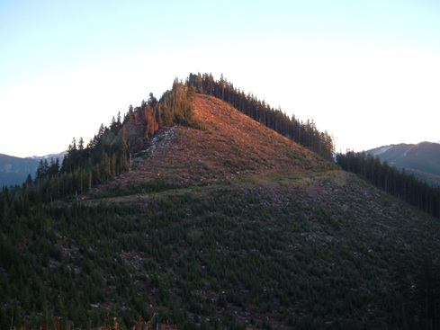

Last sunlight on Huckleberry Ridge viewed from Haller Pass
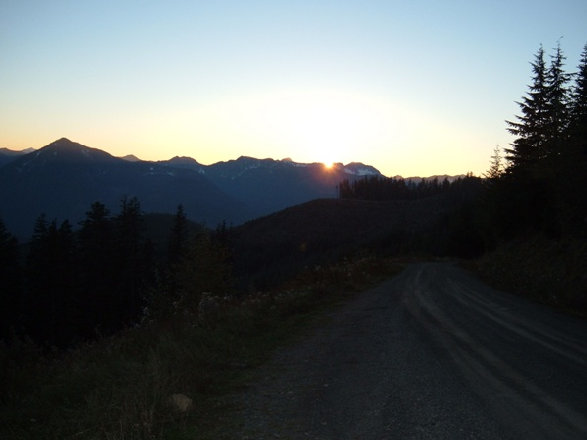
Sunset from Haller Pass
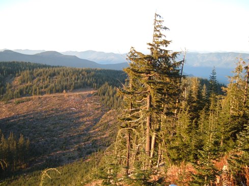
Nearing the summit looking down at Haller Pass
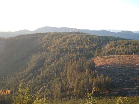
Looking NW
Mount Rainier from Haller Pass


