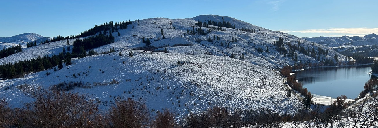
Patterson Mountain
WillhiteWeb.com
This is a low elevation hike near Winthrop that can be done in just a few hours. In spring, it is full of wildflowers, in summer it is too hot, and in winter it is a snowshoe, unless you let others crush the trail first, then just a hike on the snow trail. The trailhead is on the way up to Sun Mountain Lodge, a nice get away after the hike.
Elevation: 3,511 feet
Hiking Distance: 4-mile loop, including summit.
Elevation Gain: 1,100 feet
Prominence: 1,071 feet
Access: Paved
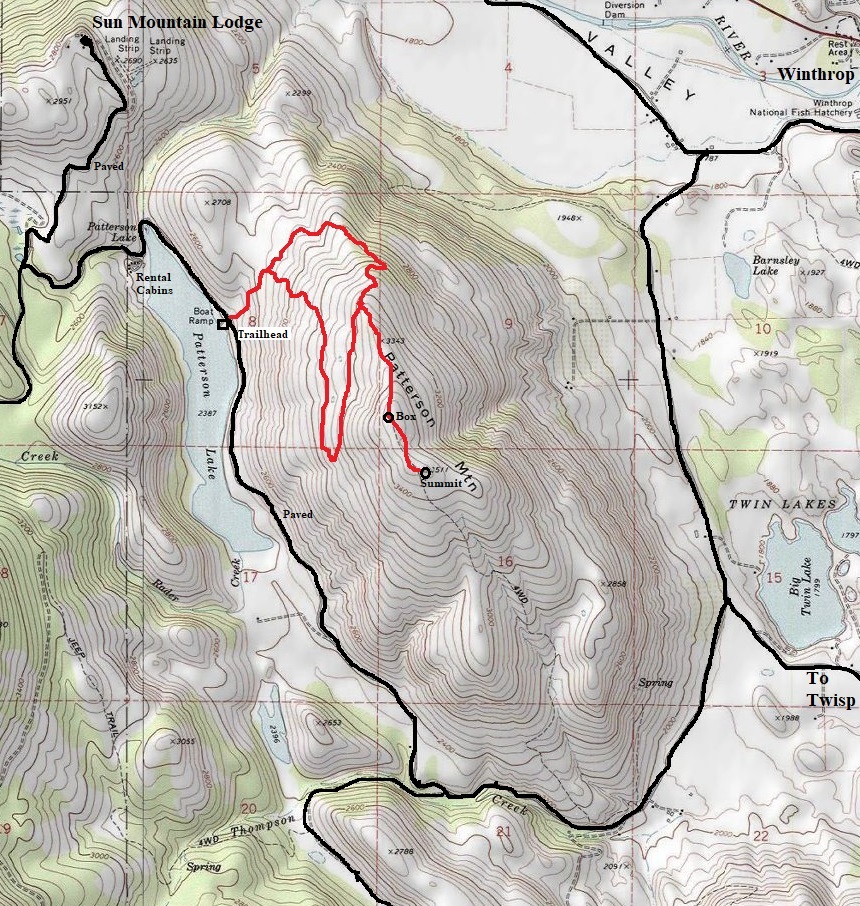
At the south end of Winthrop on Hwy 20, south of the bridge, turn right on Twin Lakes Road and follow it for 3.1 miles. Turn right on Patterson Lake Road and follow it for 4.0 miles. The public fishing boat launch and trailhead parking are both on the left. Discover Pass signs.
Access:
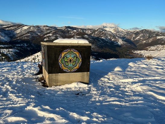
Just follow the trail up for 0.3 miles to a junction where a well signed loop starts. You can take the Northern Loop or Southern Loop, does not matter. At the loop highpoint, a trail goes up to the summit where you find a concrete cistern (actually at the false summit). Views from either summit are about the same.
Route:










Trailhead sign
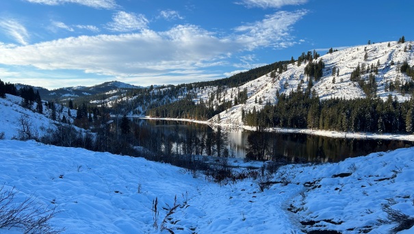
Patterson Lake from just above the trailhead
Ladder fence crossing
Looking East from the summit area
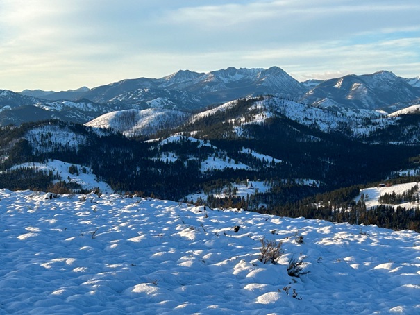
Looking South to Raven Ridge and Hoodoo
Methow Valley
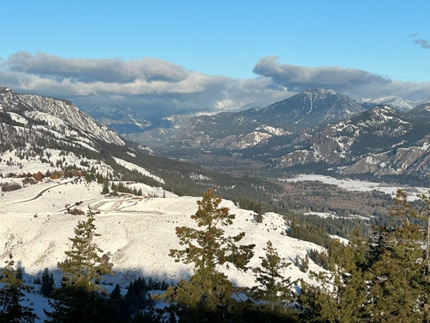
Looking Southeast from the summit area
Goat Peak
Looking South to Raven Ridge and Hoodoo
Oval Peak
Looking North
Looking Northwest
Looking Southwest
Concrete cistern
Sign at the loop highpoint


