
Wahatis Peak
Summit Elevation: 2,692 feet
Hiking Distance: Drive-up
Prominence: 1,792 feet
Access: Higher clearance best
WillhiteWeb.com
Wahatis Peak is the high point of the Saddle Mountains, a ridge between the Hanford Reach and the Potholes region. Its prominence is quite dramatic once on the ridge. You could visit in all 4 seasons for different experiences. Vehicles with high clearance can drive to the top but many do park once they disagree with the road and make it a hike. A second site on the ridge is a old Nike Missile site where large concrete pads still exist. From 1955 to 1961 Ajax and Hercules missiles were ready to launch from this site. The control area was from a point on the ridge but the launch area was below on the bank of the Columbia River. There were 4 Nike sites in the area and were used to protect the Hanford Nuclear Reservation from attack and spying.
Access
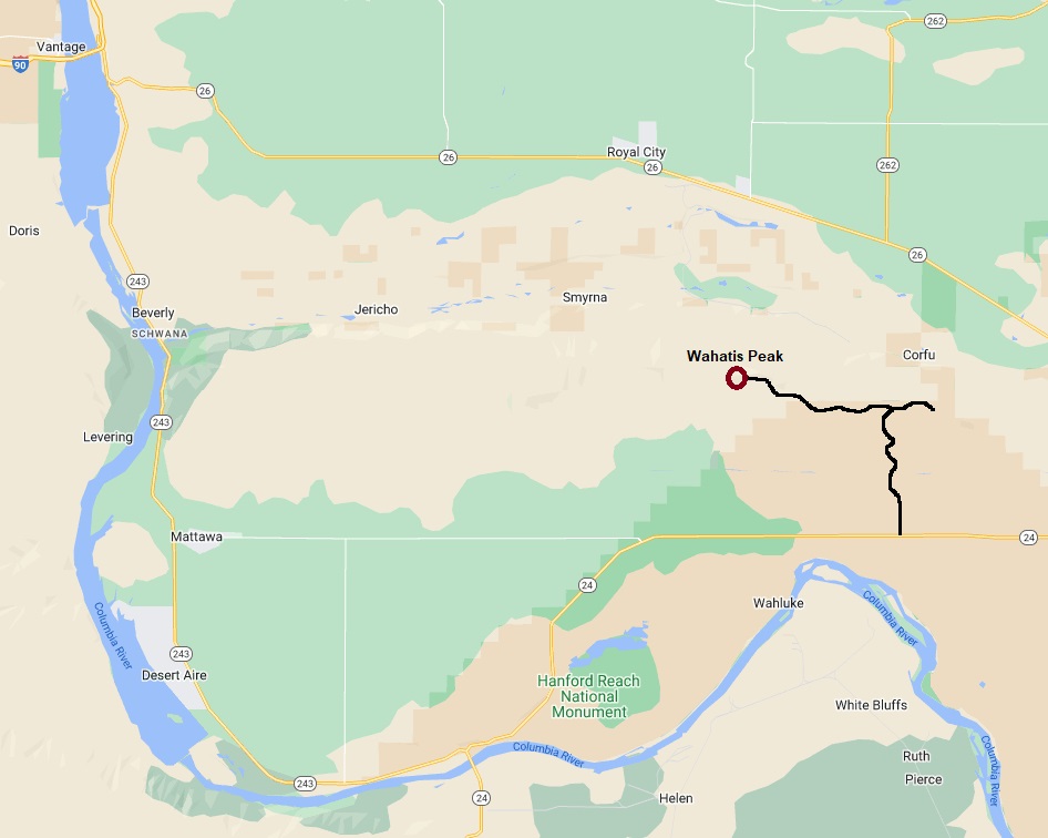
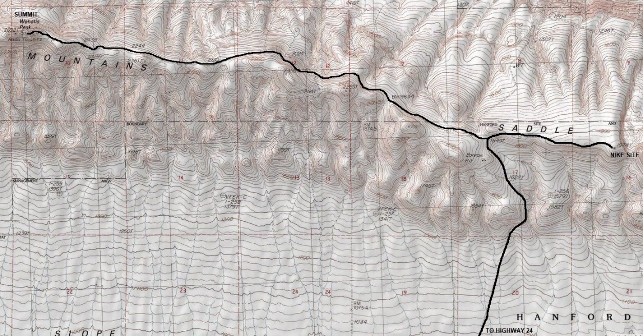
Take I 90 to Vantage and turn south on Highway 243. Then go east on Highway 24 for around 16 miles. A dirt road goes north with an old wooden kiosk. The dirt road heads up to what they call a Saddle Mountain Overlook but it is the Nike Site. Near the ridge top, a unsigned left turn is the road that heads to the summit. This road runs just below the ridge on the north side for several miles until reaching the summit area. Depending on road conditions and your vehicle, continue as far as you can and walk the rest if necessary.


Ajax and Hercules missiles ready to launch
Location of Wahatis Peak
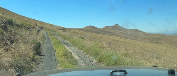
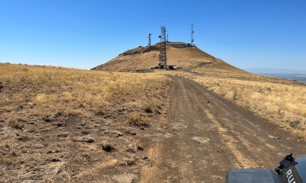
Hike or drive it, the road was not bad until near the end.
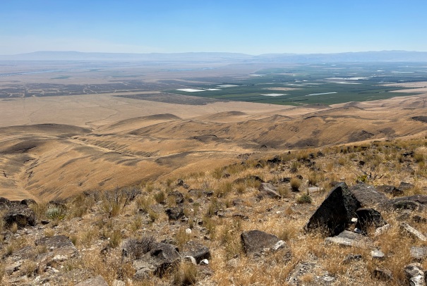
North and West view
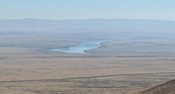
Columbia River
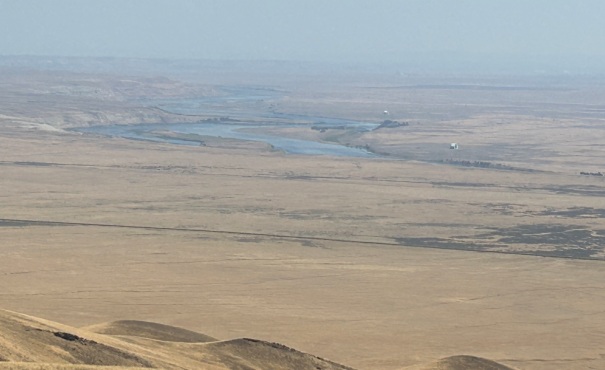
Hanford Reach and the White Bluffs
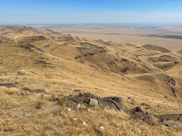
SW view
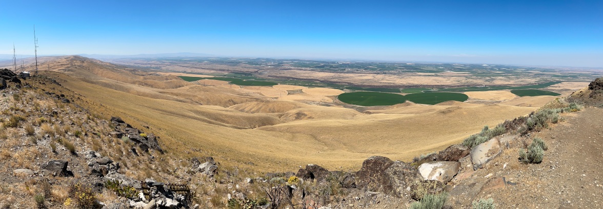
Wahatis Peak view from the NIKE site control area.
Looking West
Looking SE
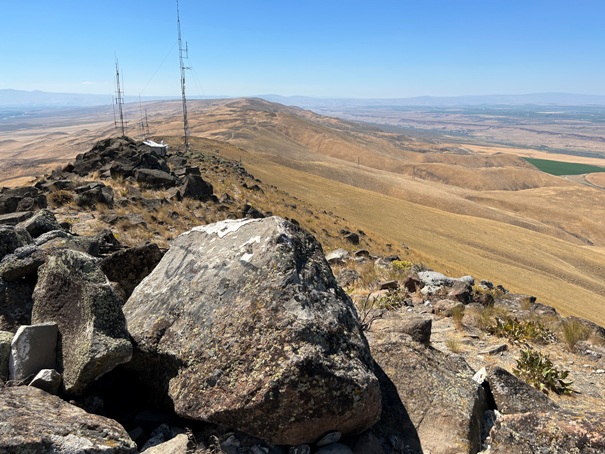
Looking West
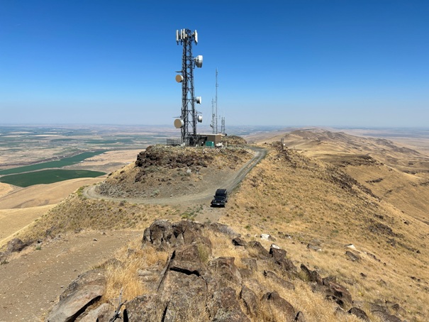
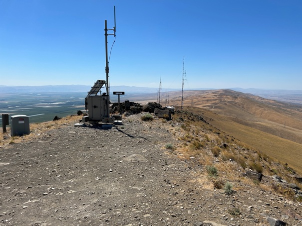
There are a few summit bumps all with communication towers
Approaching the summit area, road goes around this point on the right and up.
Saddle Mountains view after leaving Highway 24
Driving the ridge road with the summit in distance


