Eagle Peak - Dishman Hills Natural
Resource Conservation Area (North Unit)
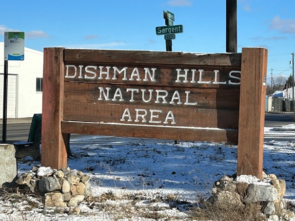
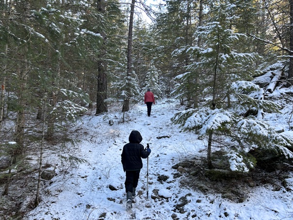
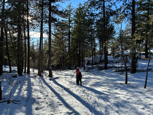
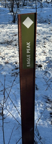
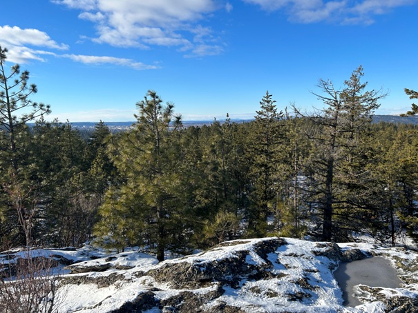
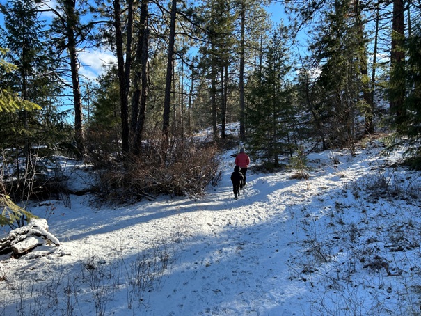
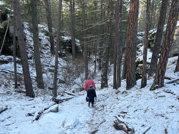
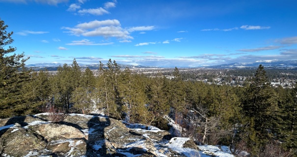
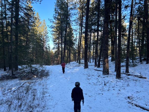
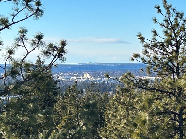
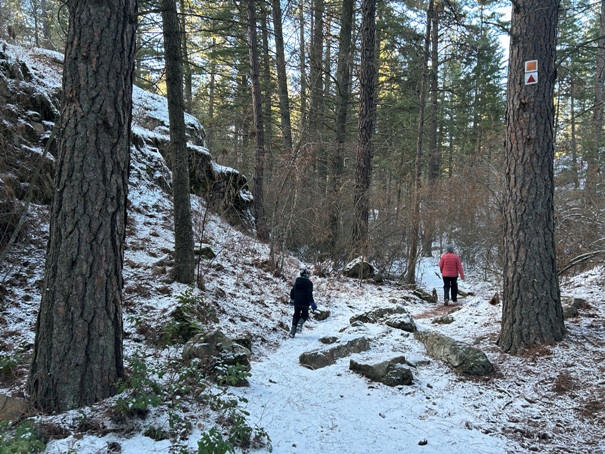
One of the most easy and accessible trail systems in the Spokane area is the Dishman Hills. They are basically a city park at the edge of town with a wilderness type feel. The location is perfect to find snow free trails in winter or some shade in the summer. Picking a destination in the park was easy, Eagle Peak. This minor bump is high and rocky enough to get above the trees for a decent view.
WillhiteWeb.com
Elevation: 2,425 feet
Hiking Distance: Maybe a 3 mile loop
Elevation Gain: 400 feet
Access: Paved Roads
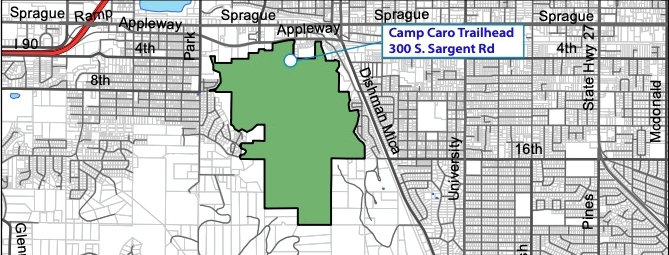
Asking your phone should get you to the main parking area at Camp Caro, at the end of Sargent Road, just off Sprague Avenue. (Take Argone Road exit off I-90, go south to a right on Sprague, then left on Sargent.
Access:
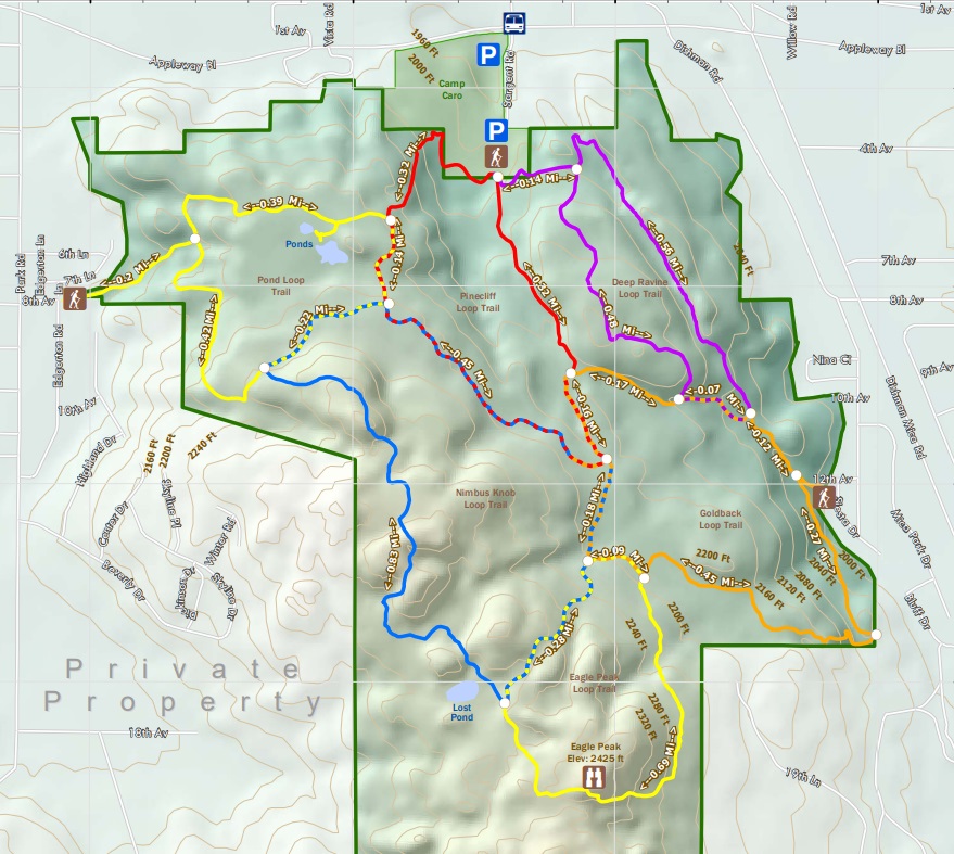
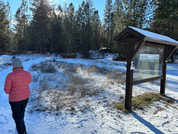
There are maps of the park along the trails inside the park. Many loops possible. Most apps show the trails. See map at bottom of page.
Route:
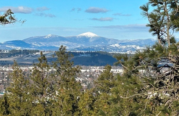
Mount Spokane
North Unit of the Dishman Hills Natural Resource Conservation Area
West Spokane
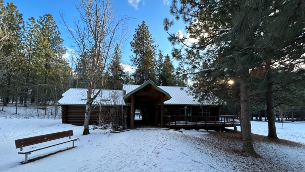
Camp Caro restroom and visitors center. Trail starts through the center of building.
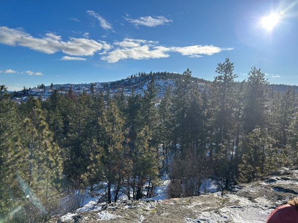
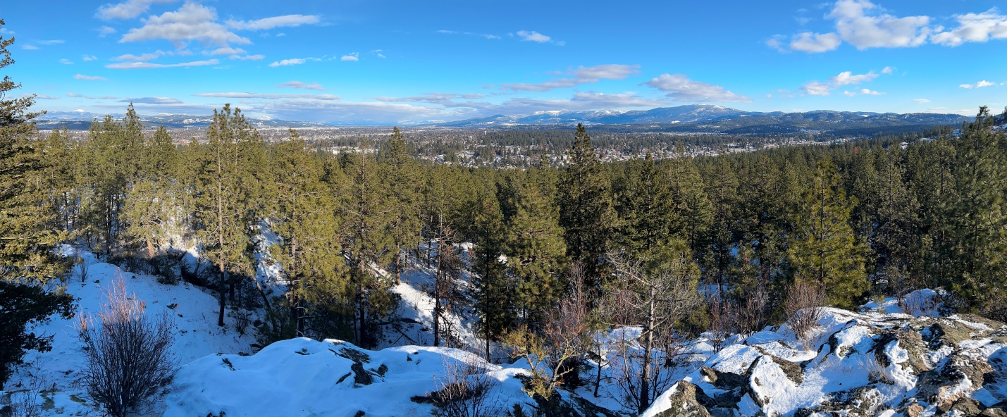
Panoramic to the East from Eagle Peak


