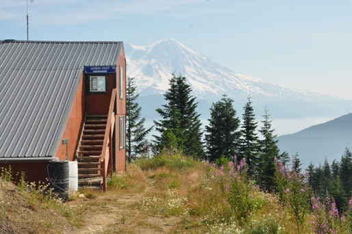
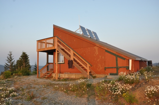
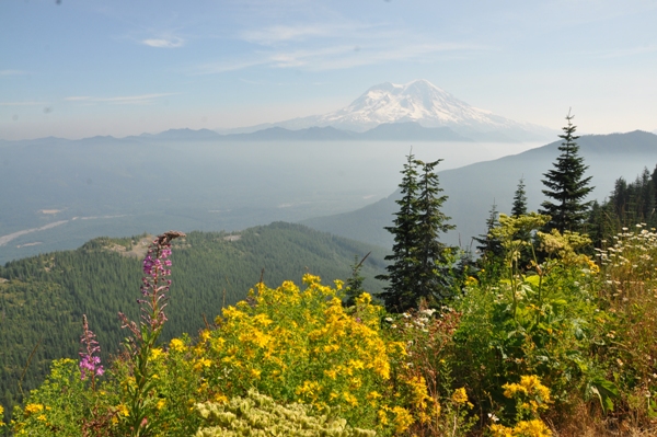
The highpoint of the Mount Tahoma Ski Trails System is High Hut. This hut has the most outstanding view on the entire trail system and you are truly at the highest point possible along the trail. Similar to the other two huts and the Yurt, you can stay the night with a reservation and nominal processing fee. If you have just the day, High Hut makes for a nice place for lunch before turning back for the trailhead. High Hut was built in 1990 but has been expanded to accommodate more people over time. The cabin sits at 4,760 feet with the perfect view of Mount Rainier. Mount Adams and Mt. Saint Helens are also visible on clear days.
Hiking Distance: 2.5 to 4 miles
Summit Elevation: 4,760 feet
Elevation Gain: 1,800 or 2,400 feet
Access: Good gravel roads
Washington Hiking
High Hut In Summer
Access
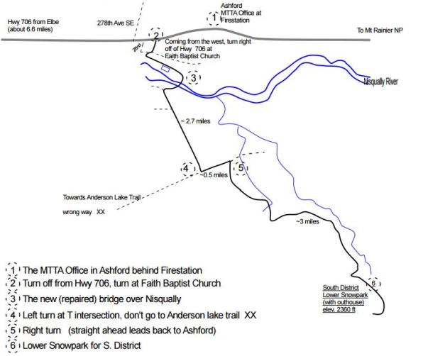
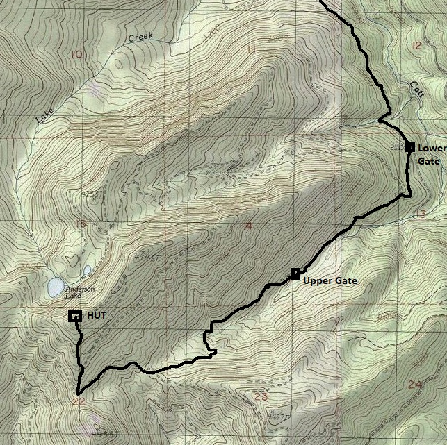
From Elbe, follow Highway 706 east to one mile before Ashford. There is a right turn (south off of Highway 706) at the Faith Baptist Church onto the DNR 1 Road. (see map). Follow the gravel DNR 1 Road for 2.7 miles to a T-intersection. Turn left, go a half mile, then turn right. Follow for 3 miles to the trailhead. Look for signs the entire route saying Ski Trail. If the lower gate is open, proceed further until the upper gate to park.
Route
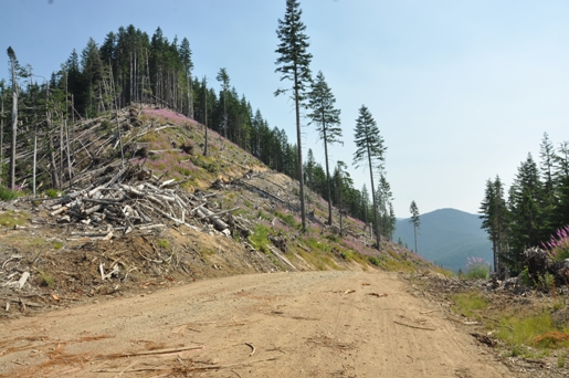
High Hut is reached by a logging road. Depending on the gate, the distance is from 2.5 miles to about 4 miles, climbing the entire time. At 1.5 miles before the summit, you reach a saddle where you can pick between High Hut or Snowbowl cabins.
Permits
I usually don't put this kind of thing on my website as they change often but you can always expect to pay something to park here. Currently 2018: All vehicles parking in summer time need a Discover Pass.
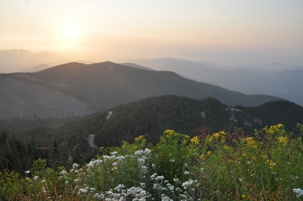
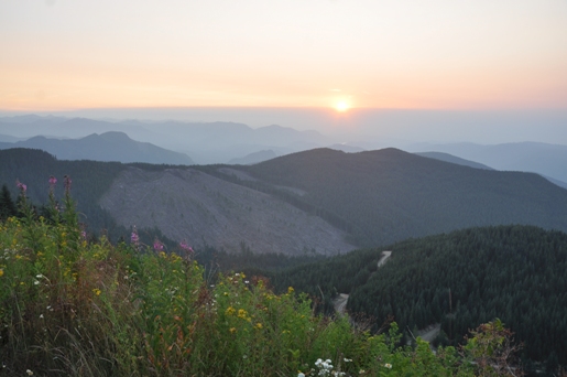
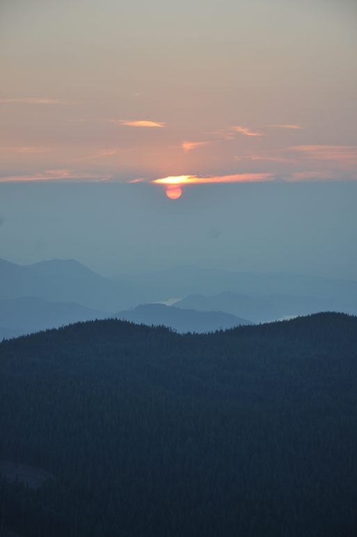
Sunset into the smoke
Access map
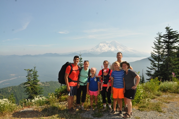
Group shot
Harvested area in route to summit
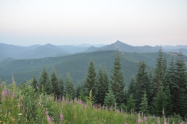
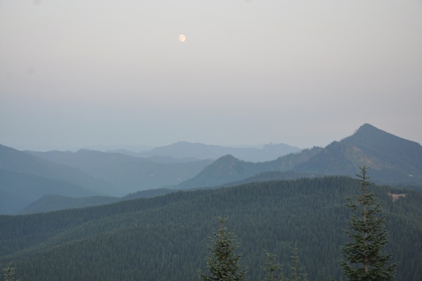
Moon and Griffin Mountain
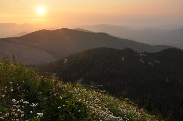
Sunset
Sunset into the smoke layer
Sunset
Southeast
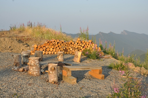
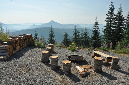
High hut firepit
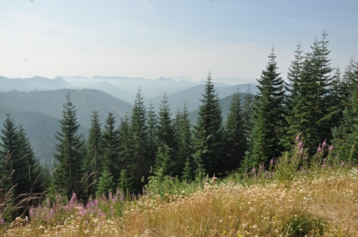
Looking south
Mt. Rainier and smoke in valley from High Hut
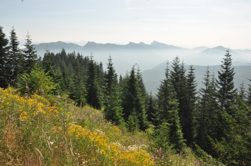
East to the Sawtooth Range
High Hut
High Hut


