Poo Poo Point - Chirico Trail
Elevation: 2,021 feet
Hiking Distance: 1.8 miles one-way
Elevation Gain: 1,760 feet
Access: Paved Roads, free
Poo Poo Point is so popular, so known that news outlets mention it in regular conversation on the air. On any given weekend, you will find hundreds of people hiking up from dusk to dawn. The appeal is its close proximity to Seattle, short distance, and spectacular view. Guaranteeing the view remains is thanks to the point being a launch point for paragliders. This point is by far the most used launch point in Washington. Although a road does reach the point from the other side of the mountain from Hwy 18, it is locked and mainly used by the paraglide companies who lease out a key. Paragliders can still be found carrying their large backpacks up the trail at times. With the location so west of the main Cascades, and low in elevation, the hike can be done year-round.
Route:
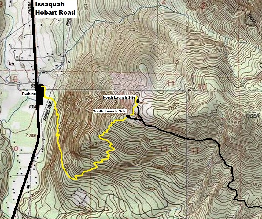
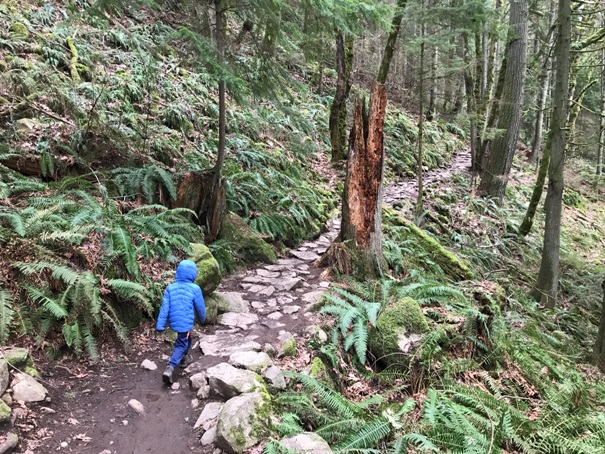
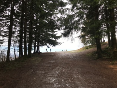
Although I had been to Poo Poo Point by vehicle while working for the DNR, the trail route called the Chirico Trail is so locally famous; I finally made the pilgrimage up. Right out of the parking lot, you might get some action as you cross the landing path of the paragliders, look up signs say. Once the trail gets climbing in the trees, the first half mile is very impressive with rock stones, similar to a Japanese garden, as it climbs below the steep face known as the Yah-er Wall. The trail eventually wraps around the wall becoming less scenic but still a nice forest hike. Before you know it, you arrive at the South Launch Point. Views are nice here of south King County and Pierce County to Mt. Rainier, but continue another quarter mile and 140 more feet of gain to the North Launch Point, your goal. At the North location, there are picnic tables and lots of room to hang out, rest and enjoy the view. Everyone stands around congratulating themselves; it is cute.
From I-90 in Issaquah take Exit 17 (Front Street) and head south on Front Street through the old part of town. At the south end of town, Front Street changes names to Issaquah Hobart Road. At 3.1 miles from I-90, a large graveled parking area is on the left adjacent to the paraglider landing field. The is also some paid parking in a private residence across the street for when it gets busy.
Trailhead Access:

WillhiteWeb.com
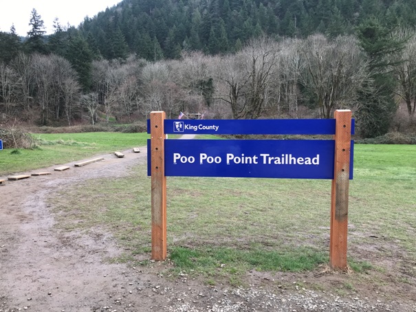
Trailhead sign at the parking area
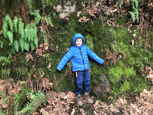
He made me take this picture
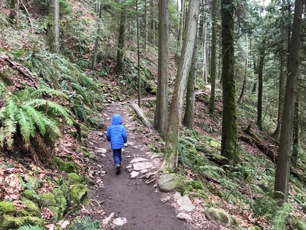
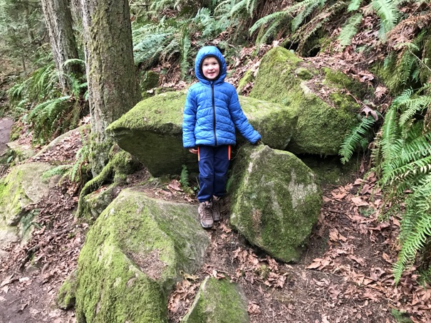
With many breaks, my 5 year old hiked up in 1.5 hours
Rocky step trail
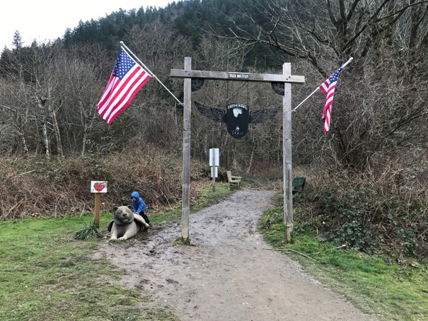
Hard to miss the trailhead
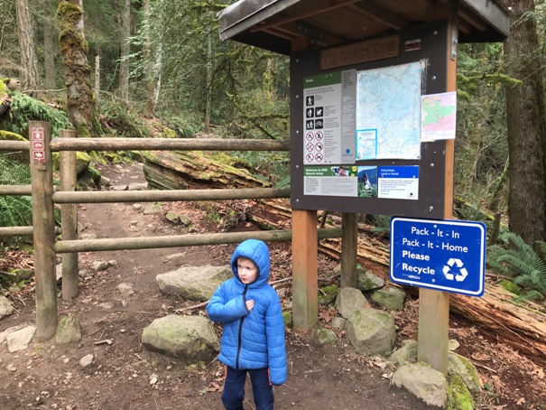
Real trailhead once you hit DNR lands
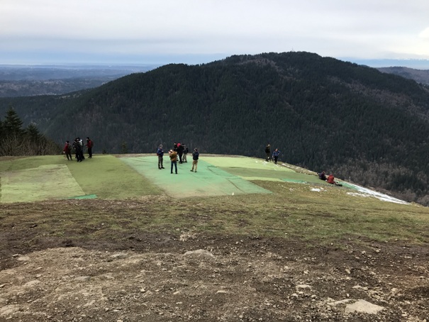
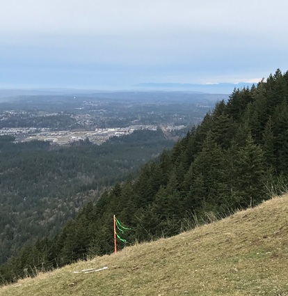
View south from the South Launch Point
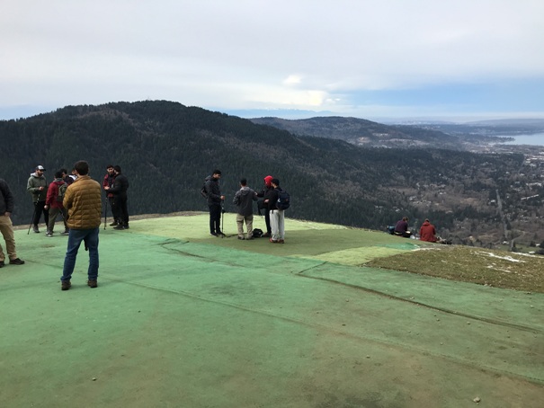
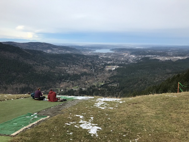
View from the North Launch Point
Sauk Mountain and the North Launch Point
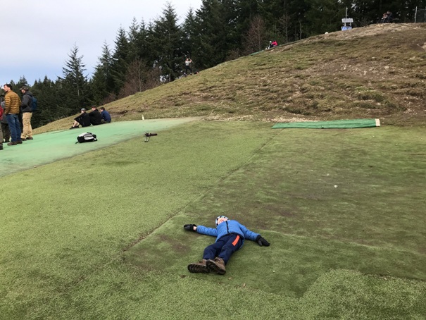
My kid loved the turf grass on top
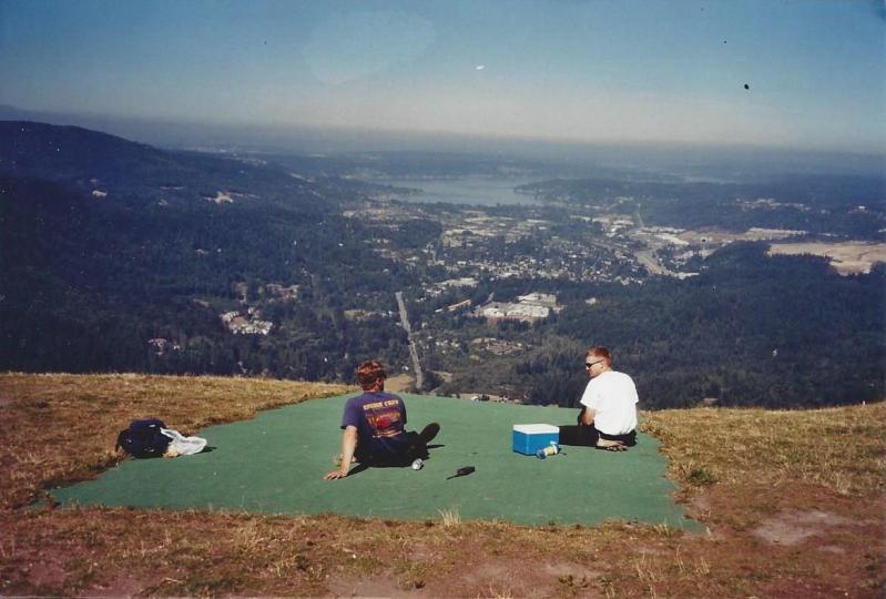
Taken in 2002 during my first visit, as a DNR wildland firefighter (part of our patrol area)
South Launch Point area is large as well
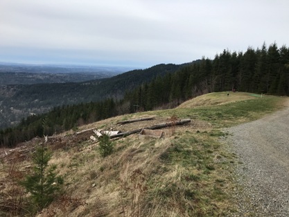
As the road reaches the North Launch Point
Looking north from the North Launch Point
Nobody launching this day in Fabru


