Mount Curtis Gilbert (Gilbert Peak)
If you want to climb the highest mountain in the Goat Rocks, Gilbert Peak is your destination. With an elevation of 8,184 feet and prominence of 3,664 feet, nothing is higher in the region except the other volcanoes. I say other because Mount Curtis Gilbert is technically a volcano.
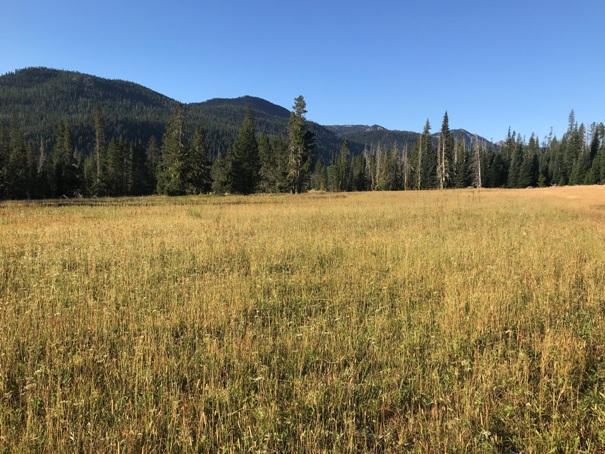
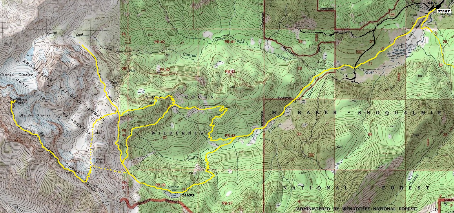
To reach the summit, there are many climbing and scramble routes. The easiest is not the shortest but an easy hike through Conrad Meadows, the largest valley-bottom sub-alpine meadow in the Cascades. The upper route is just a climbers boot path the entire way in late season once all the snow has melted. Near the summit is a short bit of rock scrambling but nothing with real exposure. Expect a hiking distance over 20 miles for the loop trip (see map).
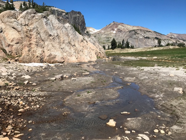
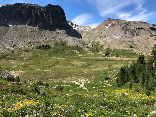
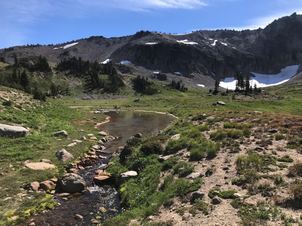
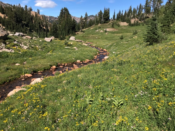
If camping to enjoy the area longer, there are tons of camps at Surprise Lake in the trees or a few spots up at Warm Lake above the tree line. There is some serious enjoyable meadow rambling up in the Warm Lake area.
WillhiteWeb.com
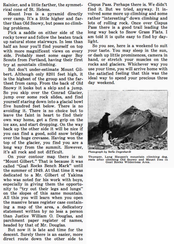

Below: 1954 Mountaineers Trip Report
Warm Lake
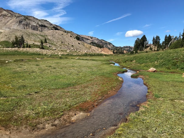
Conrad Meadows
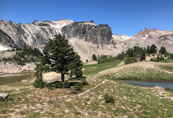
Warm Lake Meadows
Warm Lake Meadows
Warm Lake Meadows
Warm Lake Meadows
Below and north of Warm Lake
Below and north of Warm Lake
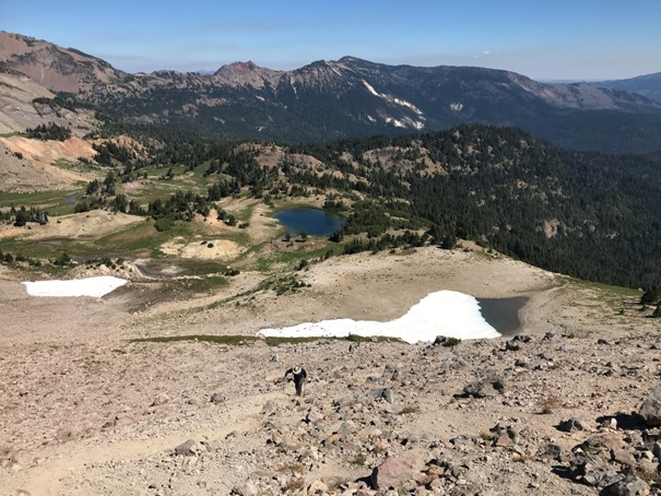
Hiking the path up to the ridge above Warm Lake
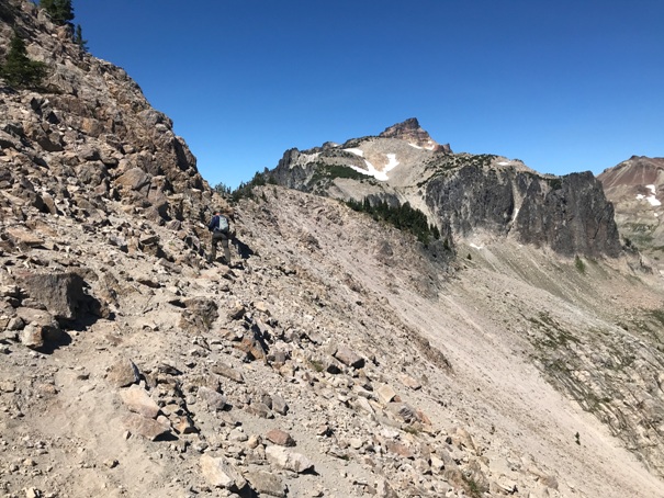
On the boot path in route to Gilbert Peak (in distance).
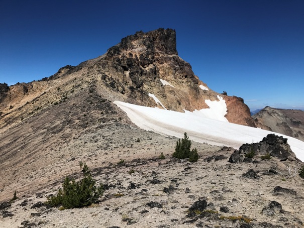
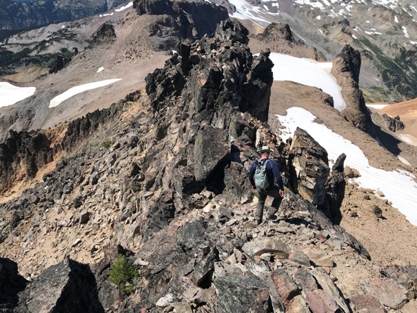
The final climb up Gilbert Peak
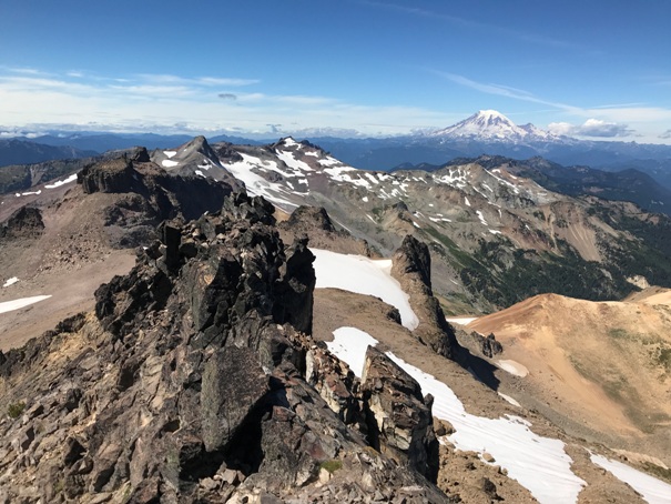
Looking North from the summit to Mt. Rainier
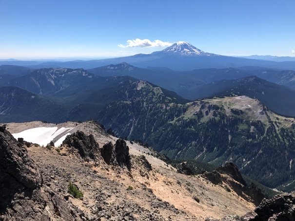
Looking South from the summit to Mt. Adams
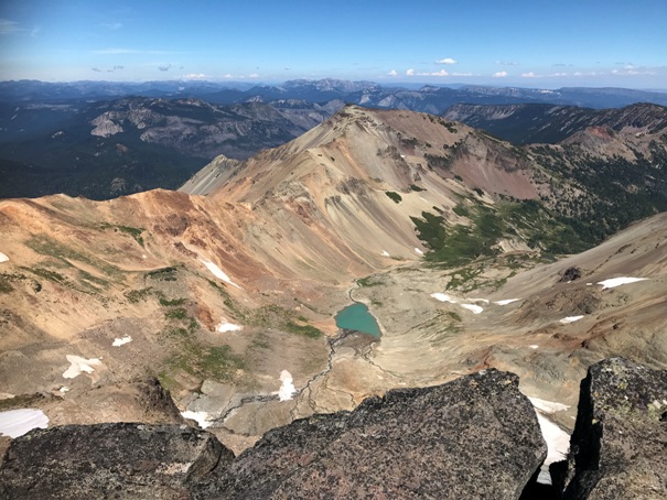
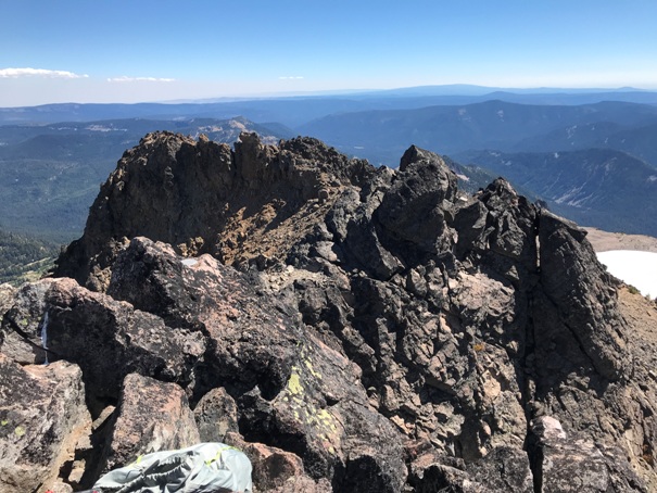
Southeast from the summit
Scrambling down from the summit
Northeast from the summit
Yellow is trail or bootpath. Dashed yellow is a trail but faint in places.
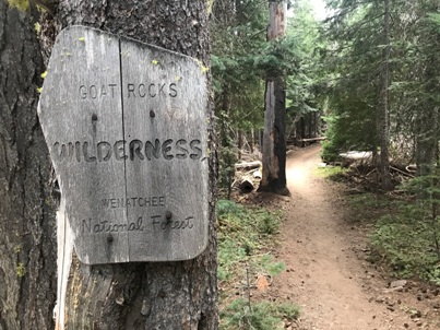
Entering the Goat Rocks Wilderness


