www.willhiteweb.com - Hiking, Climbing and Travel
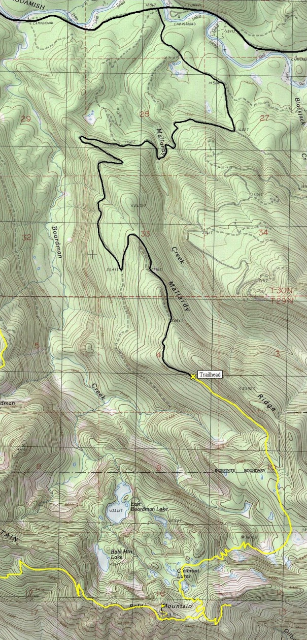
Cutthroat Lakes - Bald Mountain Trail
This hike gives you the opportunity to visit three well known features along the Mountain Loop Highway. First the forests of Mallardy Ridge, then the famous alpine like Cutthroat Lakes and finally Bald Mountain, one of the most unappreciated summits I've visited in the Cascades. This trail was constructed in the 1990s by the efforts of Walt Bailey and friends. It was constructed entirely with volunteer labor. Another trail can access the area from the Ashland Lakes area further west, but it is a much harder hike from there.
I suppose there is good fishing and I hear the berry picking is excellent in fall.
Access:
Distance: 3 miles to the lakes - 4 miles to the peak
Summit Elevation: 4,851 feet
Elevation Gain: 2,500 feet
Access Rating: Good Gravel
From Granite Falls follow the Mountain Loop Highway east for 18 miles to Forest Road 4030 (the turnoff is just before Red Bridge and is easy to miss). Continue for 1.3 miles, turning right onto FR 4032. Drive 5.7 miles on FR 4032 to the trailhead at the road end elevation 3,100 feet. Parking is limited but more space is available 1/4 mile back down the road.
Route:
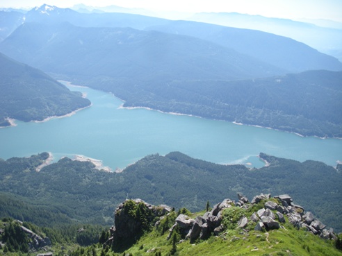
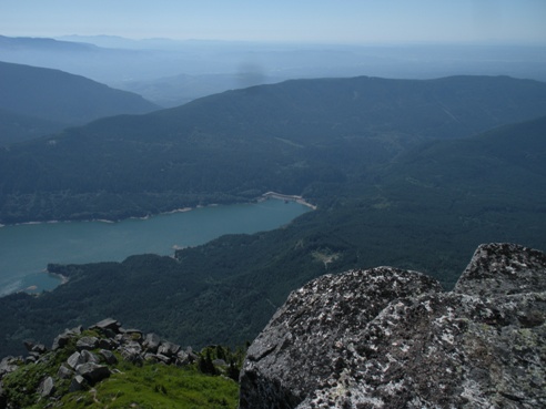
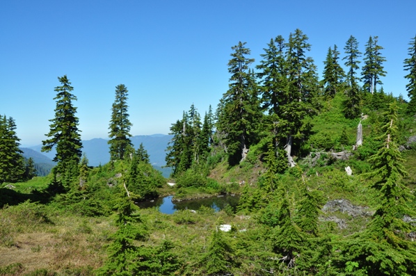
The road ends where the loggers stopped so you walk a bit of second growth before you are out of reach of the old cables. Quickly the trail enters old growth and does a slow rising traverse along the south side of Mallardy Ridge. After a mile or so, you reach some small tarns, bogs and meadows and the trail will drop some. You also enter the Washington State Department of Natural Resources Mount Pilchuck Natural Resource Conservation Area. At the end of the meadows is a traverse below a large cliff and avalanche area. Now the trail gets ugly and climbs 700 feet switchbacking steeply up to the first Cutthroat Lake. Now the payoff, as you walk through a series of tarns and lakes surrounded by heather meadows. Towering above is Bald Mountain and its rocky summit. There are trails in all directions here. Snow sticks around as well. A main trail should shoot south climbing up to the high ridge east of Bald Mountains summit. If no trail is found, cross country to the ridge and you will find the trail on top. Follow the trail as it crosses to the south side of Bald Mountain. The trail then traverses west on the south side of Bald Mountain. Follow it until it is just below the summit, directly below the south face of the biggest cliffs. Follow a climbers trail up and then back east below the cliffs to a class 2 ramp leading up to the east ridge. Once on the ridge, it is an easy class 3 climb with very little exposure leading to the summit. Enjoy the views out over Puget Sound to Mount Rainer, to the Monte Cristo Peaks and directly down to the Spada Reservoir.
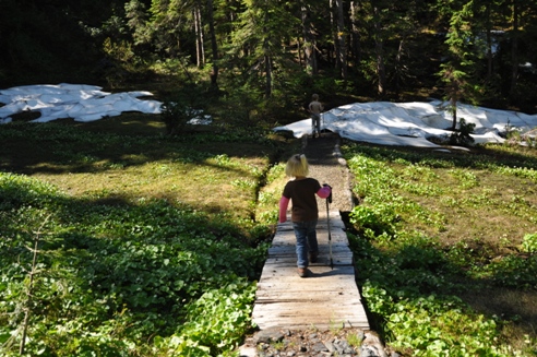
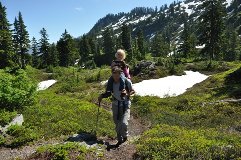
Note: although you may see young kids in my photos, this is not a good trail for young kids. There are lots of roots, steep steps and uneven ground to be found on this trail.
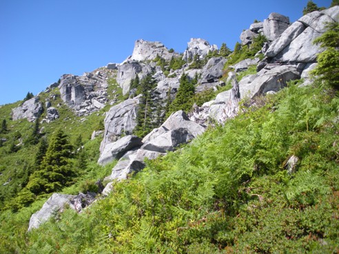
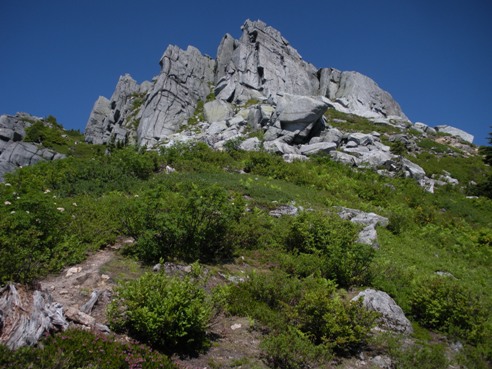

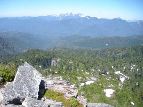
Summit area after you cross over the south side and come out of the trees
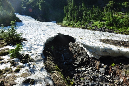
An ice cave the trail went below providing a cool blast of cold air
In the first meadows after a mile or so
Near the first Cutthroat Lake
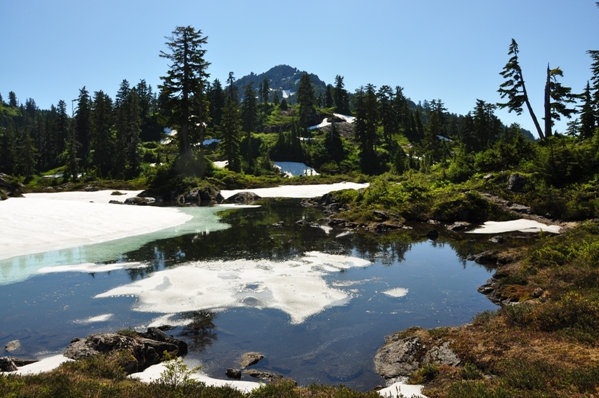
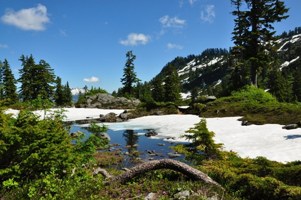
Cutthroat Lakes area
Cutthroat Lakes area
Cutthroat Lakes area
*These pictures are from Aug. 27, 2011 a big snow year!
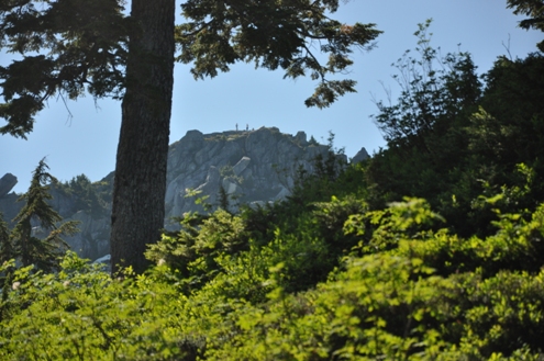
Hikers on the summit (that's me).
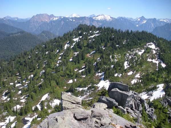
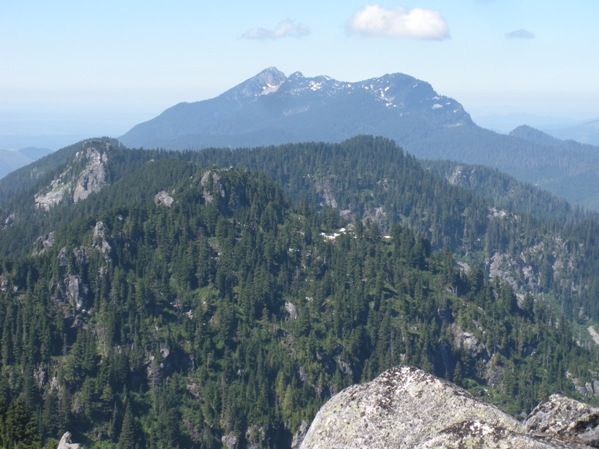
Looking west to Bald Mountain West and Mount Pilchuck
Spada Reservoir and the hazy Puget Sound Basin
Spada Reservoir
Looking east with Big Four Mountain on left with other Monte Cristo Peaks to the right of it
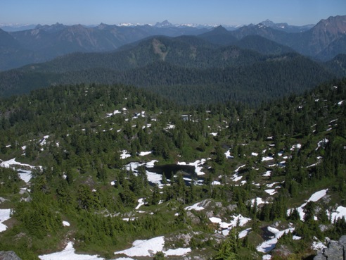
Looking north and down into the Cutthroat Lakes Basin
Looking NW
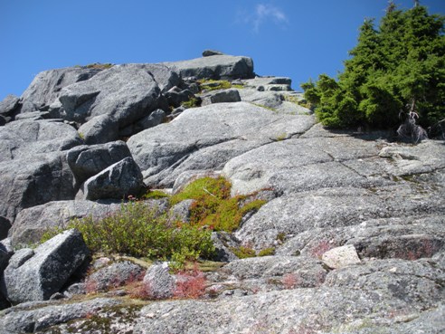
The final scramble on nice granite
A Cutthroat Lake with Bald Mountain in the distance
Bald Mountain from where you leave the trail and climb up to the east ridge scramble


