Cape Flattery Trail
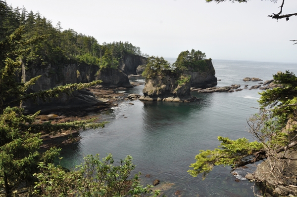
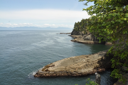
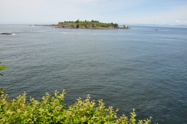
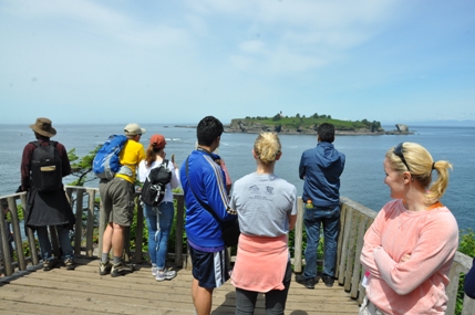
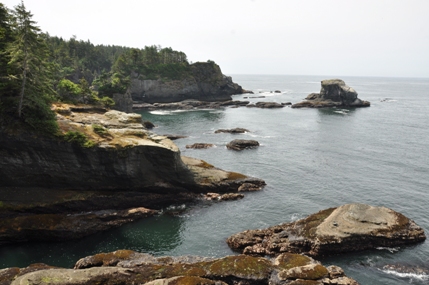
This short trail takes you to the northwesternmost point in the continental United States. This tourist trail starts out hiking through a Sitka Spruce forest but ends at cliffs and sea stacks. Platforms make viewing fairly safe but unprotected cliffs are around so keep young kids close. Boardwalks keep the feet dry through most of the muddy areas. Visitors have a good shot at seeing wildlife such as whales, sea lions, sea otters and many seabirds. Off in the distance is Tatoosh Island, a 20 acre almost treeless island that was used by the Makah as a fishing camp. The first lighthouse on the island was in 1857, with one still standing today.
Distance: 0.75 miles
Elevation Gain: 200 feet on return
Access: Paved
WillhiteWeb.com
Access
Drive to Neah Bay. In town, purchase a required Makah Recreation Pass at any store. Continue west on Bayview Avenue for 1 mile, following signs for "Cape Flattery and Beaches." The signs will take you left on Fort Street, and then a right on 3rd Street. In just 0.1 mile turn left on Cape Flattery Road. Drive 2.5 miles pass the Tribal Center, then another 5.1 miles to the trailhead.
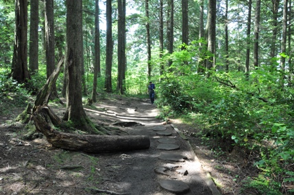
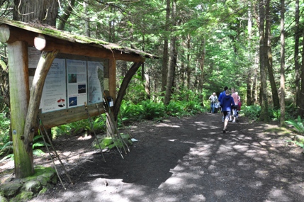
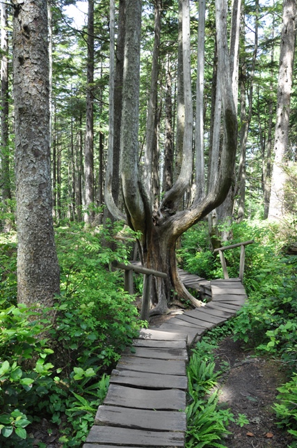
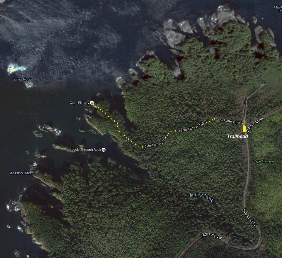
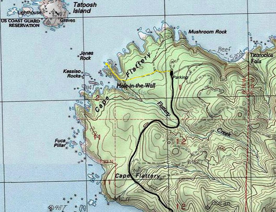
Trailhead
Looking out to Tatoosh Island
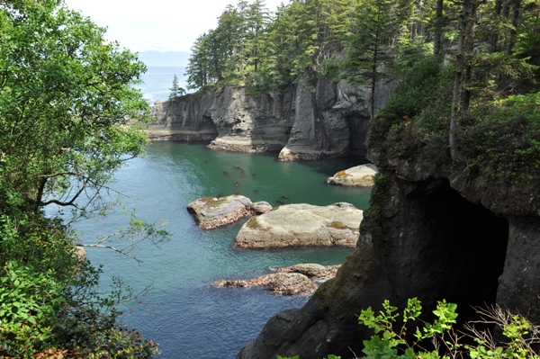
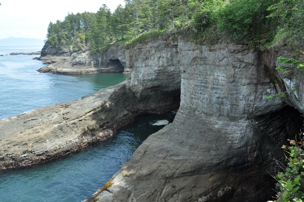
Caves


