April Mountain
Distance: Less than a half mile
Elevation Gain: 400 feet
Summit Elevation: 7,670
Access: Paved
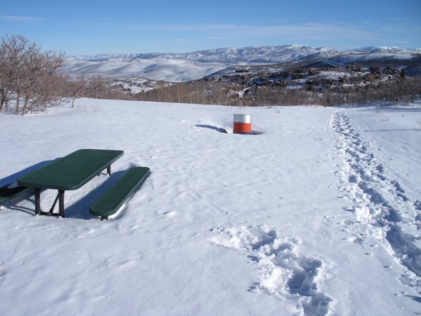
This is basically a city park near Park City with a trail to the highest point. The trip is an extreamly easy snowshoe or summer hike with children. About halfway up are picnic tables so bring a lunch.
The Route:
WillhiteWeb.com
Access:
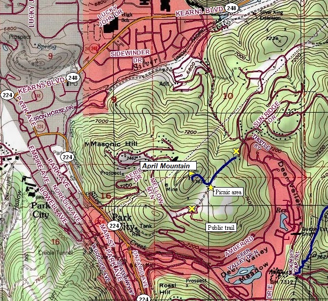
In Park City, make your way over to the Deer Valley area. Use the map below or have your phone direct you to two possible trailheads. I parked in the northern trailhead, one in a cul-de-sac. The public trail goes from the public road right between two houses and onto public land. The other access looks even easier and higher off Mellow Mountain Road.
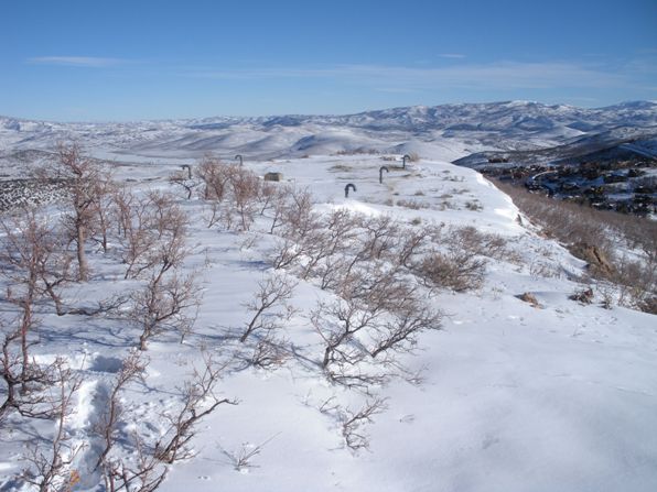
Walk or snowshoe up the trails until you hit the flat picnic area on the east side of the summit. The Gamble Oak Trail works its way through here but does not go to the summit. I believe trails should go to the top in summer but I was snowshoing when I did it. The summit looks to have underground water retention tanks or something built on top.
A city snowshoe trip.
The picnic area, looking north.
Looking down at the picnic area from the summit.
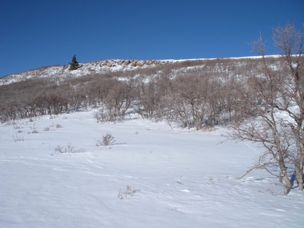
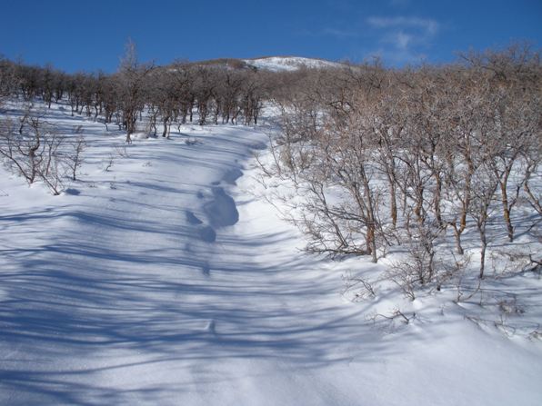
Snowshoing up the trail on the north side.
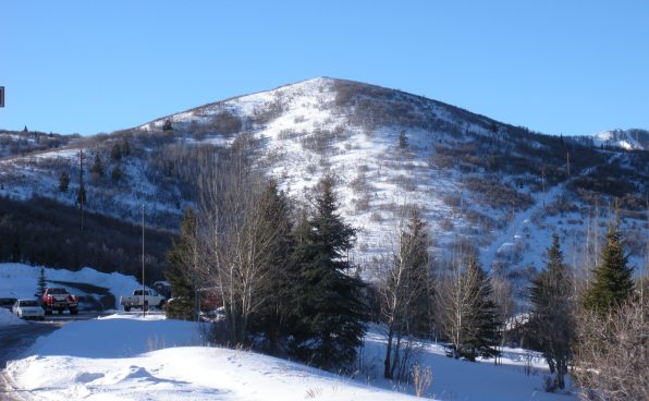
April Mountain from well below the starting point
The summit from the picnic area
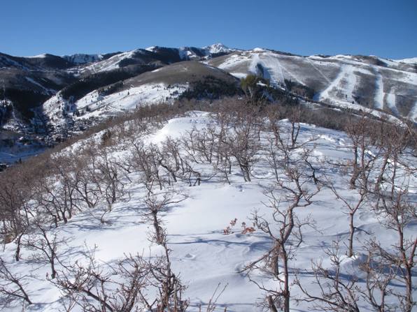
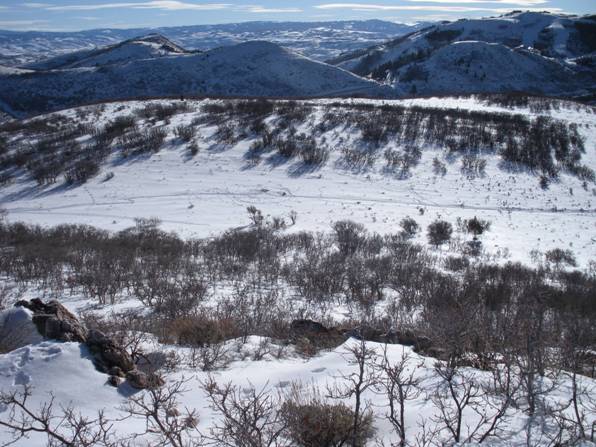
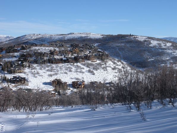
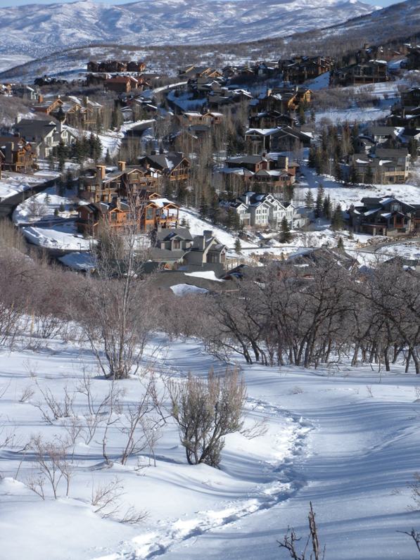
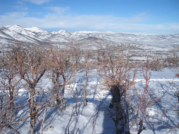
Wasatch Mountains to the west.
Looking north.
April Mountain summit.


