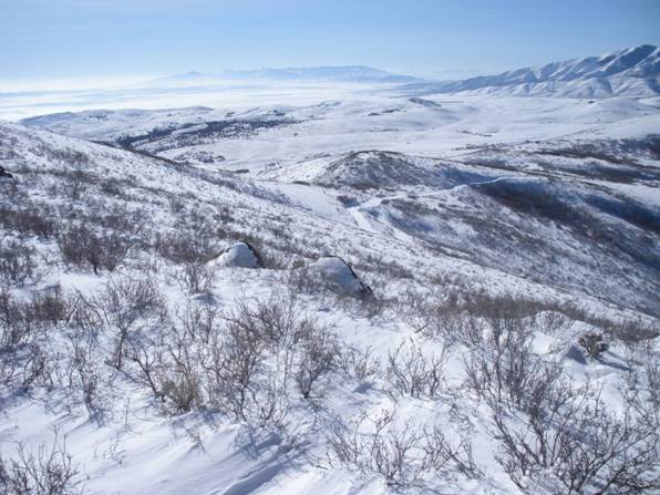

South Mountain
Distance: 1.2 miles
Elevation Gain: 1,400 feet
Summit Elevation: 6,824 feet
Access: Paved
This mountain hides in the foreground of the Oquirrh Mountains. Although the summit is low, the views are awesome as you are on the line between Salt Lake and Utah counties. If you are lucky, you will get a visit from military helicopters as Fort Williams Base is only a few feet south of the summit. Helicopters train almost on a daily basis. This is a good winter trip as access is from a housing development. On the summit is an old fallen over metal tower similar to the one on Mt. Wire.
Follow the ridge west up to the gentle north ridge of South Mountain, about 1,000 feet of gain. Near the top, you have the option of scrambling over the rocks or just going around them. On the north ridge, turn south working your way up to some old power poles and a road that comes from the south. Walk the road until it starts to descend, climb southeast toward the metal debris on the summit.
Old Route:
WillhiteWeb.com
Access:
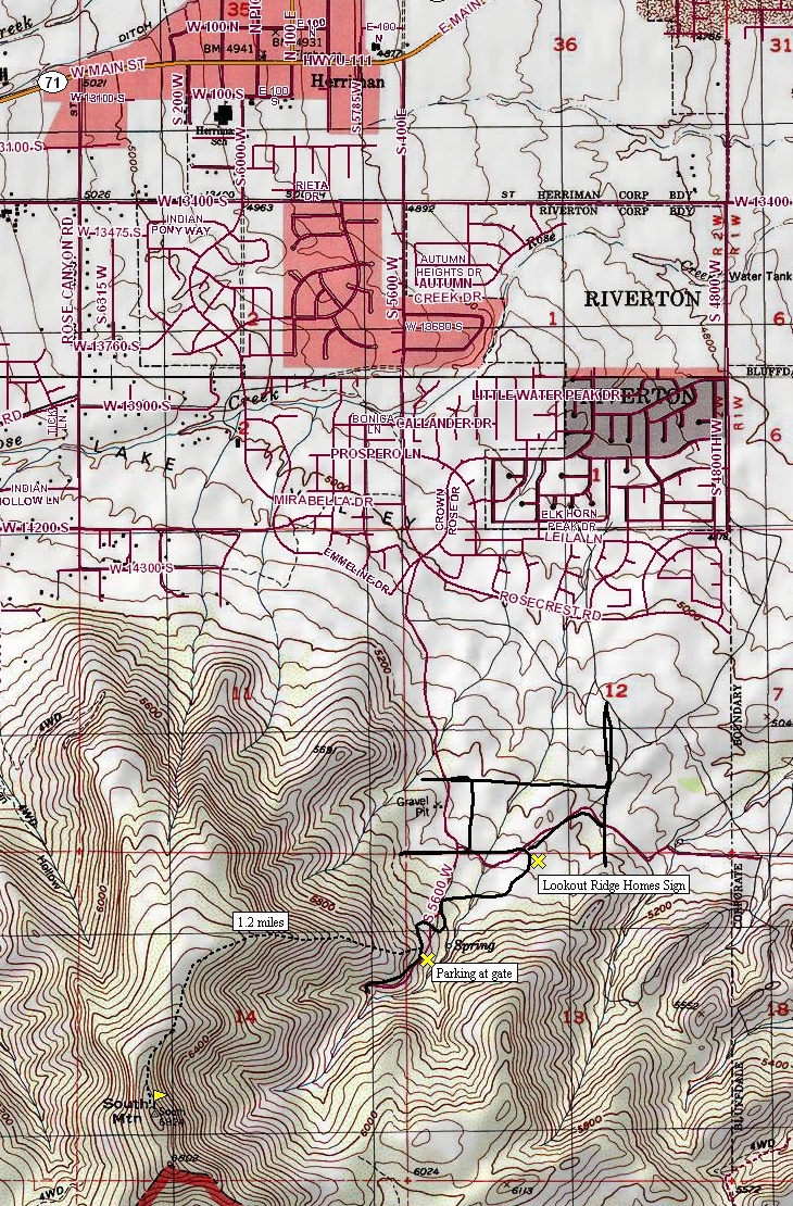
Drive to the city of Herriman in SW Salt Lake County. Take 5600W south into new developments. There are lots of new streets so I am not able to give directions anymore. Have your phone take you to Diamondback Trail, just off of South Muirwood Circle. There is also a Wide Hollow Trailhead with public access. At the time I climbed here, there were only 2 houses but things have drastically changed.
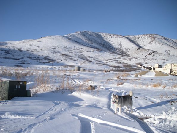
South Mountain from roads below trailhead.
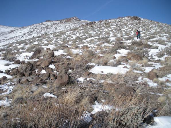
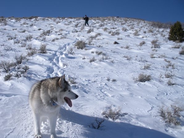
Working our way west up the ridgeline.
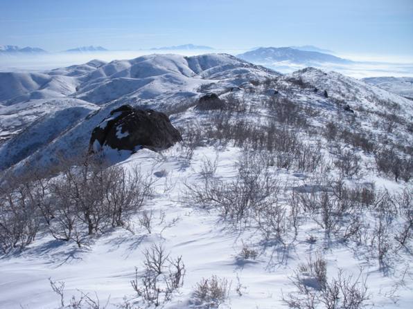
Views only a few hundred feet up the ridge.
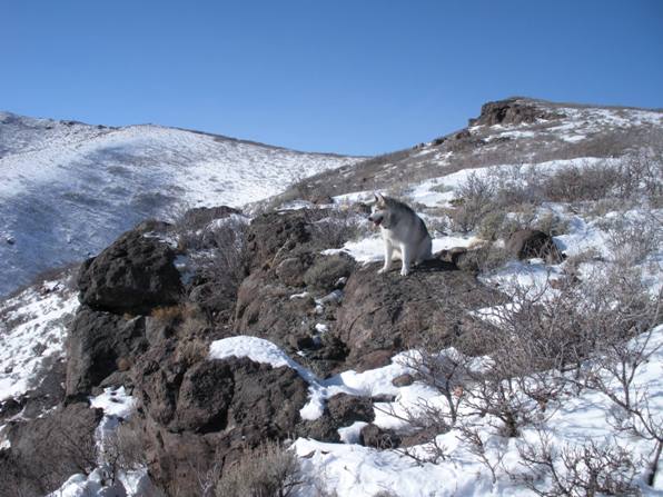
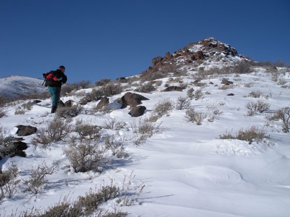
Approaching the rocks on the ridge.
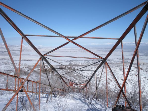
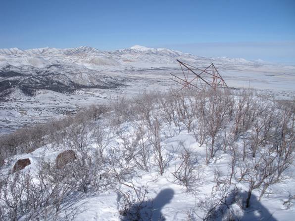
Old fallen over lookout.
Dozer just above the rock area
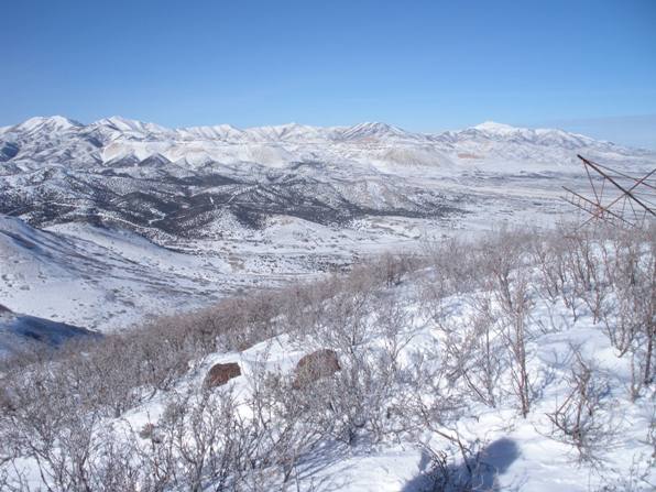
Oquirrh Mountains, Flat Top and Lowe.
Coming down, near the road.
Road near the bottom is all full of houses now.
Looking south over the restricted peaks on Fort Williams.
Looking east to the Wasatch Mountains.
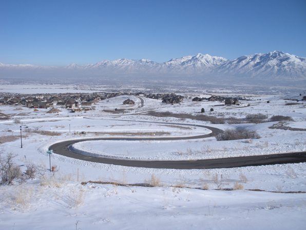
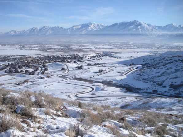
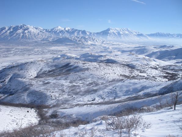
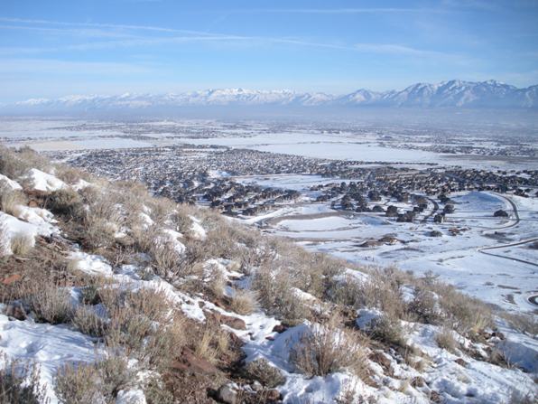
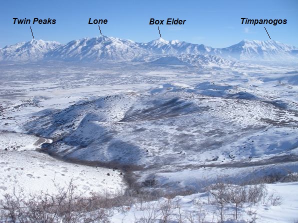
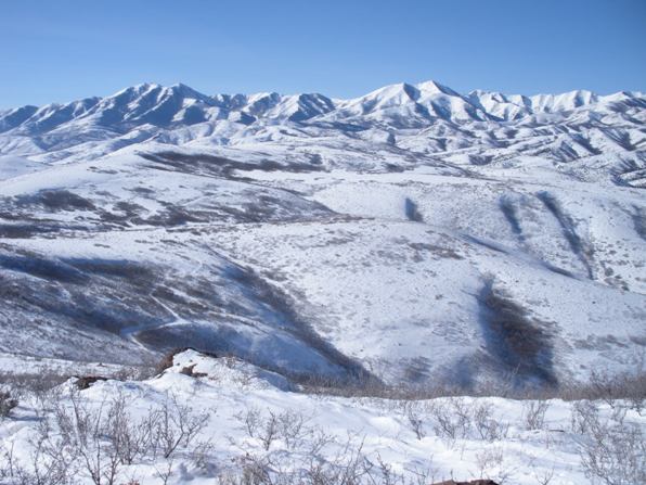
Harriman and the Salt Lake Valley.
Looking southeast to the Wasatch Mountains.
Oquirrh Mountains.
Oquirrh Mountains.
View south, southwest.


