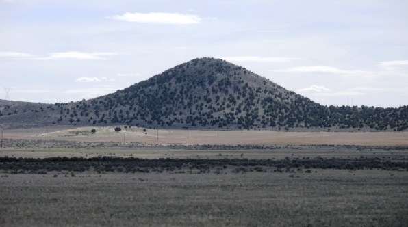
Sugarloaf is a Utah dumpster diver peak west of Nephi. I liked this peak because of its easy access off a state highway. If you happen to be driving between Nephi and Delta on Highway 132 and want a break, take a hike up this knob.
Sugarloaf
Distance: 0.5 miles
Elevation Gain: 300 feet
Summit Elevation: 5,928 feet
Kid difficulty rating: Easy
WillhiteWeb.com
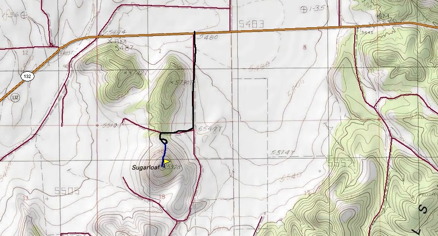
Access:
Route:
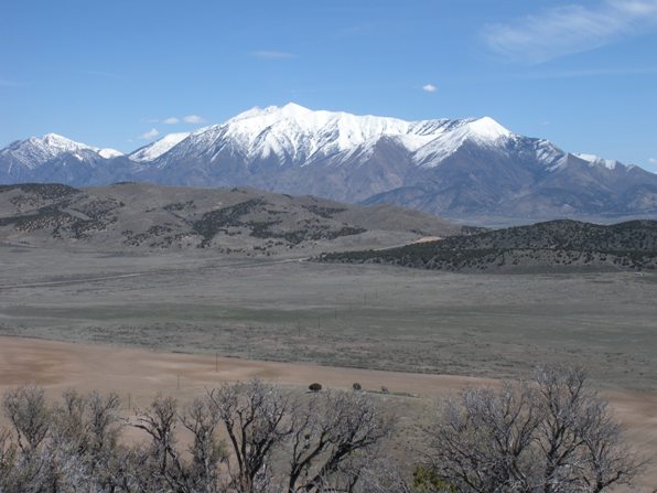
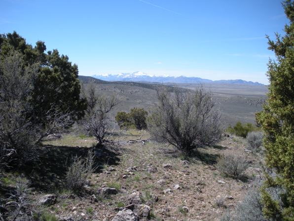
Mt. Nebo and the gap Hwy 132 goes through the West Hills
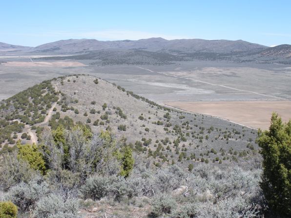
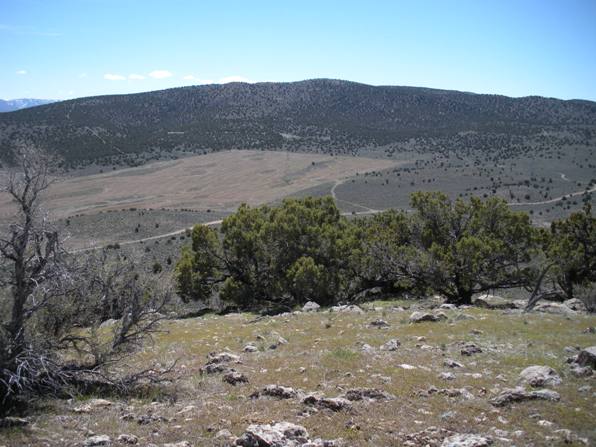
Looking north to Long Ridge, my second summit this day
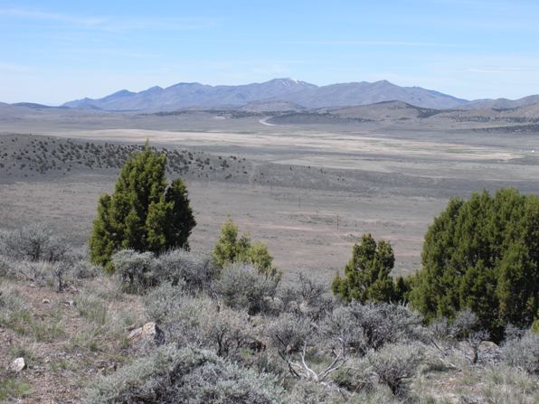
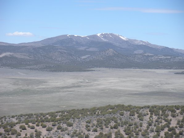
San Pitch Mountains
Fool Creek Peak and the Canyon Mountains
Champlin Mountain
Tintic Mountain
Sugarloaf from the upper trail start
Hike up easy slopes on the north ridgeline. No obstacles or issues of any kind.
From I-15 and Nephi, take Highway 132 West. After the first pass over the West Hills, the road continues westward across Dog Valley. About 1 mile before the road turns SW at a big curve, a gravel road turns left. (You’ll see Sugarloaf at this point). Take this road for 0.7 mile to your first right. Follow up to the saddle on Sugarloaf’s north ridge. Park here or if you have 4WD, climb left up a steep hill to the power lines and park.
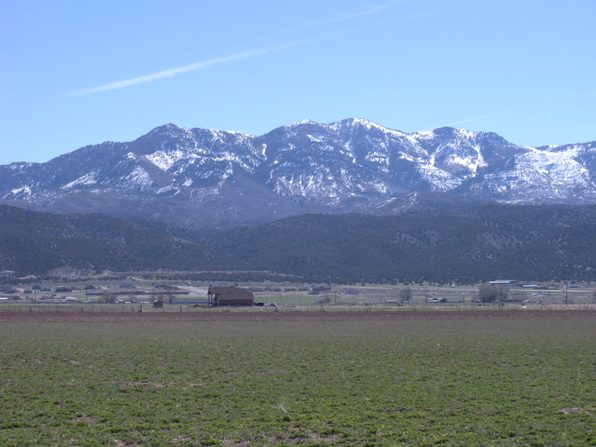
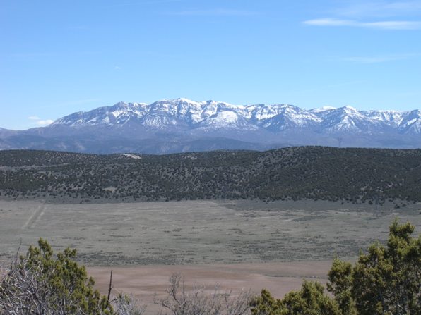
San Pitch Mountains
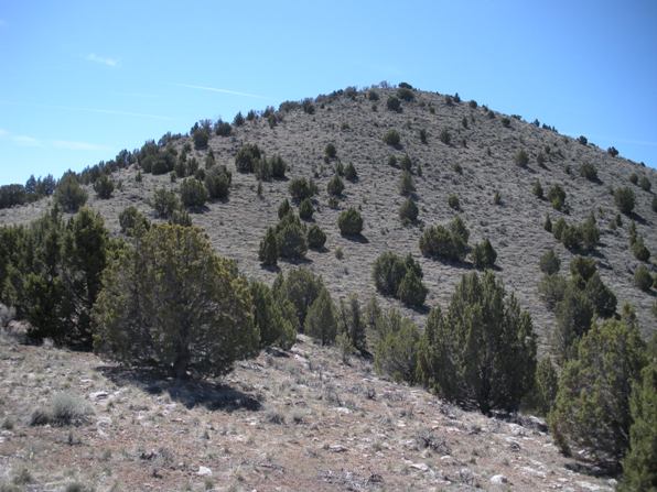
Sugarloaf
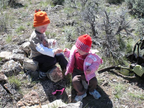
Kids on summit


