From I-15, take highway 6 west to Eureka and continue to the junction with highway 38. Take a right on highway 38 following it for a short distance to Tintic Junction (a paved 4 way with a few buildings). Turn left on an unsigned Cherry Creek Road. This road is paved at first and crosses some railroad tracks before becoming dirt. Follow the well graded Cherry Creek Road for 11.1 miles from highway 38. Turn left onto a high clearance 4WD road (camping spot) that starts to climb the north side of Maple Peak. Follow the road as high as you can go. I parked at 7,525 feet. An unlocked gate was high on the mountain but no signs say anything.
Maple Peak is an out of the way peak at the southeast end of the Sheeprock Mountains, west of Eureka. Maple Peak has over 1,000 feet of prominence so it is noticeable from many vantage points in the western desert.
Maple Peak
Distance: 2 miles from 2WD start, under 1 mile from 4WD start
Elevation Gain: 1,268 feet from 2WD start, 500 from 4WD start
Summit Elevation: 8,060 feet
WillhiteWeb.com
Access:
Route:
Walk the road up the north side as it increasingly gets more narrow and faded. The road becomes an ATV trail above 7,600 feet and stops completely below some rocks near the summit. Go around or up through the summit rocks to the ridge and final short ridge to the southern higher peak. Find the register and benchmark in the rocks.
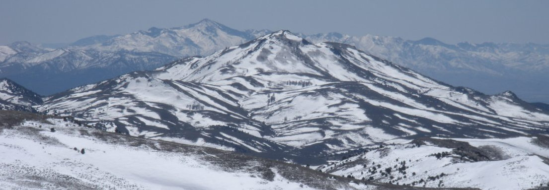
Maple Peak from Sabie Mountain
Maple Peak from 7,525 feet.
Sabie Mountain at sunrise.
North side of Maple Peak from Peak 6965.
Above: Roads in the Tintic Junction area
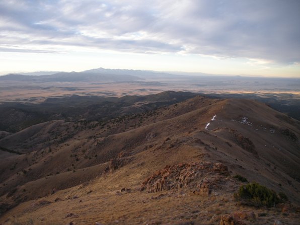
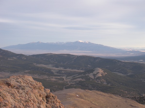
Looking south with Fool Creek Peak in the distance.
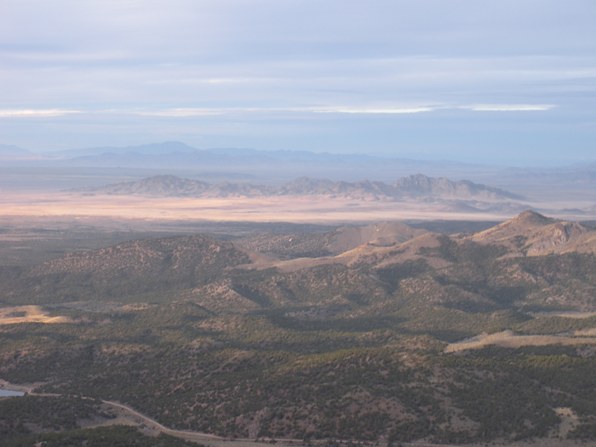
Looking southwest with the Desert Peaks out in the flats.
Looking north to the Oquirrh Range.
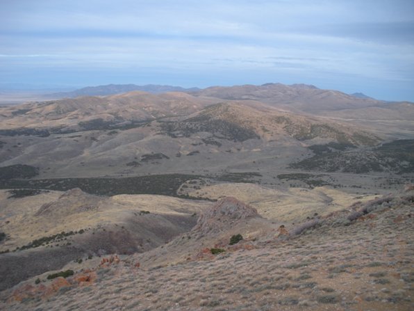
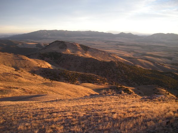
Looking west at the Sheeprock Mountains.
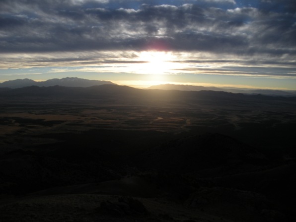
Sunrise over the Wasatch Mountains
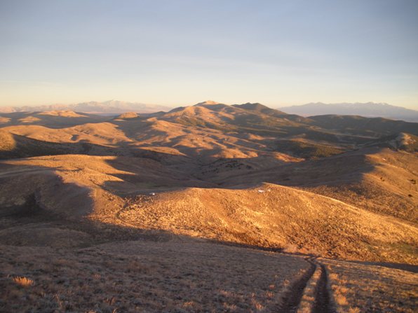
Sunrise while climbing Maple Peak.


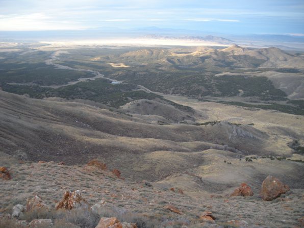
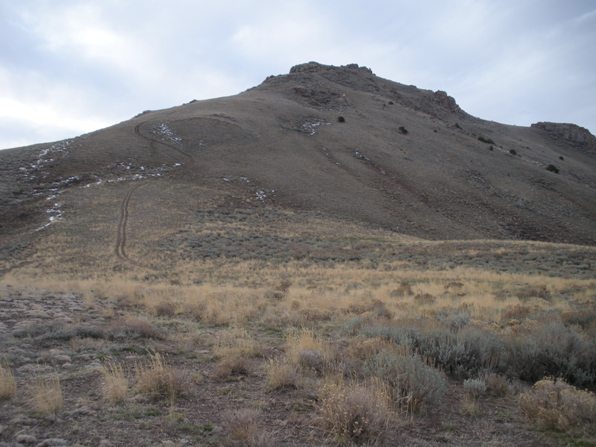
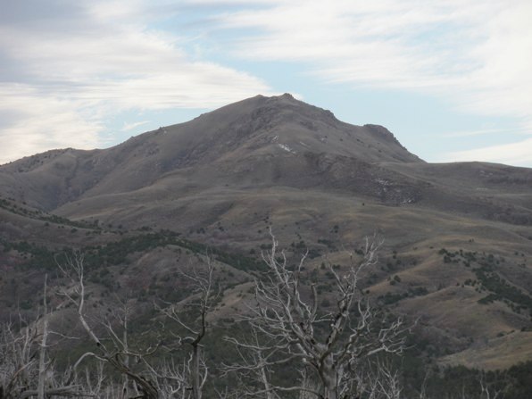

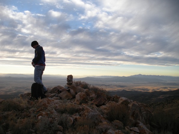
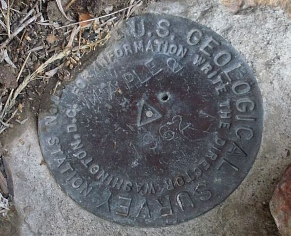
Summit.


