WillhiteWeb.com
Distance: Less than half mile
Elevation Gain: 200 feet
Summit Elevation: 8,829 feet
Prominence: 1,261 feet
Access: High clearance or walk
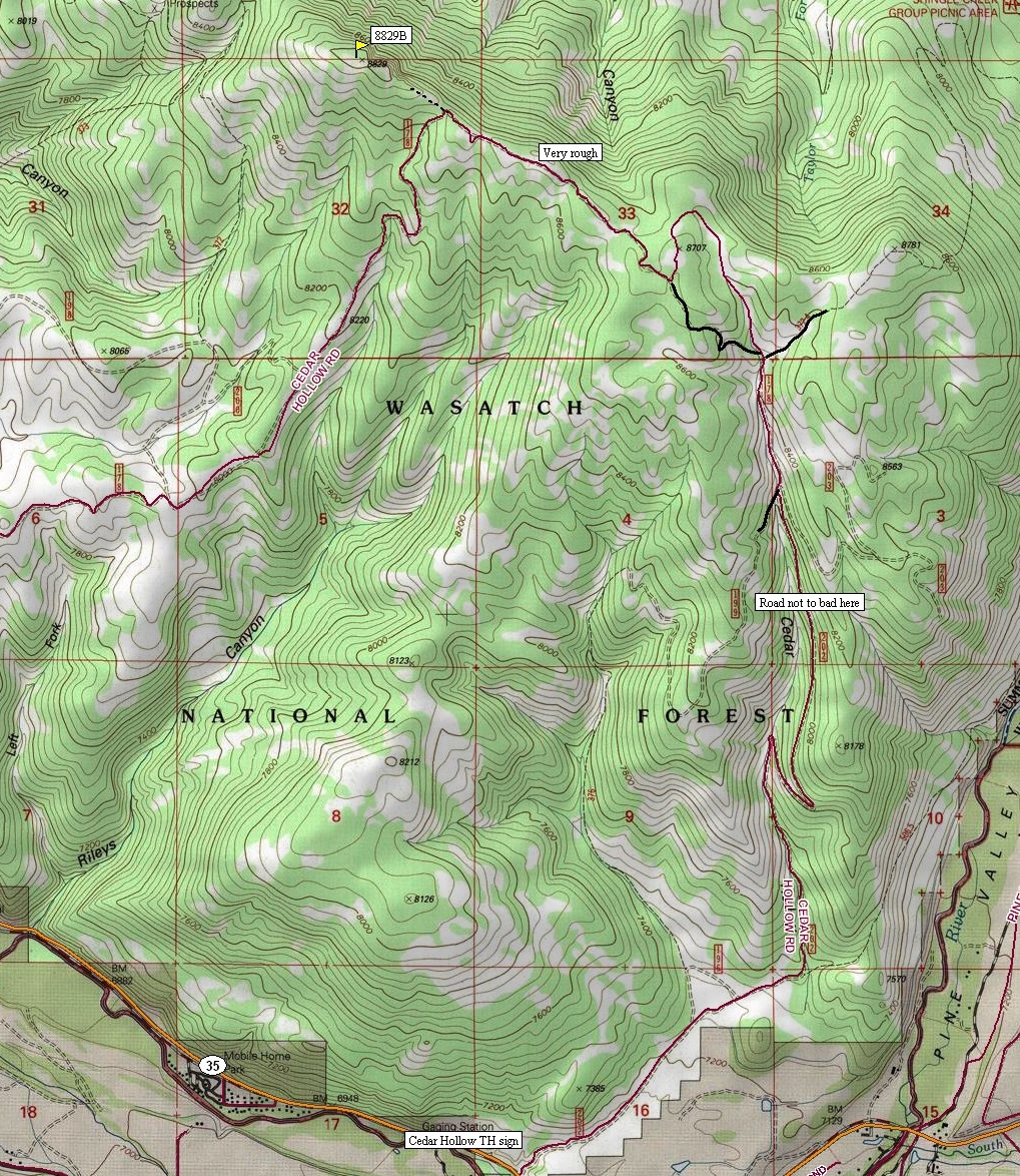
Only do this peak if you meet one of these 3 circumstances. If you are trying to climb all the mountains in Utah with 1000+ prominence, this one is the 214th most prominent in the state. If you feel like driving a really rough road, the second half of this trip is for you. Finally, if you are looking for a place to cross country ski some winter, this trip could be a interesting days adventure from the valley bottom. Other than that, the view from the top is not so good and the hike is forested. I marked on the map where the road deteriorates so one could hike from that point to the summit. There were a few pull-outs and spur roads you could park in. This would be a good bad weather trip.
Peak 8829 (Woodland Peak)
Access:
Everyone drives by this mountain on their way to the Uintas. It is the first mountain out of Kamas and Francis. Take Highway 35 east from Francis, through Woodland and several miles more until you see the sign for Cedar Hollow Road. Take a left onto Cedar Hollow Road passing through a large ATV trailhead. Follow this main road as shown on the map. Near the bottom are endless campsites, probably full of motor sport enthusiasts. You will run into them along this entire route so keep and eye out. The road makes a turn north going into Cedar Hollow. Again, this part of the road is not too bad and most cars could go this far. As it climbs and does the switchback in the canyon, the road starts to become rough. Follow the road until a major split at 8,500 feet. Go left, making several sharp curves as it climbs to the ridgeline. Once on the ridgetop, you are driving your vehicle with the ATVers going around you. The road does some ups and downs; the parking spot is after a rather large drop on the ridge. Your at the place to park where the road really starts dropping south off the ridge. Room for 2-3 cars.
Route:
From the car, walk the ridge west on a faint hunters trail. It soon disappears but the brush is easy. Follow the ridge past a couple of spots that appear could be the top. The actual summit is a rock but trees still block views.
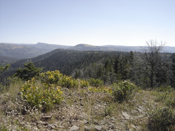
View east from the summit area
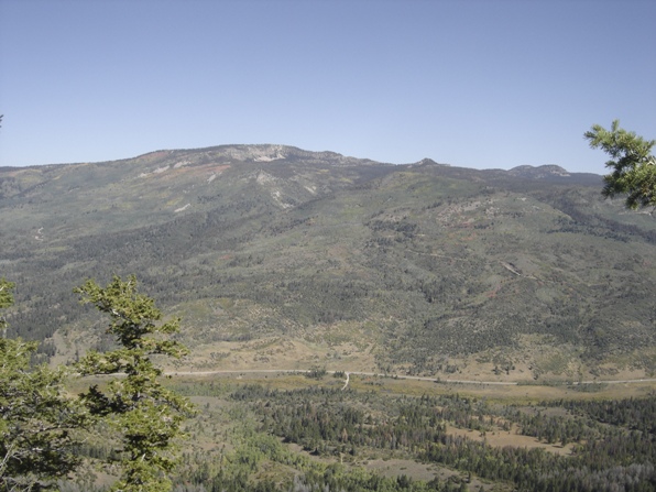
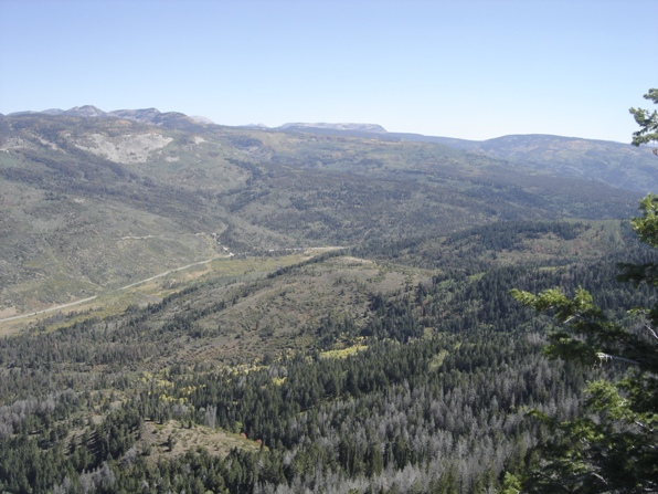
Looking down on highway 150 and the southern Uinta Mountains
Looking north to Hoyt Peak
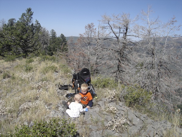
Kids on the summit
Woodland Peak from highway 150
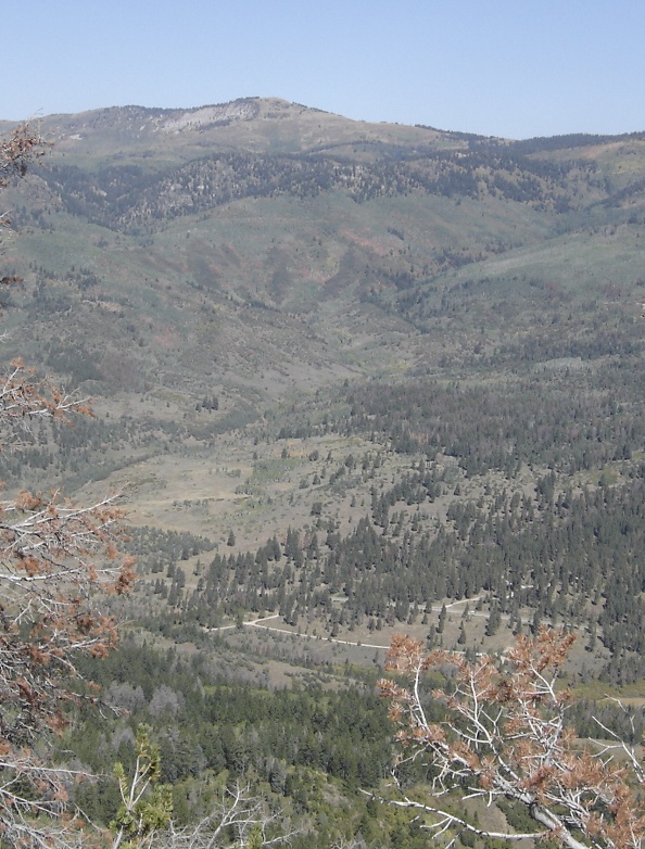
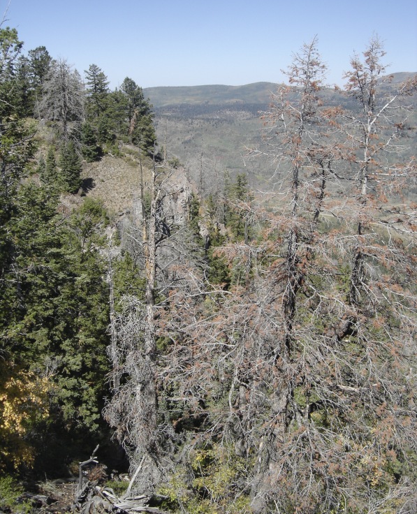
Looking north to Hoyt Peak
