Mount Rogers - Virginia Highpoint
WillhiteWeb.com
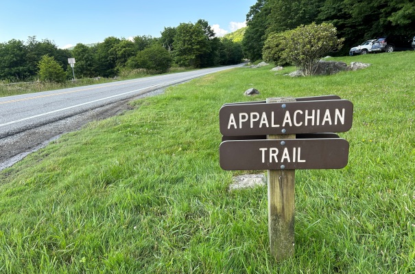
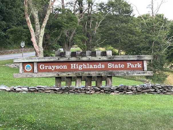
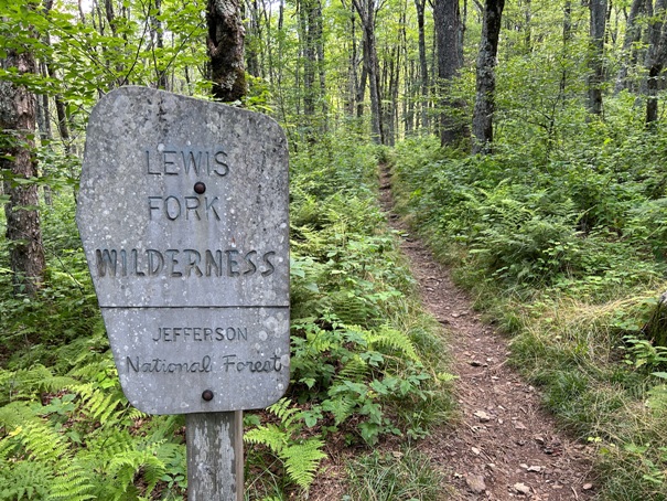
The highest point in Virginia is one of the least interesting state highpoints. Even in 2023 when I visited, you could arrive at the summit by the trail and have no clue you are on the highest point in Virginia. There are no signs anywhere to indicate this fact, although there once was. There are a few benchmarks but those can be found everywhere. But, approaching the mountain can be interesting. One approach is via the Appalachian Trail and passing though the Lewis Fork Wilderness. The more popular approach is through Grayson Highlands State Park and the wild ponies roaming the hills.
Summit Elevation: 5,729 feet
Prominence: 2,449 feet
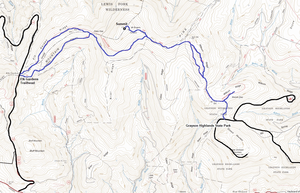
Hiking Distance (option 1): 4.3 miles one-way via State Park
Hiking Distance (option 2): 5 miles one-way via AT
Elevation Gain: 1100 feet via State Park, 1200 feet via AT
If using the AT, there is free parking at the Elk Garden Trailhead off VA-600. If using Grayson Highlands State Park, just follow your GPS. (Parking fee at State Park)
Access
Mount Rogers was named for William Barton Rogers (1804-1882). He was appointed the first Virginia state geologist in 1835 in the newly organized survey of the state. Along with his younger brother, Henry Darwin Rogers, he charted the geologic structure of the Appalachian Mountains. In 1853 he moved to Boston, and in 1861, largely owing to Rogers efforts to establish a technical school; the Massachusetts Legislature incorporated the Massachusetts Institute of Technology. When it opened in 1862, Rogers was elected its first president. After his death in 1882, the state of Virginia changed the name of Balsam Mountain to Mount Rogers in his honor.
History
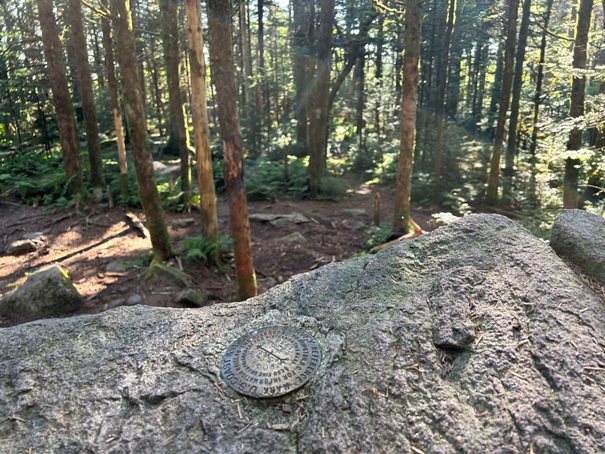
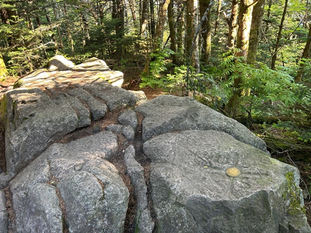


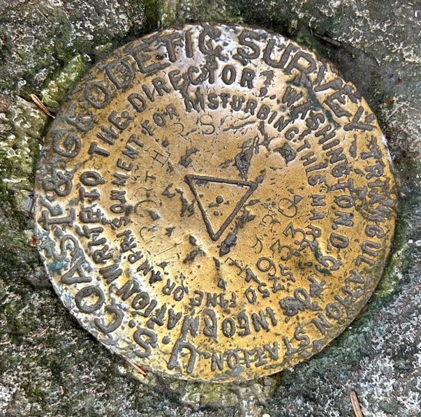
Summit station benchmark
Directional benchmark pointing to the station mark
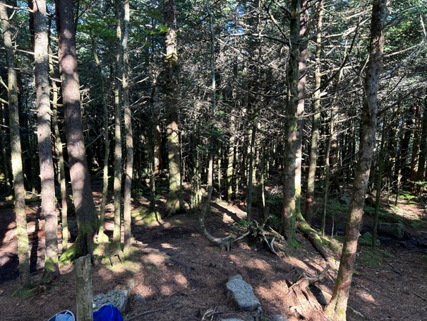
Summit of Mt. Rogers
Summit of Mt. Rogers
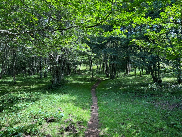
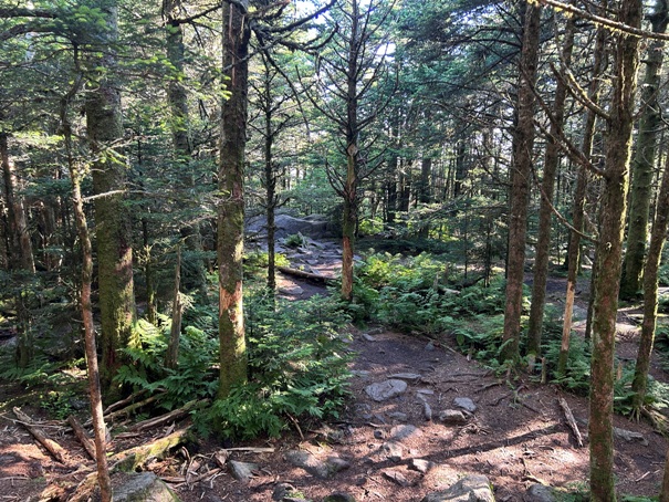
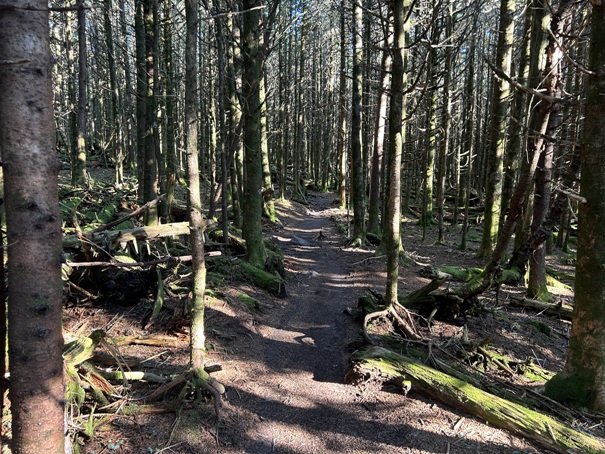
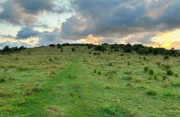
Trail near the summit
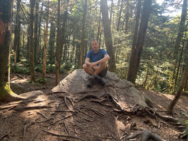
I did meet several people on the summit
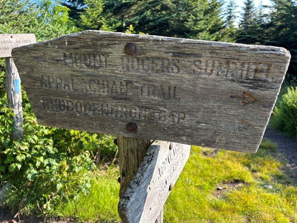
The summit sign off the Appalachian Trail (a half mile side trip)
Some views off the Appalachian Trail from just before the spur trail split
Same as above just a panoramic
The more popular option is to start here at this State Park
I started here at the Elk Garden Trailhead since I was arriving late at night
On the Appalachian Trail
Appalachian Trail goes through the Lewis Fork Wilderness


