
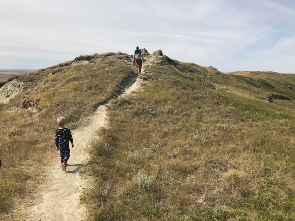
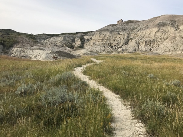
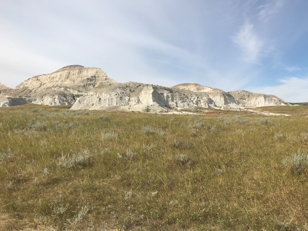
White Butte is a state highpoint that requires some driving out of your way. Nobody is just passing by this area. But the hike is easy and the terrain interesting. The trail follows an old road for one mile, then a traditional trail for 0.7 miles. The old road was once drivable so old trip reports might suggest driving. But, agreements have been made with the landowner and now access is certain, but the hike is a bit longer. The old road would get muddy when wet. Snakes have been reported on the trail so keep an eye out. White Butte is named for the white rock and soil containing bentonite. Old Indian burial grounds have been found on White Butte.
State Highpointing
White Butte - North Dakota Highpoint
Elevation: 3,506 feet
Hiking Distance: 1.7 miles one-way
Elevation Gain: 400 feet
From Amidon, take 85 east for 2 miles to 140th Ave SW (gravel road) There is a sign on Highway 85 east of Amidon that indicates White Butte. Take this gravel road 5 miles to a unsigned right turn. If you feel like you are starting to pass White Butte, you went too far. You can also access 140th Ave SW from Bowman, traveling north on Hwy 85. Go north of Bowman on 85 to 74th St., turning right and going 4 miles to a left on to the same 140th mentioned above. Just go to a online map of the area and you can figure it out.
Access:

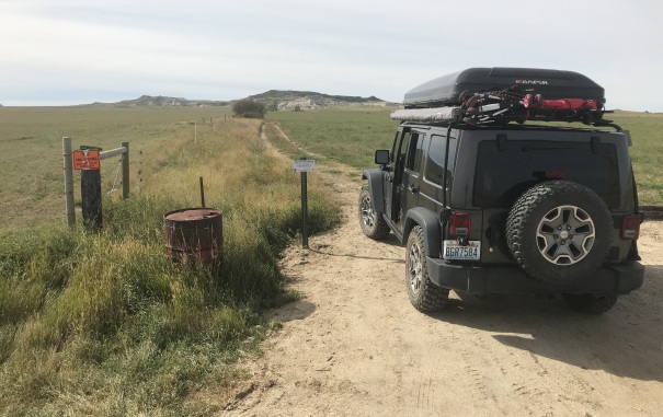
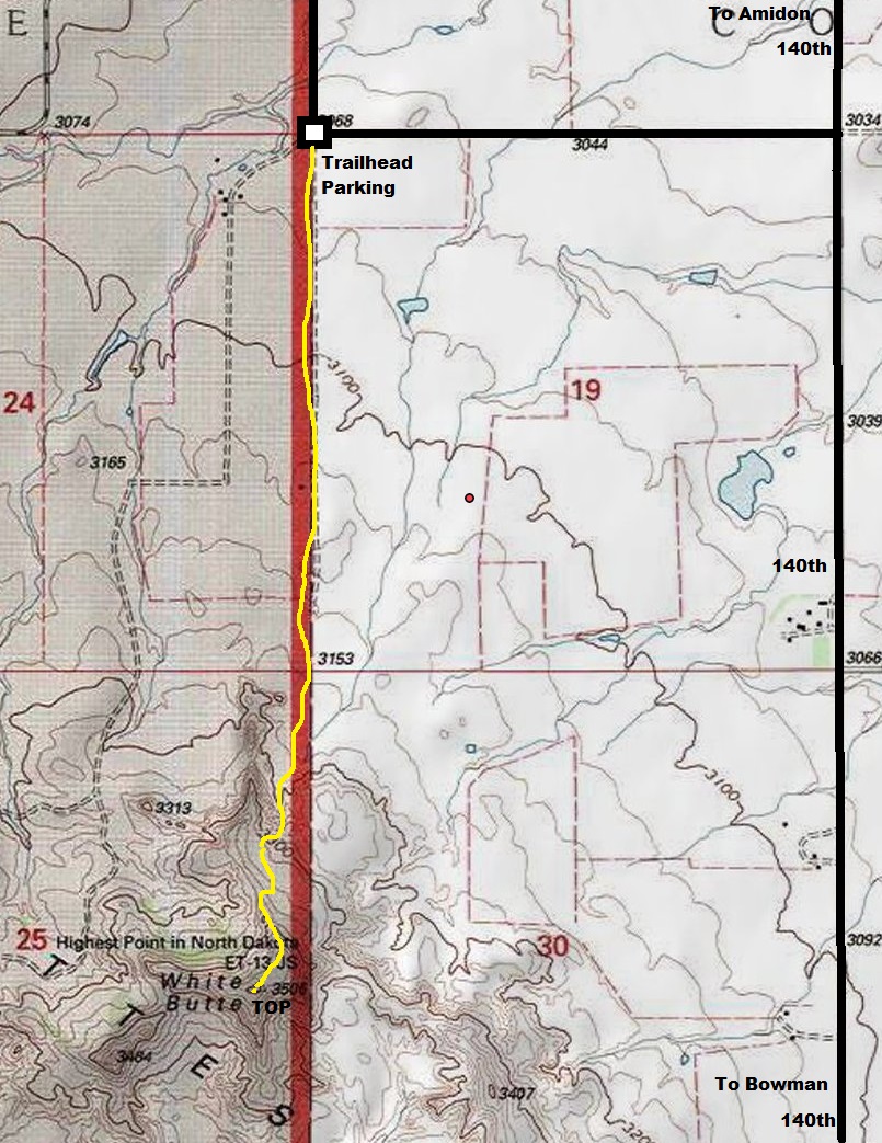
Trailhead parking one mile from old trailhead
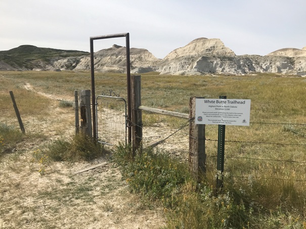
Trailhead at one mile at the end of the old road
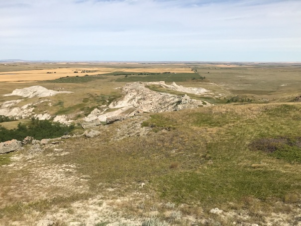
Part of White Butte but not the summit
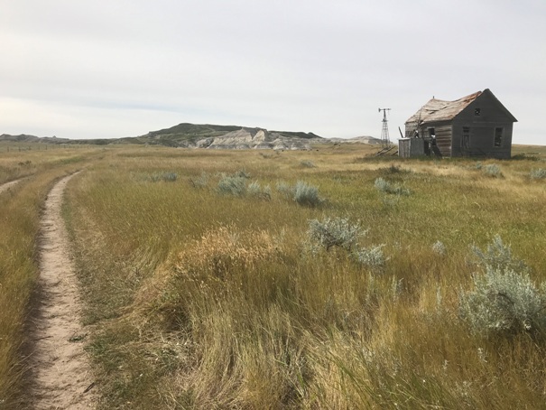
Walking the trail/road past an old homestead
Trail
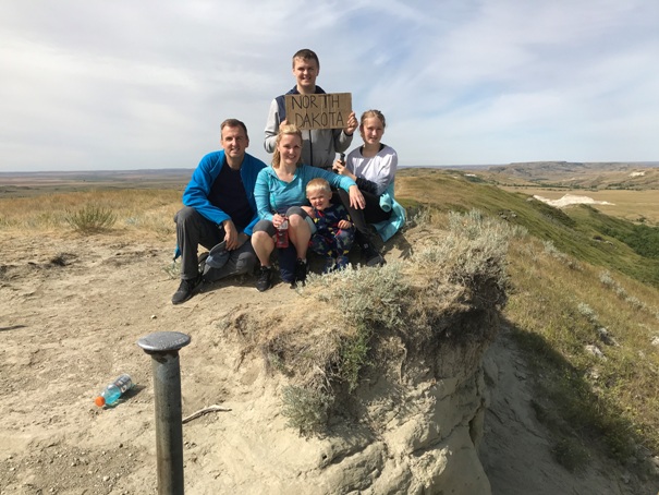
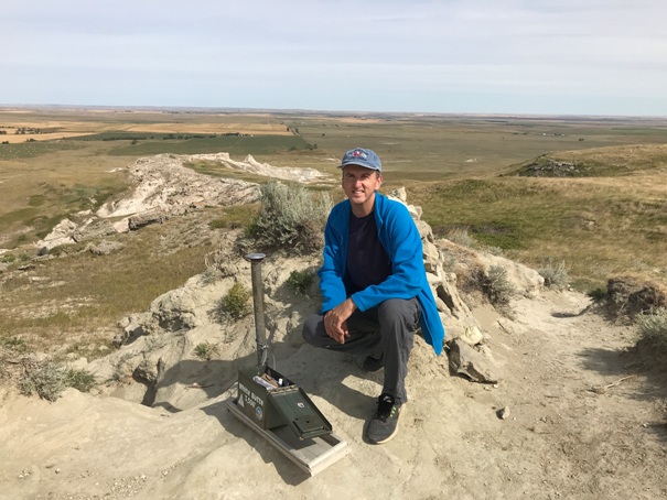
Arrival at the summit
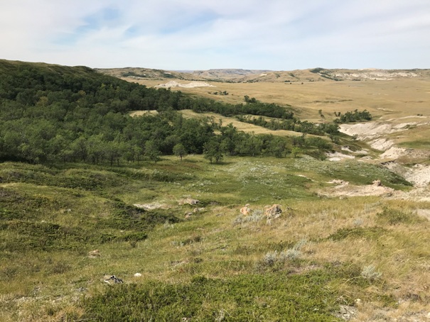
North side has some trees
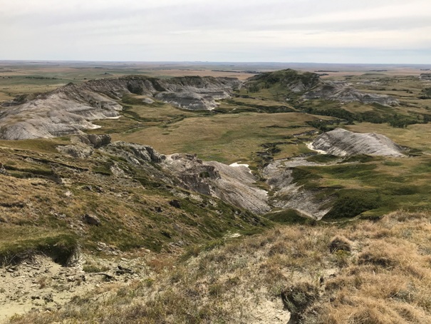
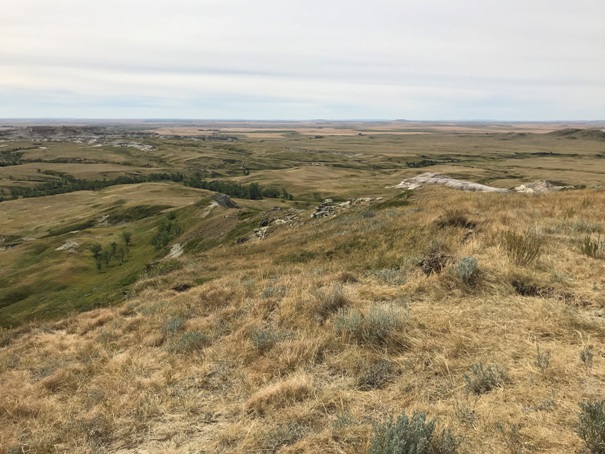
View North from the summit of White Butte
View East from the summit of White Butte
View South from the summit of White Butte
Summit benchmark and register
Family friendly hike
First state highpoint


