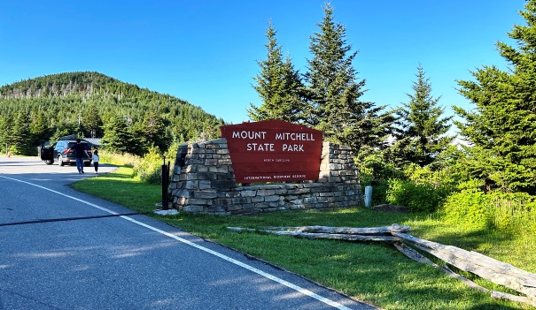
Mount Mitchell - North Carolina Highpoint
WillhiteWeb.com
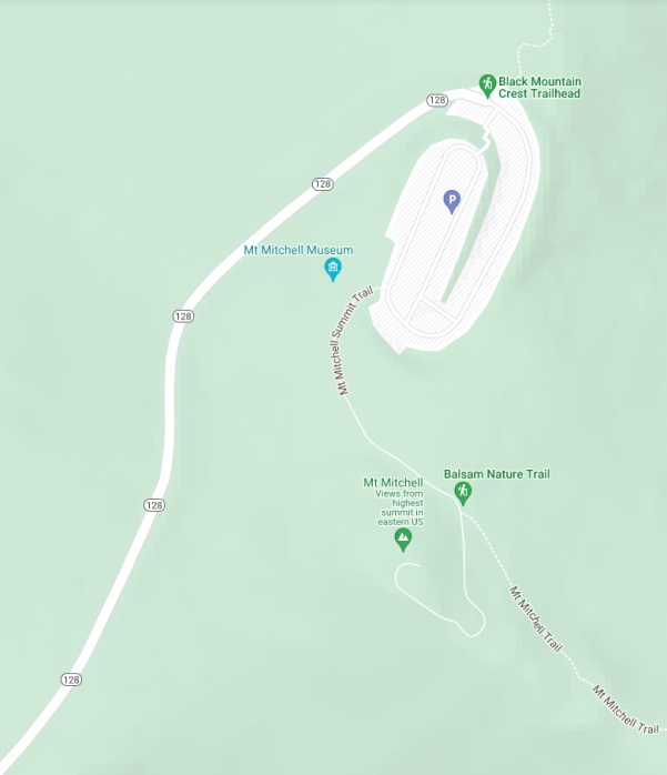
Mount Mitchell is the highest point in North Carolina and everything East of the Black Hills of South Dakota. It is the 16th highest state highpoint but one of the easiest thanks to a nice paved road almost to the summit. Being just off the Blue Ridge Parkway, any trip to this area is a fantastic vacation spot, but be aware of the weather, the road can be gated if conditions are icy. The mountain has a long interesting history.
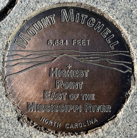
Summit Elevation: 6,684 feet
Prominence: 6,089 feet
Hiking Distance: 10 minutes
Elevation Gain: 100 feet
Access: Paved
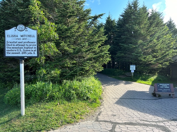
It was named for Elisha Mitchell who first determined the altitude and later lost his life exploring this mountain in 1857. At the time it was called Black Dome. He was hiking when he slipped and fell from a cliff near a 40-foot waterfall, hitting his head and drowning. The location of his death is known today as Mitchell Falls.
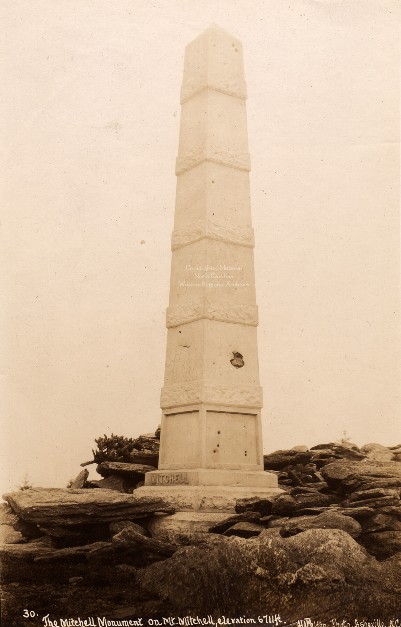
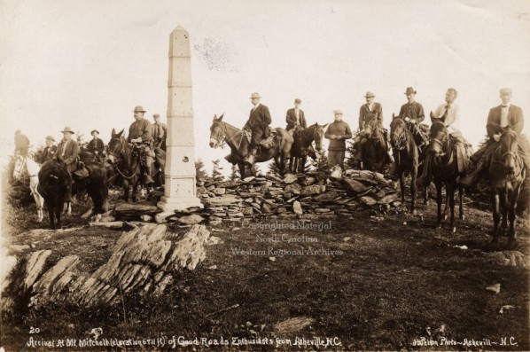
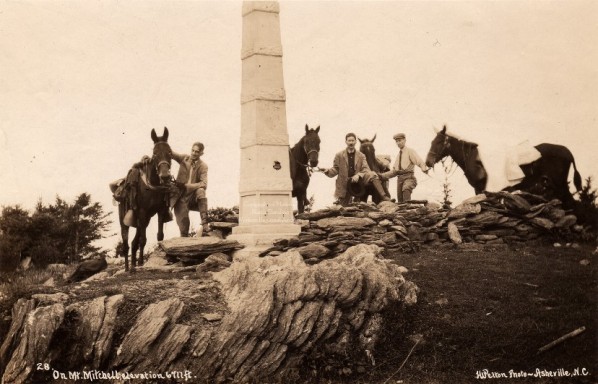
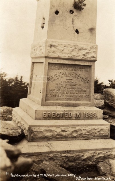
In 1888, a obelisk monument was erected on the summit, the grave for Elisha Mitchell.
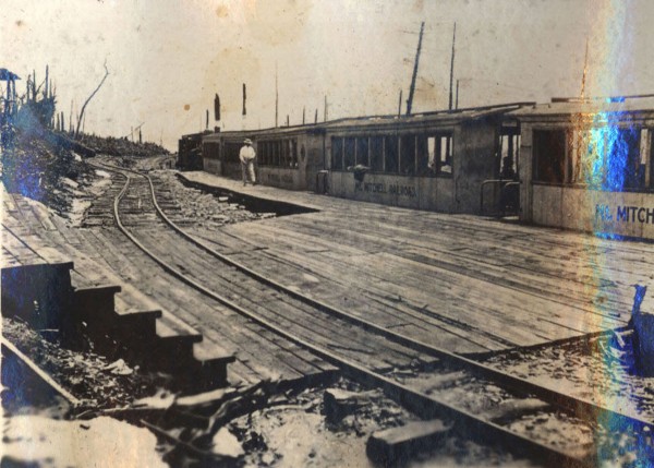
In the 1910s a logging railroad on Mt. Mitchell had evolved into use as a scenic line for tourists.
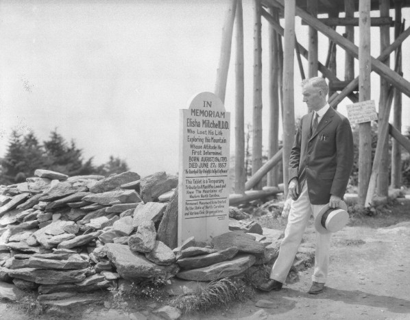
In 1915, the mountain became the first State Park of North Carolina. Also this year in January, a windstorm toppled the stone monument to Elisha Mitchell.
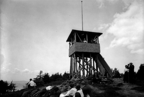
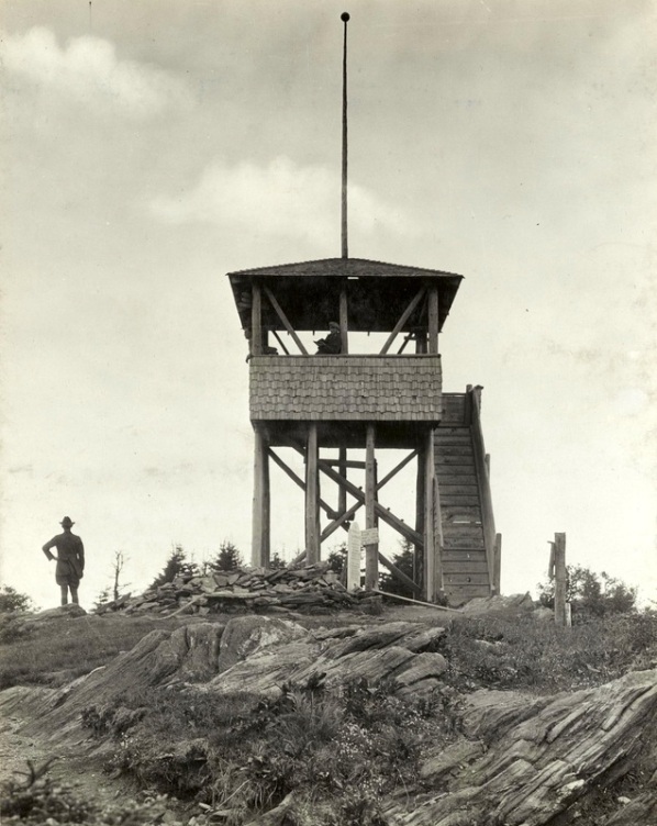
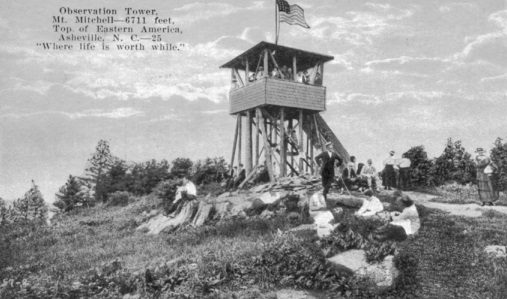
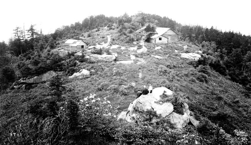
In 1916, a 16 foot wooden tower was built. During fire season, a watchman from the Forest Service observed and located fires. Just down the hill was a ground living cabin.
In 1921, the rail line was replaced by an automobile toll road.
In 1922, plans were being made for a hotel near the summit, a more permanent lookout tower and to continue the road from Camp Alice to the north summit flats (where it ends today). Plans were also made for a more roomy ground cabin shelter that could also hold campers and visitors during sudden storms. The current one was becoming decayed.
In 1925 during the winter, an almost finished 35 foot steel tower erected by the State Park blew down by high winds and was a twisted mass of steel girders. A heavy sleet storm coupled with defective construction caused its collapse. Because the tower was for fire protection, the cooperative forest protection fund had paid for its construction.
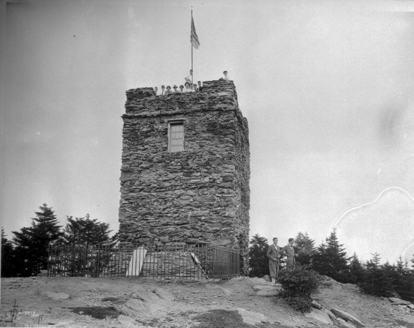
In 1927, through the generosity of Col. Charles J. Harris, of Hillsboro, gifted the cost of a rough stone tower to replace the steel structure. The new tower was about 35 feet high and served as both as an observation point for tourists and as an outlook for the detection and reporting of forest fires. It was used by both the Forest Service and the North Carolina Department of Conservation and Development. By 1959, it was considered unsafe and was torn down.
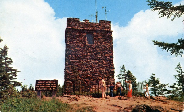
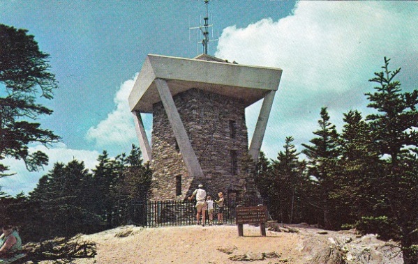
In 1960, a new stone tower was built. The architect designed the new stone tower to reflect the original but included a larger viewing platform.
In 2006, this second stone tower was removed.
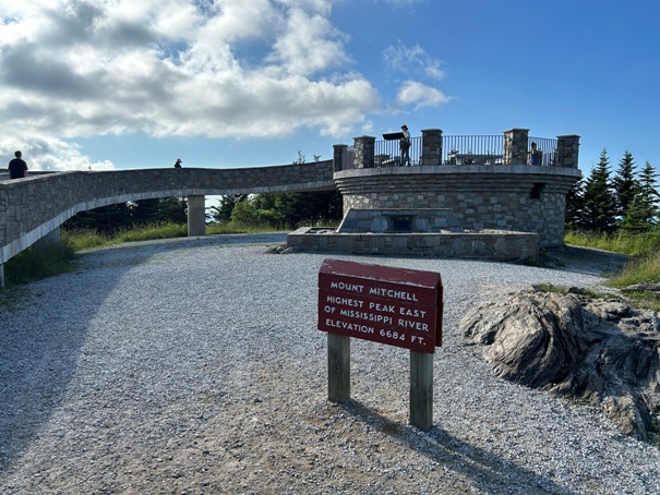
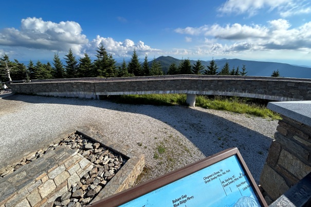
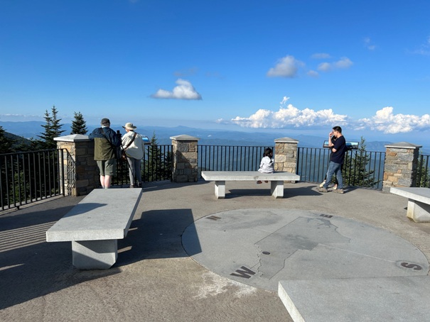
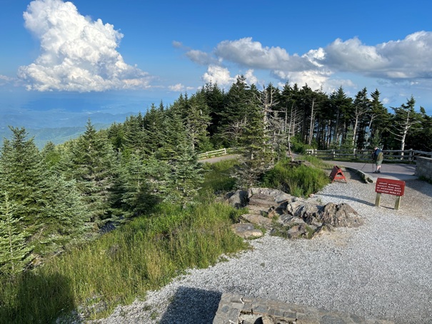
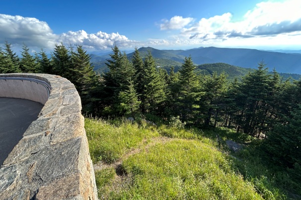
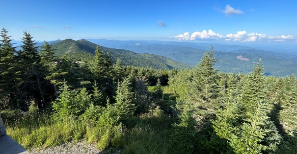
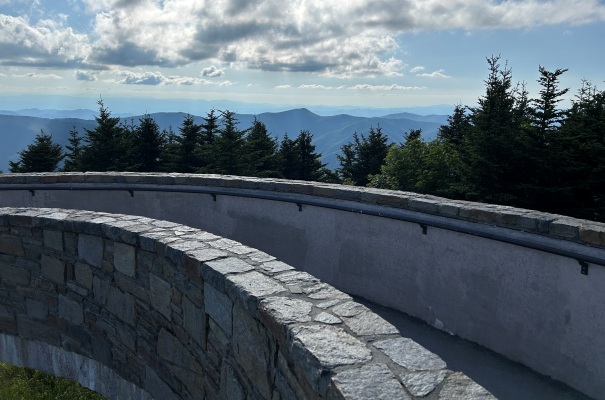
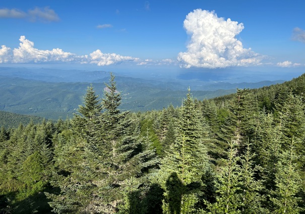
In 2009, the open platform lookout structure we see today was built to conform to ADA. It is only 10 feet above ground and trees are starting to block the view in some directions. It appears the lower viewpoint might also give Clingmans Dome in Tennessee the highest walkable point east of the Mississippi.
Lookout and Mountain History
State Park Entrance off the Blue Ridge Parkway
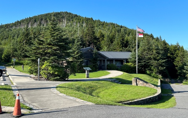
Ranger station and visitors center
Trailhead
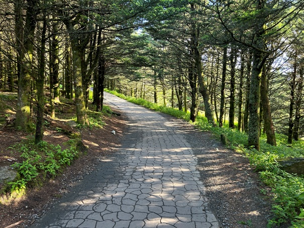
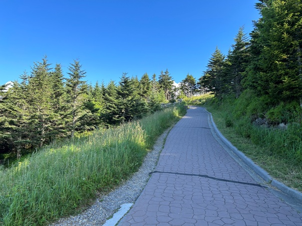
Trail to the top
Trail to the top
12 foot observation area
Viewing observation area
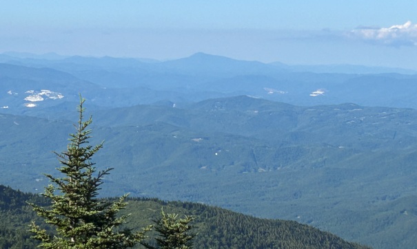
Grandfather Mountain in the distance
Tourist Benchmark
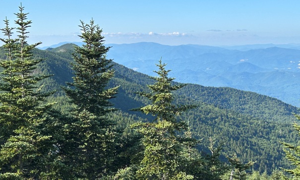
Views to the west
The 1888 obelisk monument that topppled in 1915
The 1910s scenic railroad converted from an old logging road.
The lookouts ground cabin was down the hill a bit and utilized a natural feature they called the Campers Cave.
The 1916 wooden tower is shown in these pictures. Temporary grave marker after obelisk toppled.
Mount Mitchell Postcard
1927 Stone Structure
1927 Stone Structure
1960 Stone Structure with larger viewing platform
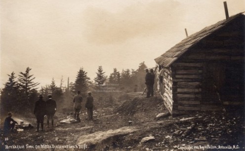
Early parties to the summit before the observation towers and lookouts
1923


