Hoye Crest - Maryland Highpoint
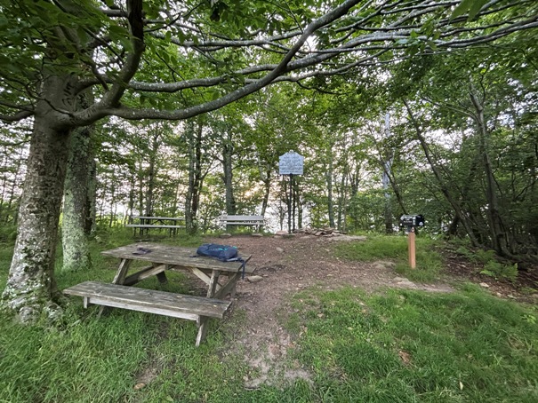
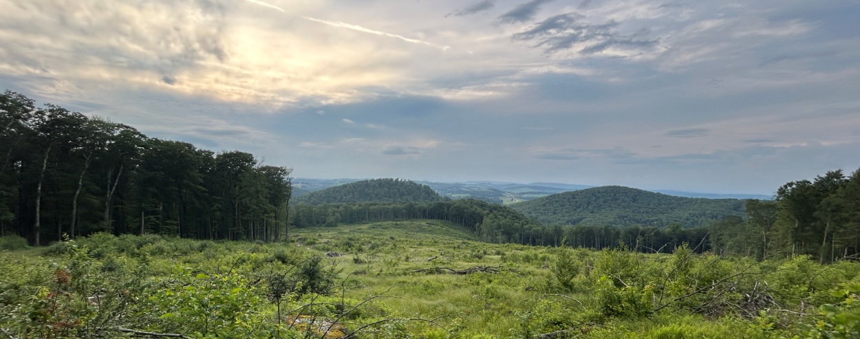
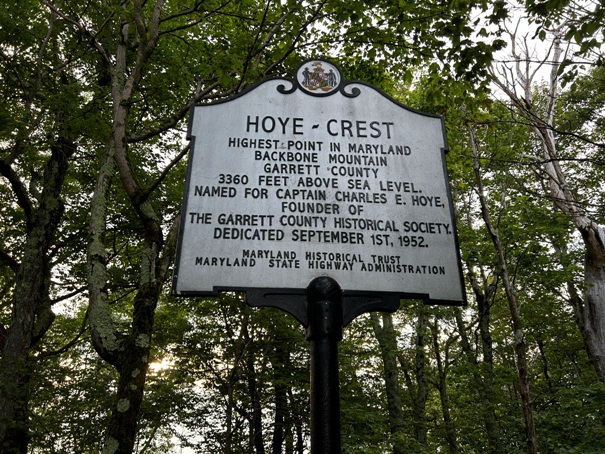
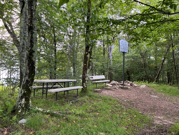
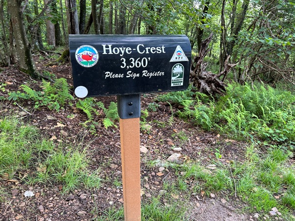
Hiking to the summit is a hike in West Virginia, and only the last few minutes are in Maryland. The monument on the summit is named Hoye Crest in honor of Captain Charles E. Hoye, founder of the Garrett County Historical Society. In 1952, the historical society brought the cast-metal marker up by jeep but needed a winch and steel cable to pull the heavy laden vehicle to within 300 feet of the summit. Today, much more is on top including a picnic tables, mail box and bench. One view has been opened up to the east.
Summit Elevation: 3,360 feet
Hiking Distance: One mile
Elevation Gain: 700 feet
Prominence: 80 feet
Access: Paved
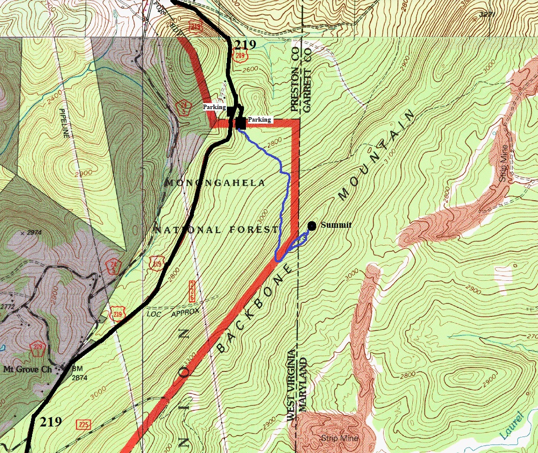
GPS should get you to the trailhead on Highway 219 where there is a sign and a large pull out area to park. You can also find a logging road that allows you to drive a short distance up the dirt road to a parking area for a few cars. If starting at the highway, a way trail cuts up to the road and old parking area.
Access
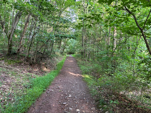
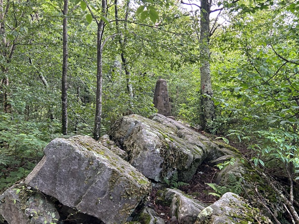
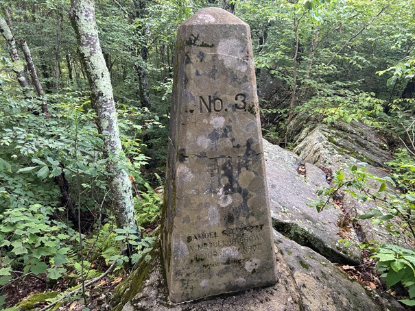
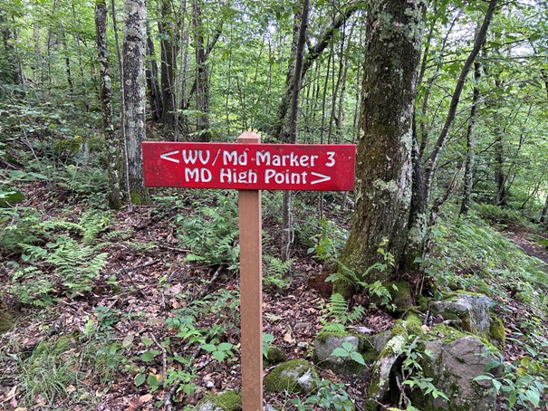
Just follow the old logging road and signed route to the summit. The lower section of road had a logging clear cut on the left side that opened a few views. The upper road is fully forested and steadly climbs to the ridge top. Now the trail follows the ridge with a split. Left goes up to a state line marker, right will get you
Route
WillhiteWeb.com
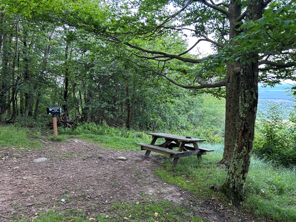
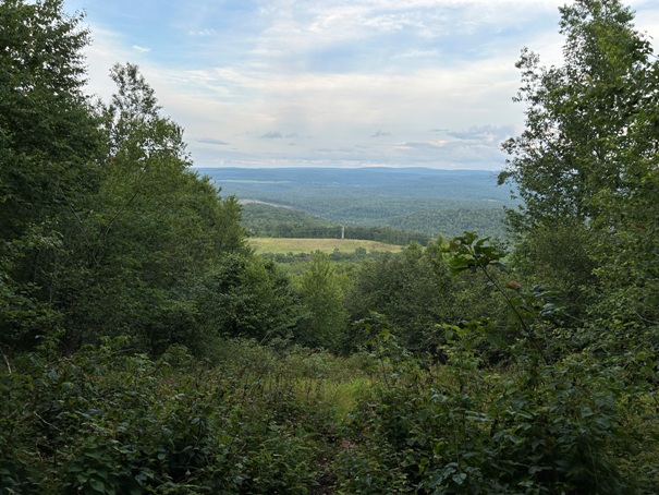
The one view from the summit
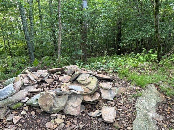
Summit cairn
The old jeep road now a trail
Trail sign near the start
Trail split near the summit
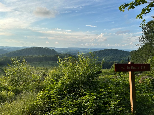
Sign marking the way at the top of a clearcut
Maryland West Virginia State Line marker
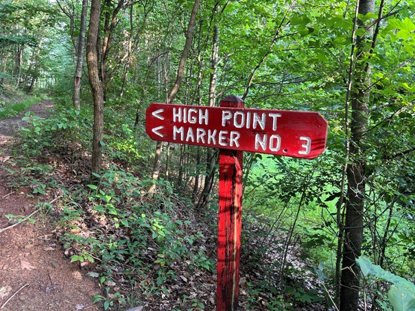
Maryland West Virginia State Line marker no 3
With a recent clearcut, the route up had some views (year 2023)
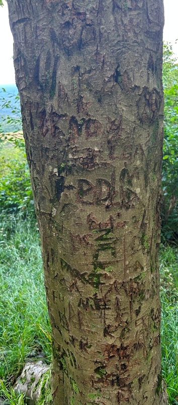
It seems this tree at the summit was the register for awhile.


