
WillhiteWeb.com
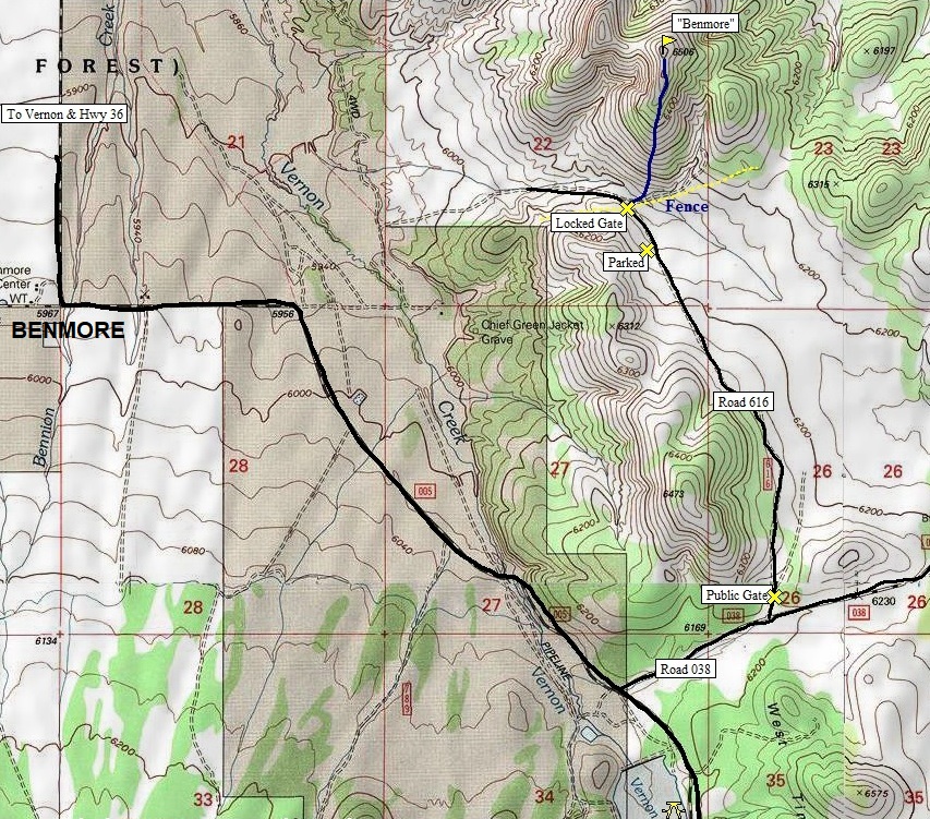
Distance: Under 1 mile
Elevation Gain: 400 feet
Summit Elevation: 6,506 feet
Access:
Route:
Benmore Peak
I was planning Benmore as a winter trip but after some slick mud up higher in the Sheeprocks, I decided to drop down and access something safer.
We chose to squeeze through the gate vs. jump the nice new barbwire fence. From that point, we just went up the hill to the top. No issues. Avoided some rocks with possible snakes by going to the right a bit. The summit is a long ridge, follow it north to the highest point.
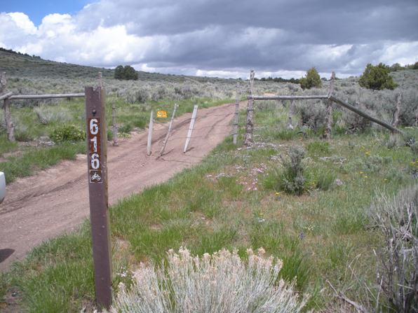
Just south of Vernon at the large bend on Highway 36, the signed Benmore Road goes due south for 5 miles to a T intersection. Go left toward the signed Vernon Reservoir. Follow the main road until just before the Reservoir. You will see a road to the left numbered 038. Follow it a short distance to another left on road 616. There may be a gate with a sign saying close gate. Proceed up road 616 to the base of Benmore Peak. At this same point is a private locked gate so park anywhere before it.
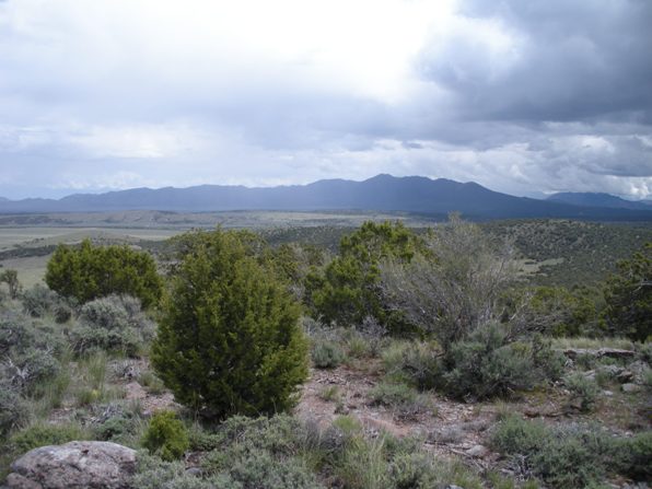
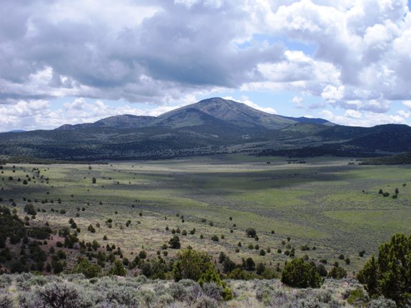
Sabie Mountain from the slopes of Benmore Peak.
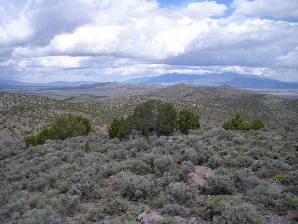
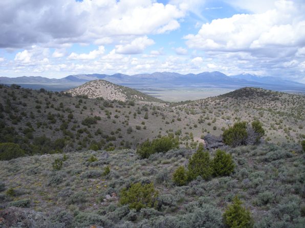
Looking NW to the Onaqui Mountains
Oquirrh Mountains
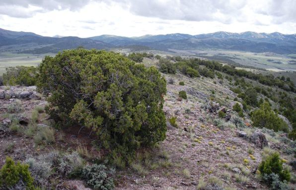
East Tintic Mountains
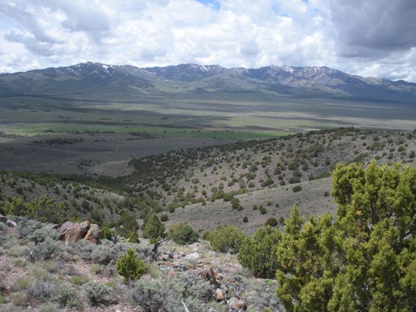
Sheeprock Mountains
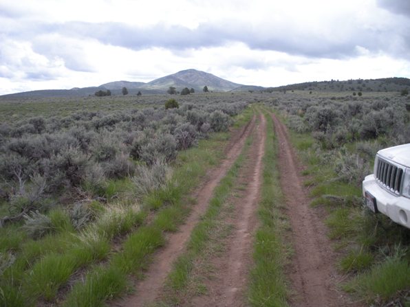
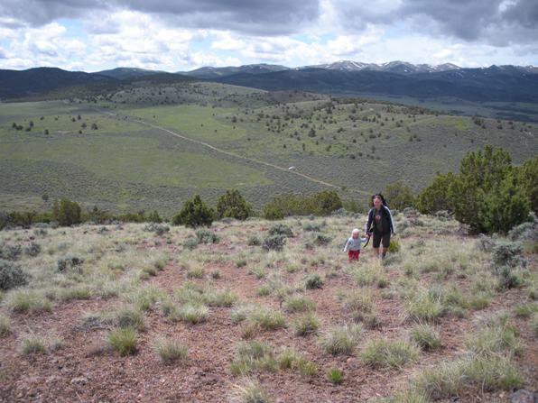
Hiking up Benmore with our car and the Sheeprock Mountains in the distance.
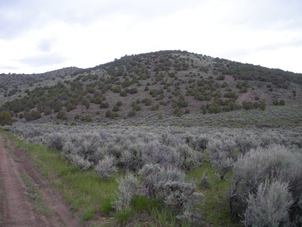
Benmore from the road
Road 616 gate and road
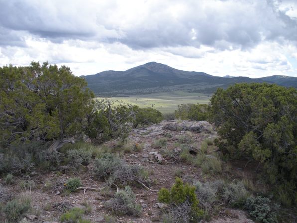
Sabie Mountain


