Whistle Lake � Anacortes
Hiking distance: 2/3 mile to the lake, 2.5 miles to circle the lake.
Elevation Gain: None to the lake, some as you go around the lake
Access: Any car
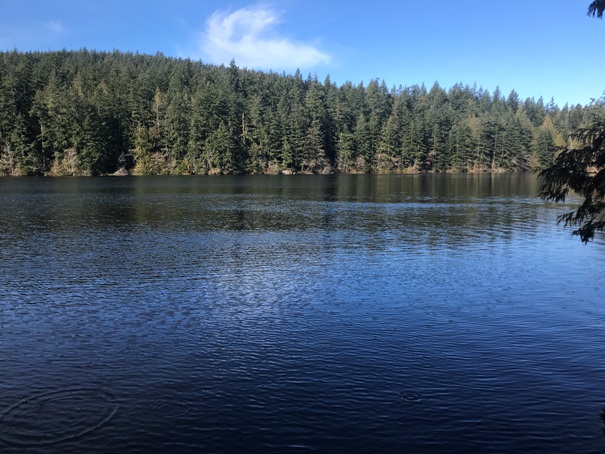
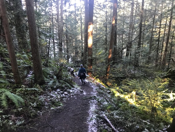
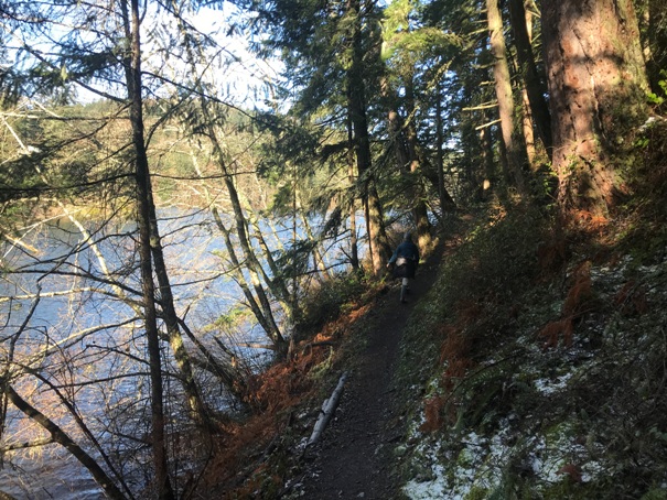
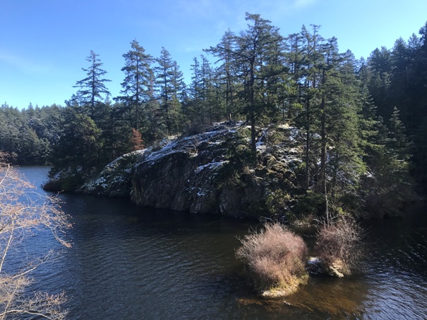
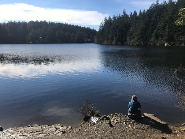
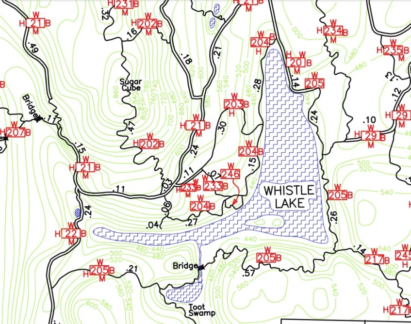
If you enjoy hiking to lakes, this one can be done any time of year and has the feel of a much more remote setting. The lake sits in the former city watershed, so it was protected for decades. With its cliffy shorelines and clean looking water, in summer, you might even see kids jumping off cliffs into the lake. The trail that circles the lake is 2.5 miles but is not flat; it goes up and down over several rocky knobs. Most of the views are on the west side trail. Trails spur off the lake in all directions, so you could spend all day hiking here, visiting places with names like Sugarloaf, Mt. Erie and Sugar Cube.
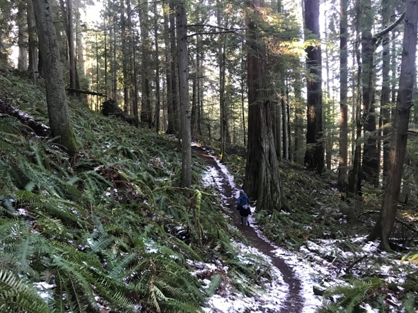
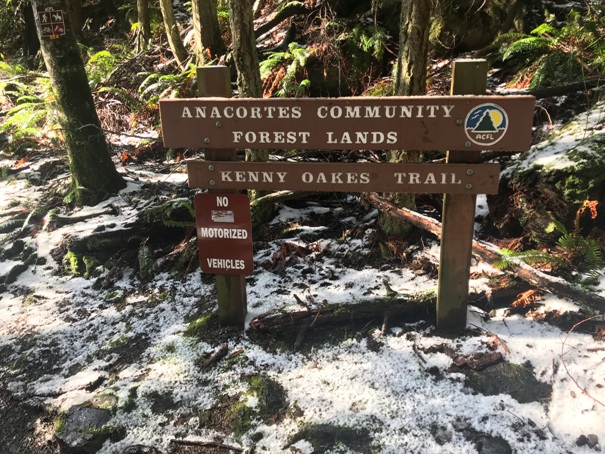
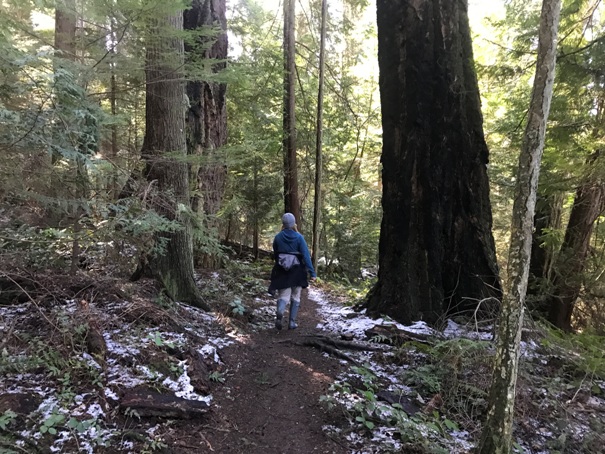
You can reach the lake by numerous points in the Anacortes Community Forest but the fastest and easiest way to the lake is from the north at the Whistle Lake Parking Area.
Trailhead Access:
WillhiteWeb.com
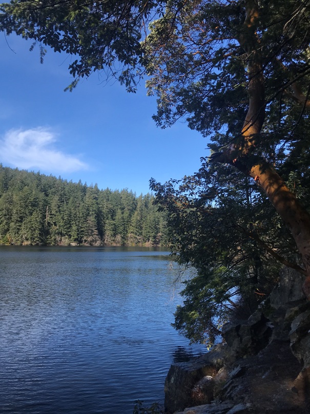
On the east shoreline with Madrona trees
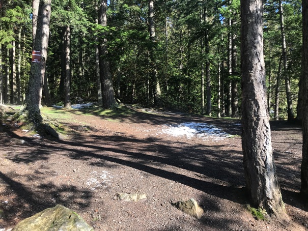
Big open area at the north end of the lake
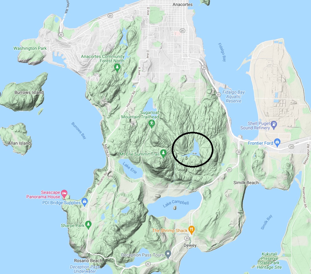
Location of Whistle Lake on the map
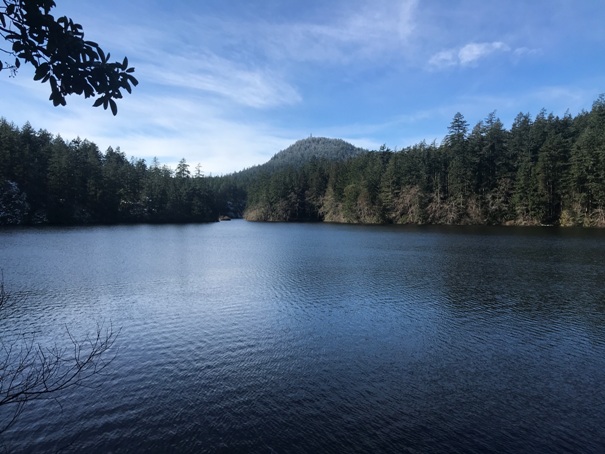
On the east shoreline with a view west to Mt. Erie
At the north end of the lake
The old road that went to the lake at the north end
On the west shoreline looking at the island at the south end of the lake
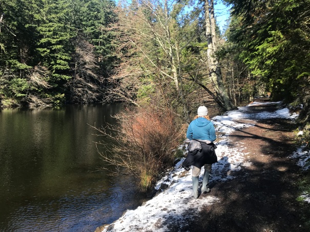
On the east shoreline
On the east shoreline looking across the lake


