Billy Goat Trailhead Access
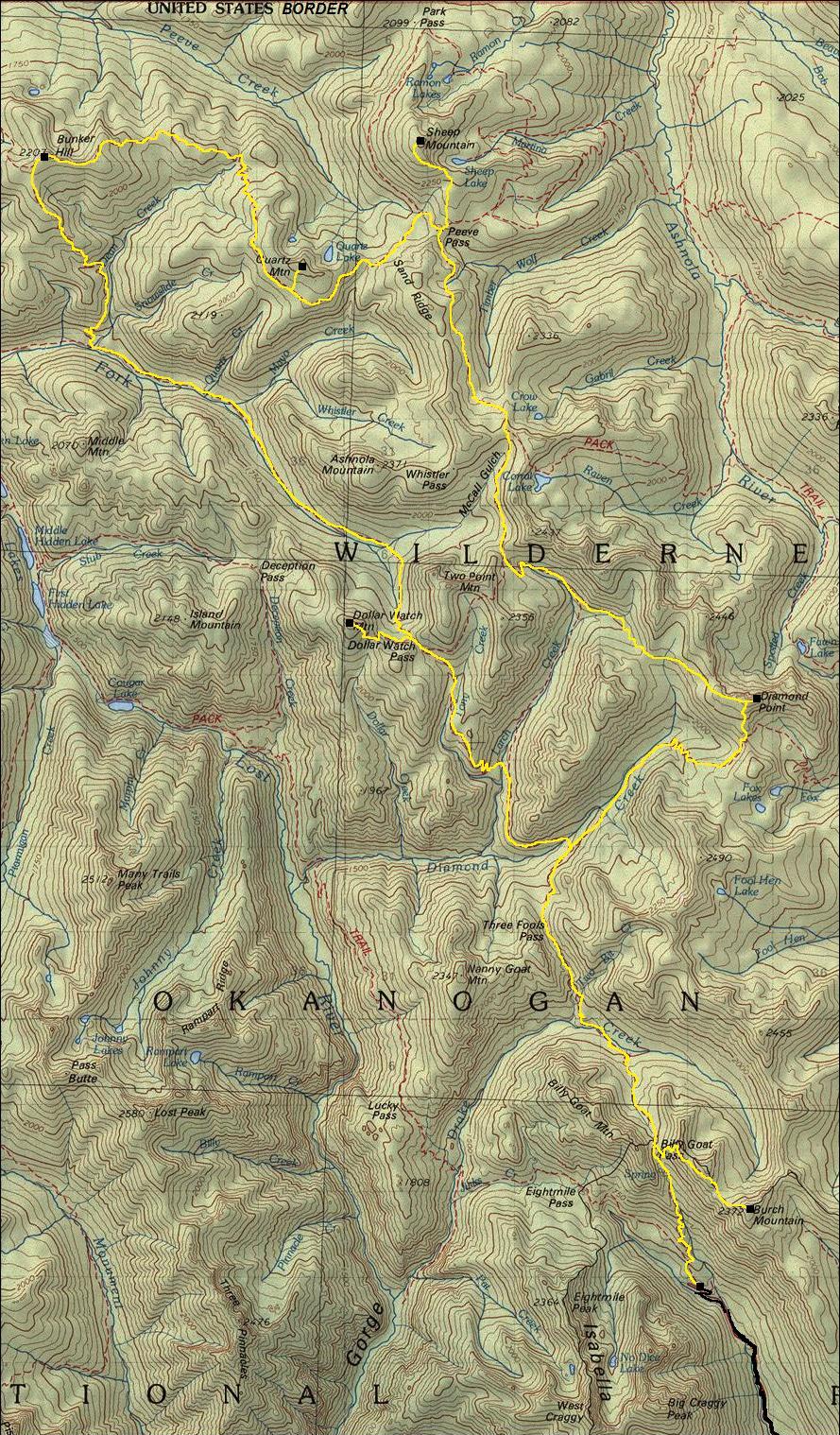
This central portion of the Pasayten Wilderness is best accessed via the Billy Goat Trailhead. Any car should be fine to reach the end of the road where there is parking first for horse trailers, then a mile further for passenger cars. If you are planning a trip here, you can find solitude. My visit was 3 days covering over 61 miles. I only saw 2 groups of 2 people in one hour, the remaining trip I saw nobody...mid-week in August. Be aware that many trails are so little used that meadows have grown over the trail or brush is hiding the trail. Also, fire has damaged several trails in the area, making them almost non-existent. In one section of closed trail from a fire, I had to cross or get around hundreds of downed trees, so check with the Methow Ranger Station. Established camps were found at nearly every major creek crossing. The most popular places for camping are at the small lakes like Sheep, Quartz, Crow and Corral. Small creeks for filtering can be found just about every mile. Links on the right are trip reports for specific hiking and climbing objectives in this area.
Pasayten Wilderness
Access:
From Highway 20 just west of Winthrop, take the West Chewuch River Road north. Follow for 9 miles to a left on Eightmile creek road and turn left. Follow Eightmile Creek Road for 15 miles to the end at Billy Goat Trailhead. Any car should be fine.
Trail south from Bunker Hill down to East Fork Pasayten is covered with burned trees and overgrowing with new trees (do not take).
East Fork Pasayten Trail is very bad between Bunker Hill Trail and Mayo Creek (2016), call ranger to see if it has been cleared.
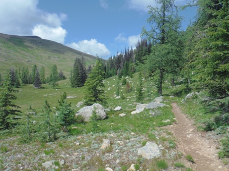
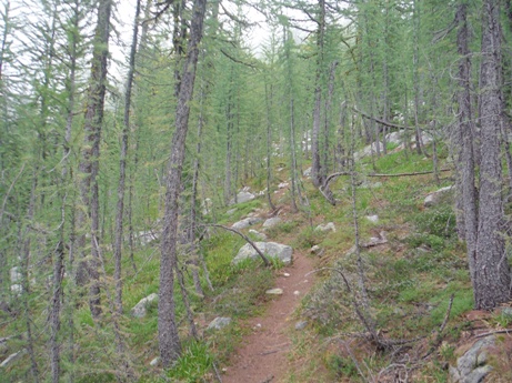
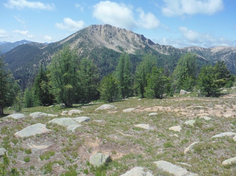
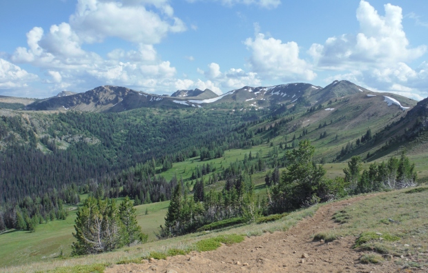
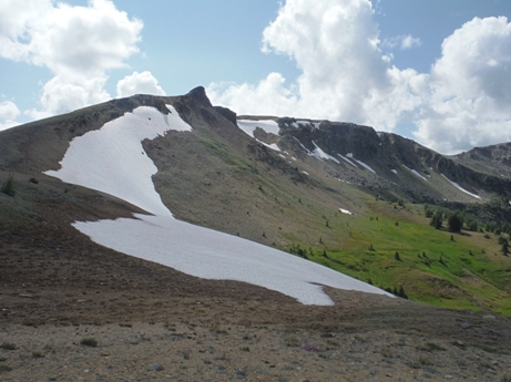
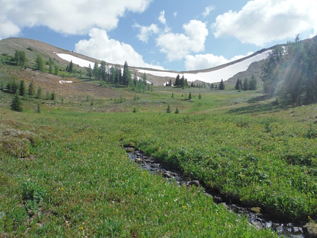
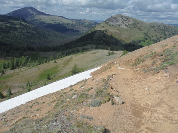
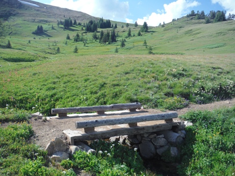
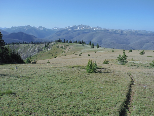
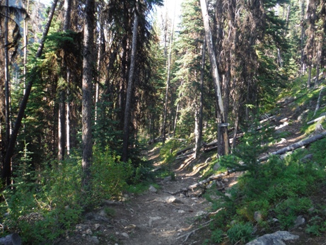
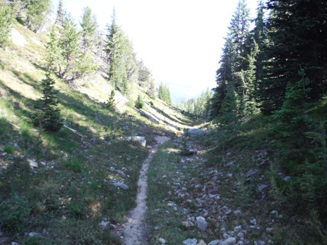
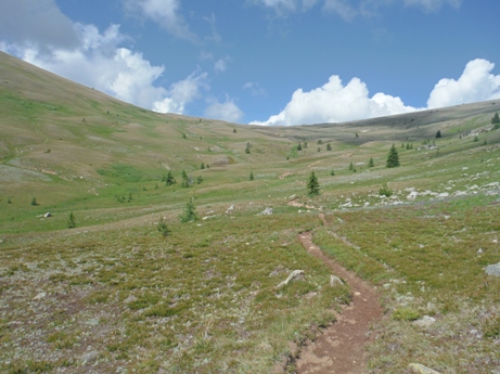
Trail from Diamond Point to Larch Creek is abandoned but easy to follow in most places.
MAP INFO
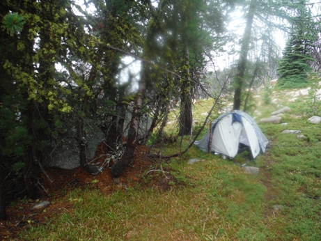
Waiting out an August rainstorm just below Diamond Point
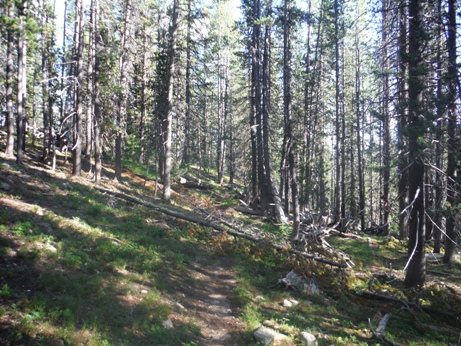
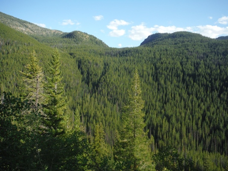
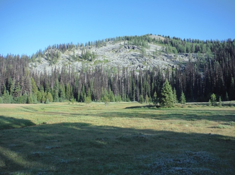
Lots of forested walking to get to the good stuff
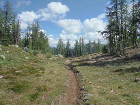
On abandoned trail west of Diamond Point
Larch Pass
Larch Pass
Entering McCall Gulch
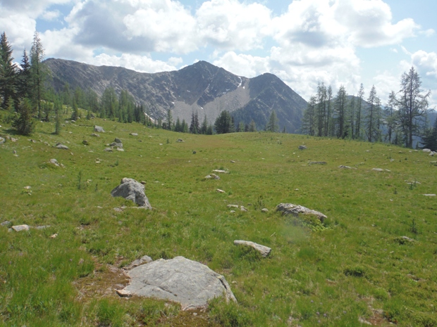
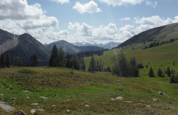
Upper McCall Gulch meadows
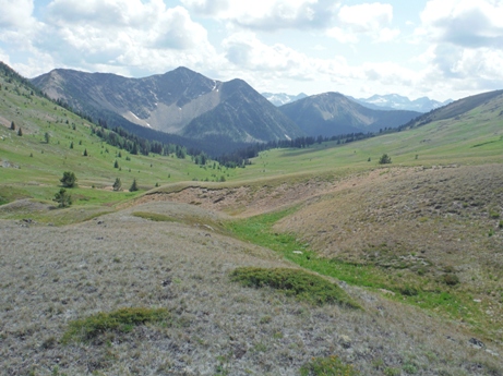
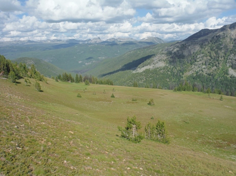
Looking down McCall Gulch
Sand Ridge from the high pass
McCall Gulch area
McCall Gulch area
Sand Ridge near Peeve Pass
Basin west of Peeve Pass
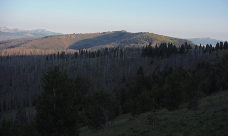
Bunker Hill from Quartz Mountain area
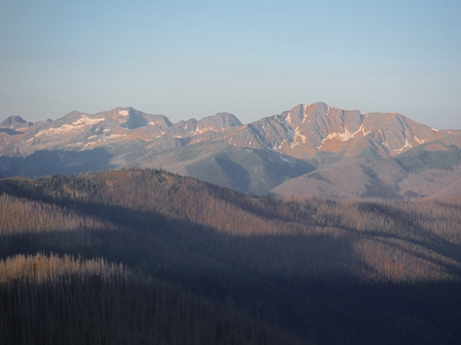
Osceola, Carru, Lago
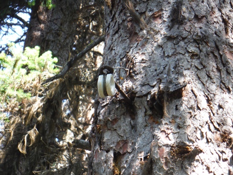
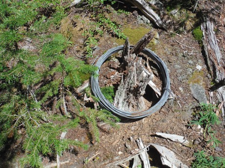
East Fork Pasayten telephone line
East Fork Pasayten telephone line (several of these on the ground)
Dollar Watch Mountain sign a half mile below the summit
The long walk back
Dollar Watch Pass
Trail down Bunker Hill
North side of the Sand Ridge Basin
Meadows below Sand Ridge
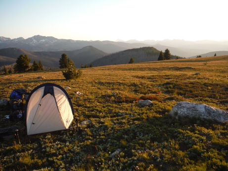
Camping near Quartz Mountain
Dropping down Sand Ridge high pass - Sheep Mountain in the far distance
Looking NE from near Peeve Pass
Three Fools Pass from the north
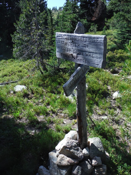
Diamond Creek trail fork just north of Three Fools Pass


