
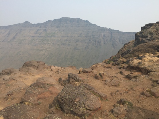
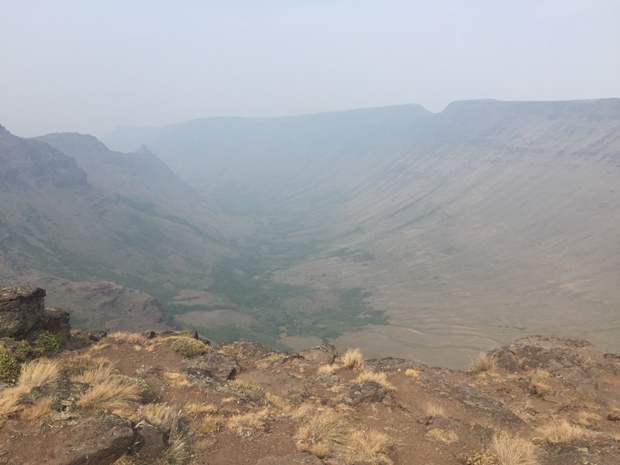
Steens Mountain is an extraordinary landscape with a rising slope on one side and deep glacier carved gorges on the other. This amazingly high mountain is essentially a drive to the top. The final quarter mile is gated but you are free to park and walk to the summit. Steens is a tourist peak, you will find people enjoying the sights from all across the country. The 52-mile Steens Mountain Backcountry Byway can be driven by any car and provides access to four campgrounds and the views from Kiger Gorge, East Rim, Big Indian Gorge, Wildhorse and Little Blitzen Gorge overlooks. Steens nine thousand foot crest runs for miles and seems far out of place for Oregon. The summit has 4,373 feet of prominence and is the highpoint of Harney County. The nearest higher peak is Eagle Peak, a distant 125 miles away to the west in California. Steens is also the highest you can drive in Oregon.
Elevation: 9,733 feet
Hiking Distance: Half mile
Elevation Gain: 300 feet
Prominence: 4,373 feet
Access: Good Gravel Road
Oregon Travel
Steens Mountain Scenic Drive & Highpoint

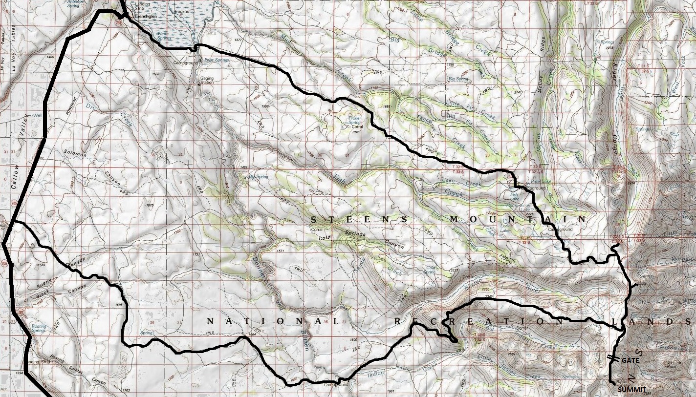
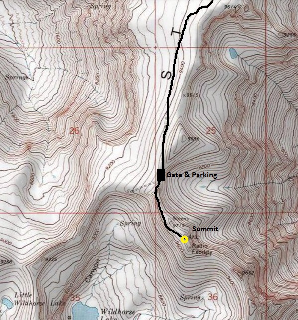
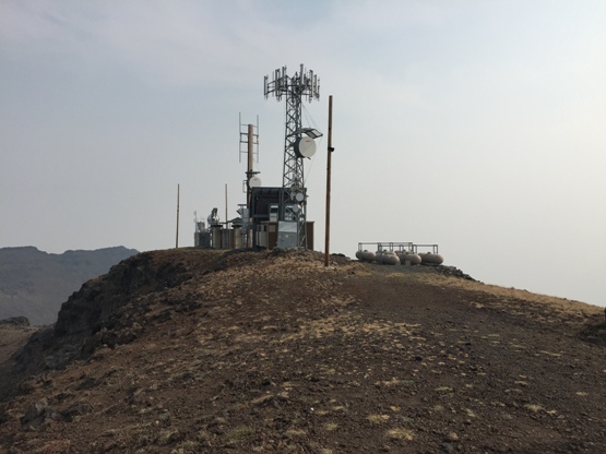
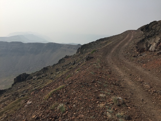
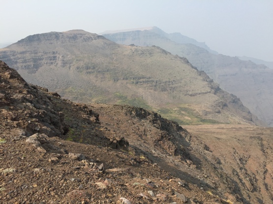
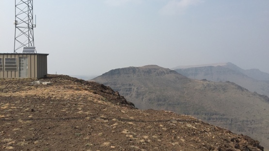
Showing route from gate to the summit
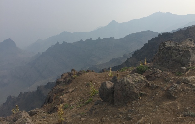
On the summit looking north
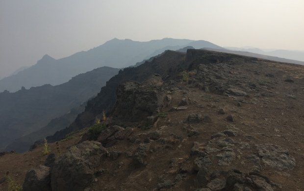
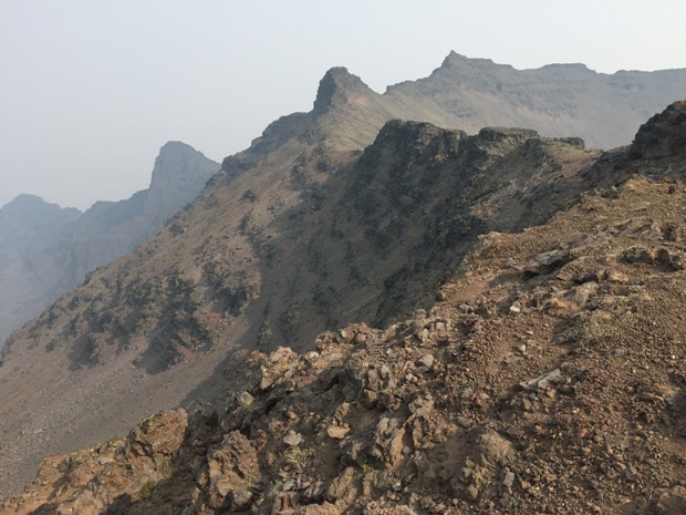
Looking north along the crest
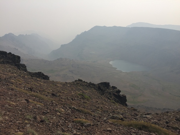
Wildhorse Lake
Communication towers on the summit
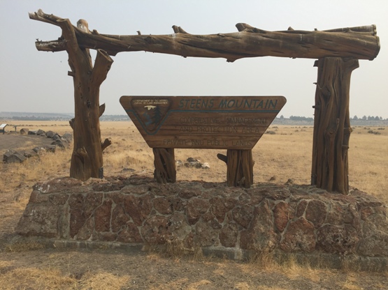
Big signs at both entrances to the scenic drive
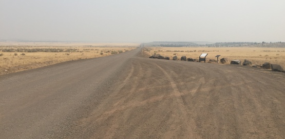
The start of the scenic drive
Bad smoke from wildfires in the Cascades in 2018
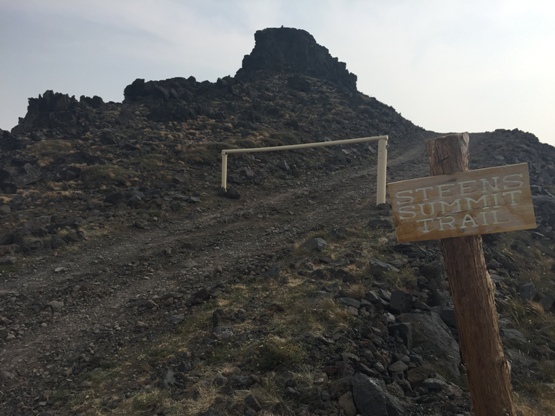
Gate and sign for the Steens Summit Trail, the utilities access road
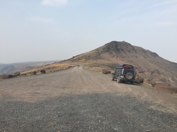
Parking for the Steens Summit Trail
Summit road walk


