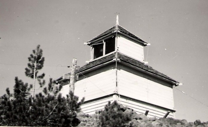
Known for excellent views, Maiden Peak is the 29th most prominent mountain in Oregon. The shield volcano is on the Cascade crest, with the PCT running along its side and the summit the site of a former fire lookout.
Elevation: 7,818 feet
Hiking Distance: 5.5 miles
Elevation Gain: 2,880 feet
Prominence 2,578 feet
Access: Very good gravel road
Oregon Fire Lookouts
Maiden Peak
Lookout History
In 1908 the summit had a camp used for observation. (Honeymoon on Horseback, Margie Knowles). In 1912, the forest service reported the completion of a telephone line from Crescent to the summit of Maiden Peak. Ed Mahn was the lookout in 1912 and in 1921. Charles G. Bowers was the lookout in 1913 and 1914. In 1923, a cupola was constructed by the lookout Jim Gauldon of Bend at the approximate cost of $650.
In 1924, a newspaper joked that a man was the lookout on Maiden Peak and a women was the lookout on Bachelor Butte. The two lookouts communicated to each other by use of the heliograph, E.T. Valliant on Maiden Peak and Leslie D. Lloyd on Bachelor Butte, although both had phone lines into Bend. Valliant believed he found at the summit two species of flowers never classified by a botanist. After his observations in 1925, in Bend his supervisor was asking him questions. One in particular "I volunteered a truck load of information, principally in the nature of the several bunches of electricity that playfully cavorted along the summit. One thing in particular that seemed to amuse him (not me, you understand) was the wood range took. You see, I have not a thing against wood ranges. They beat the gasoline of kerosene variety all hollow, except when the lightning was close aboard our craft, then twas different; for instance, my assistant, friend wife, walked across to the west windows one day to help me locate strikes. She happened to kick a dishpan resting quietly on the floor about one inch from the stove leg. When the pan hit the leg pssst and the kicker got kicked. Yes sir, the old range was plumb charged. Also, a sauce pan of a fine lot of chocolate was cooking on said range, and believe me, it kept right on cooking until the storm passed on, as neither of us could take it off. We know, because we tried and got a nice juicy shot in the arm for our experiment. I phoned over to Paul on Walker Mountain and told him all about it and all the sympathy I got from that old leather-neck was a giggle. He said, "Hang on, old timer. No use to run from it, its too damn fast." So we hung on and live to enjoy the memory of our job on Maiden Peak.
In 1926 the lookout reported 4 false alarms during the fire season. On September 6th of 1927, the lookout Fred McNeil reported a half foot of snow mantled the top of the volcanic cone, and extending low into the timber belt. In 1928, Thomas R. Roe, principal of the Metolius School in Jefferson County had the lookout duties, although he may have been relieved for a period by Ward W. Stran.
In June of 1928, the lookout Thomas R. Roe got married to Cecelia McCorkle and after a short honeymoon they planned to spend the summer on Maiden Peak, although it appears they might have got transferred over to Black Crater. This was because of the following:
June 22, 1928: "Devises designed to protect against lightning and developed by two electrical engineers from the school of engineering at O. A. C. will be tried out in the Deschutes national forest this year. O. F. McMillan and E. L. Starr, experts in high-tension electricity, designed the device which they will try on Maiden Peak in cooperation with T. T. Munger, director of the forest service experiment station. Maiden Peak was selected as the base of operations for the experiments because a map prepared by the local forest service covering a 10-year period indicates it is the center of the lightning fire belt of the forest. Types of protection which Starr and McMillan have developed include protection for lookout cabins and telephone lines. Equipment for measuring the effectiveness of the protection has been developed, according to information received by the local forest service. The men desire to try it out in the field and will take the place of lookouts on Maiden Peak while there. One man will be able to act as lookout while the other experiments and is free to visit other points in the forest after electrical storms. Possibility that the project being undertaken in the Deschutes forest may be taken up by the forest service in a national way is indicated by Munger's report of an interview with H. S. Rogers, dean of the school of engineering at O. A. C. Lightning protection is of interest to the entire western district, he states. Starr and McMillan will take the place of Thomas Roe as lookout. Roe will be stationed at Black Crater." (The Bend Bulletin)
In 1929, W. C. Howard, who had been the principal of the LaPine school for the past five years accepted the position of fire guard on Maiden Peak for the summer. On the night of July 30th, Maiden Peak was the center of a fierce electrical display. So many bolts of lightning struck into this part of the forest that the fire chart in the local forest office was a mass of thumb tacks, each bearing the number of a fire. On the board, tacks were piled on top of each other, indicating how closely the fires are located. This morning, eight of the 23 fires charted had been controlled and crews were on the others."
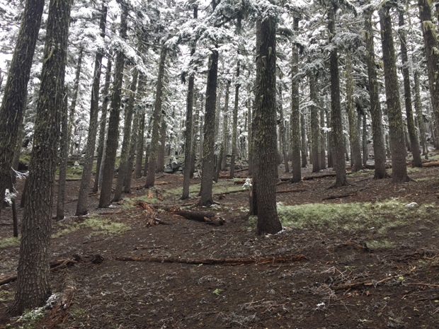
In September of 1930 the Maiden Peak lookout was W. J. Allen and the Bend Bulletin reported he had been moved to the lower slopes of the southern mountain, below the storm clouds." Later that month, the peak received snow which was six inches deep in places, with considerable drifting reported. W. Allen was taken down from his chilly station they said.
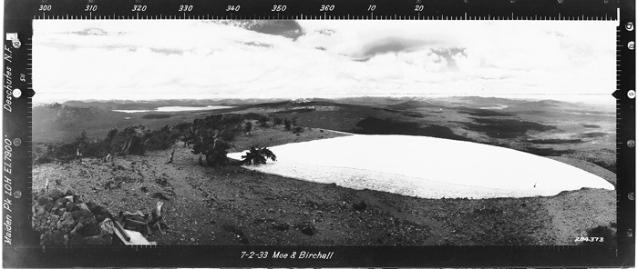
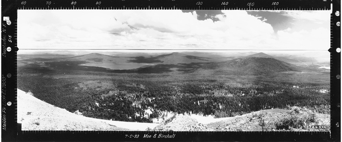
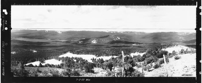
On July 2, 1933, the historic Osborne panorama photos were taken.
In 1942, James Stearns was the last person to staff this lookout in this last year of use.
In the fall of 1955, District Ranger Tom Greathouse and Ray Koski burned the lookout house down.
Access
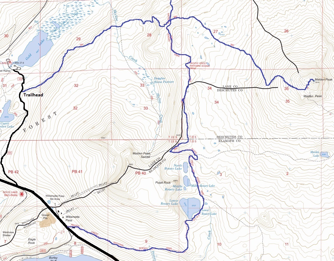
As you near Willamette Pass from the west, a sign will point to Gold Lake on the left. Follow this dirt road for around 2 miles to a small parking area and trailhead on the side of the road. If you reach Gold Lake, just go back and keep a better eye out. Others hike the PCT from Willamette Pass.
Route
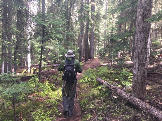
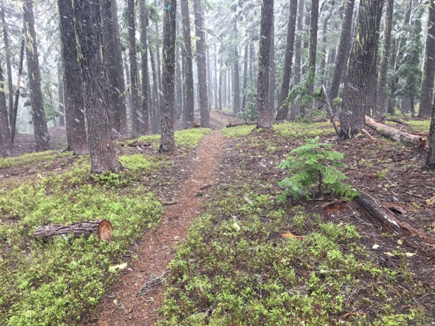
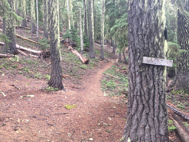
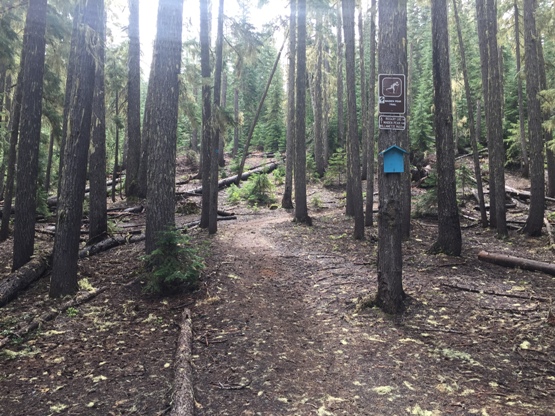
The forested trail climbs up 2.7 miles to the PCT. Cross over the PCT and now on the Maiden Peak Trail, start really going up and follow until you are on the summit. Because of winter travelers, there are blue diamonds on trees along much of the route.

Maiden Peak in 1942
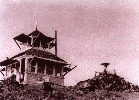
Maiden Peak in 1926
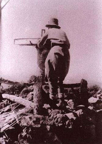
1920 Firefinder
Looking North July 2, 1933
Looking Southeast July 2, 1933
Looking Southwest July 2, 1933
Trailhead
Hiking Maiden Peak
Pacific Crest Trail crossing
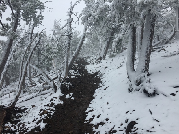
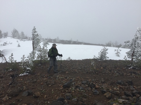
Trail with snow
Snowing
Reaching snowline
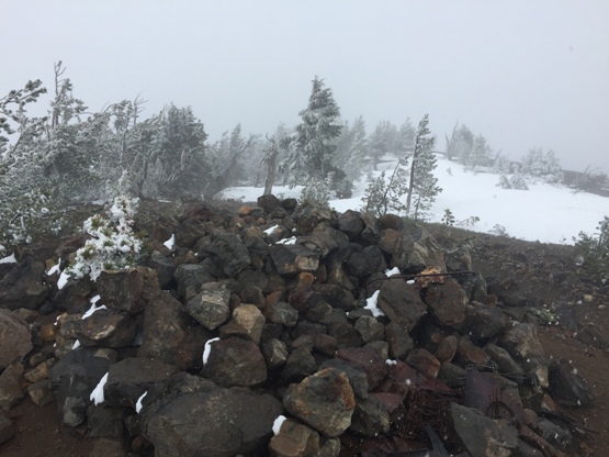
Metal parts of lookout remain
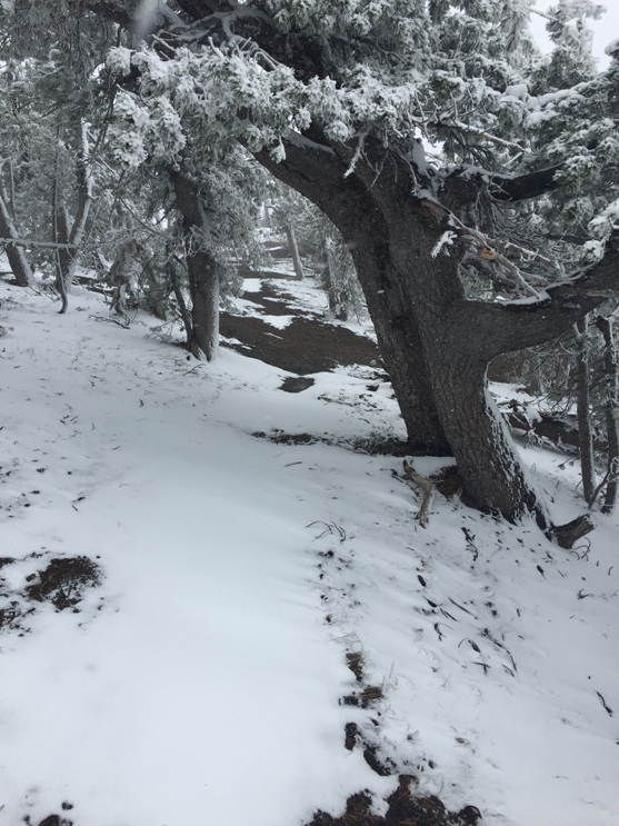
Maiden Peak trail near summit
Lookout Site
Summit arrival
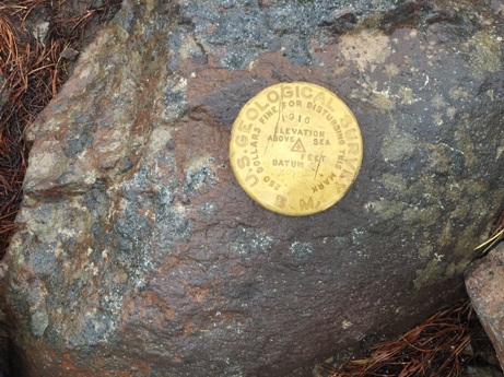
Maiden Peak Benchmark


