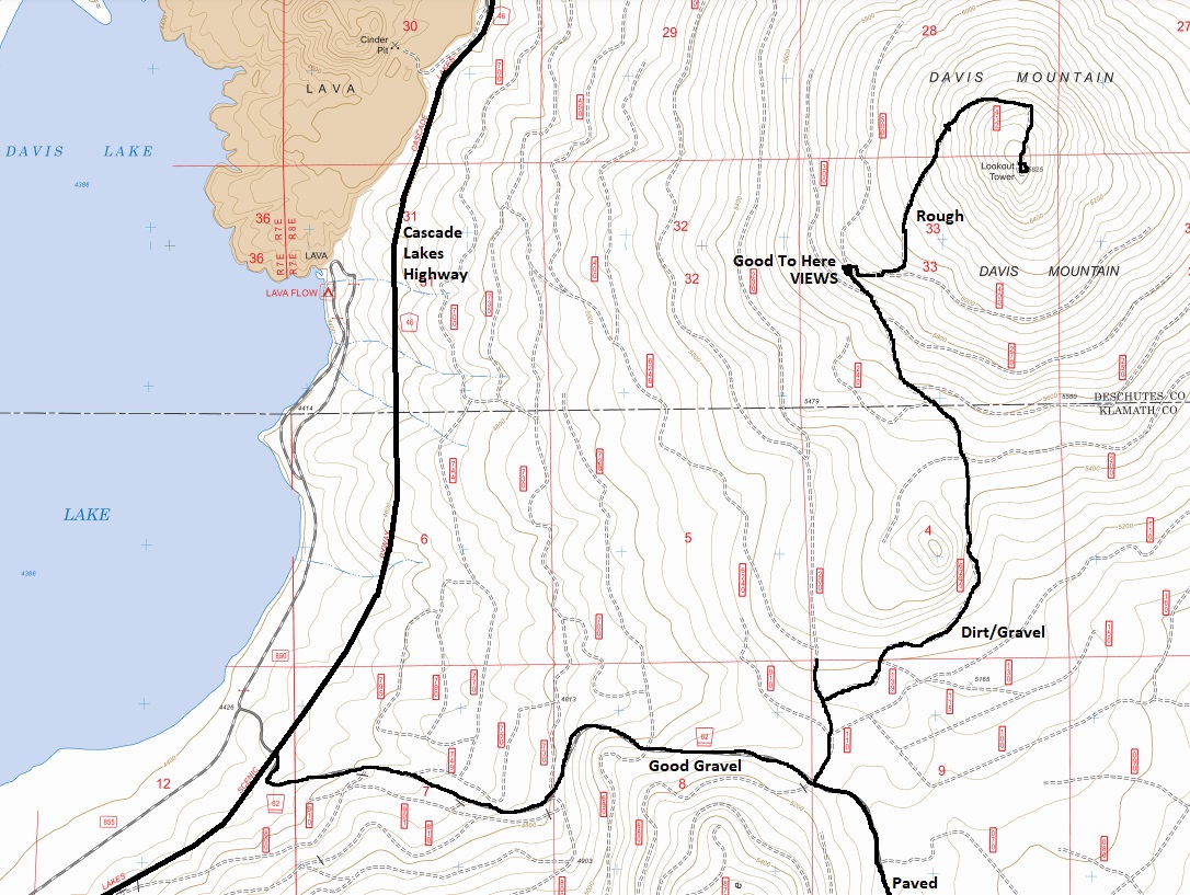
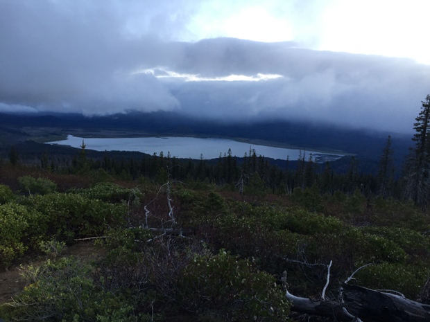
Davis Mountain stands right off the Cascade Lakes Highway, between Davis Lake and the Wickiup Reservoir. It is an easy drive-up if you have 4WD high-clearance (assuming the road has been brushed out). A decent road will take you halfway up to nice views over Davis Lake.
Elevation: 6,625 feet
Hiking Distance: Drive-up or 1 mile walk
Prominence 1,485 feet
Access: High clearance 4WD to drive to summit
Oregon Fire Lookouts
Davis Mountain Lookout Site
History
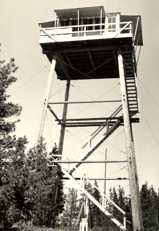
A lookout was built in 1933. It was a 40 foot round timber tower with an L-4 cab.
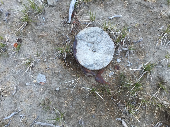
Also a 16x18 garage was built. Not much remains.
August 7, 1950: " An abandoned camp fire was blamed for the more serious of two fires which had started up Davis Mountain from the east shore of Davis lake. The fire was spotted and brought under control by Tom Morris, Davis mountain lookout. The fire threatened a stand of marketable pine timber and was confined to less than an acre." (The Bend Bulletin)
Access
Located of the Cascade Lakes Highway, use map below to find your way to the summit.
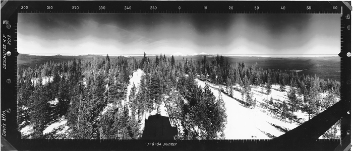
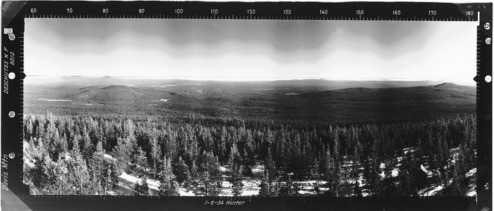
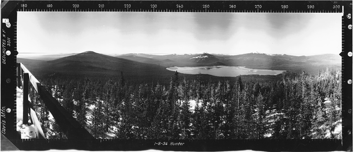
Looking North in 1934
Looking Southeast in 1934
Looking Southwest in 1934
Davis Mountain 1942
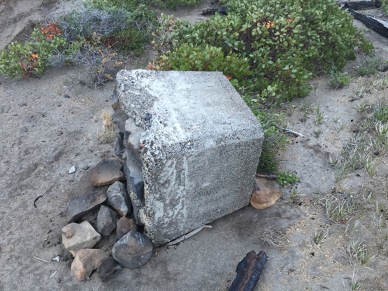
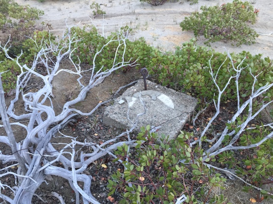
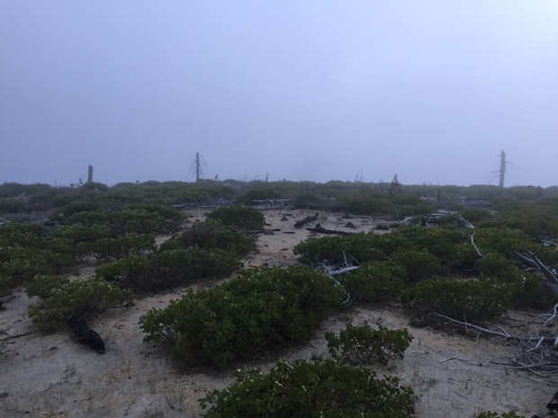
Summit of Davis Mountain
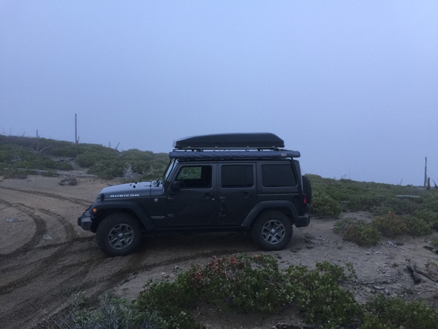
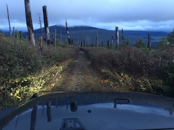
Summit of Davis Mountain with Jeep in 2018
Footing out of the ground
Round footing
Drove up near dark
Footing with eyebolt
Davis Lake


