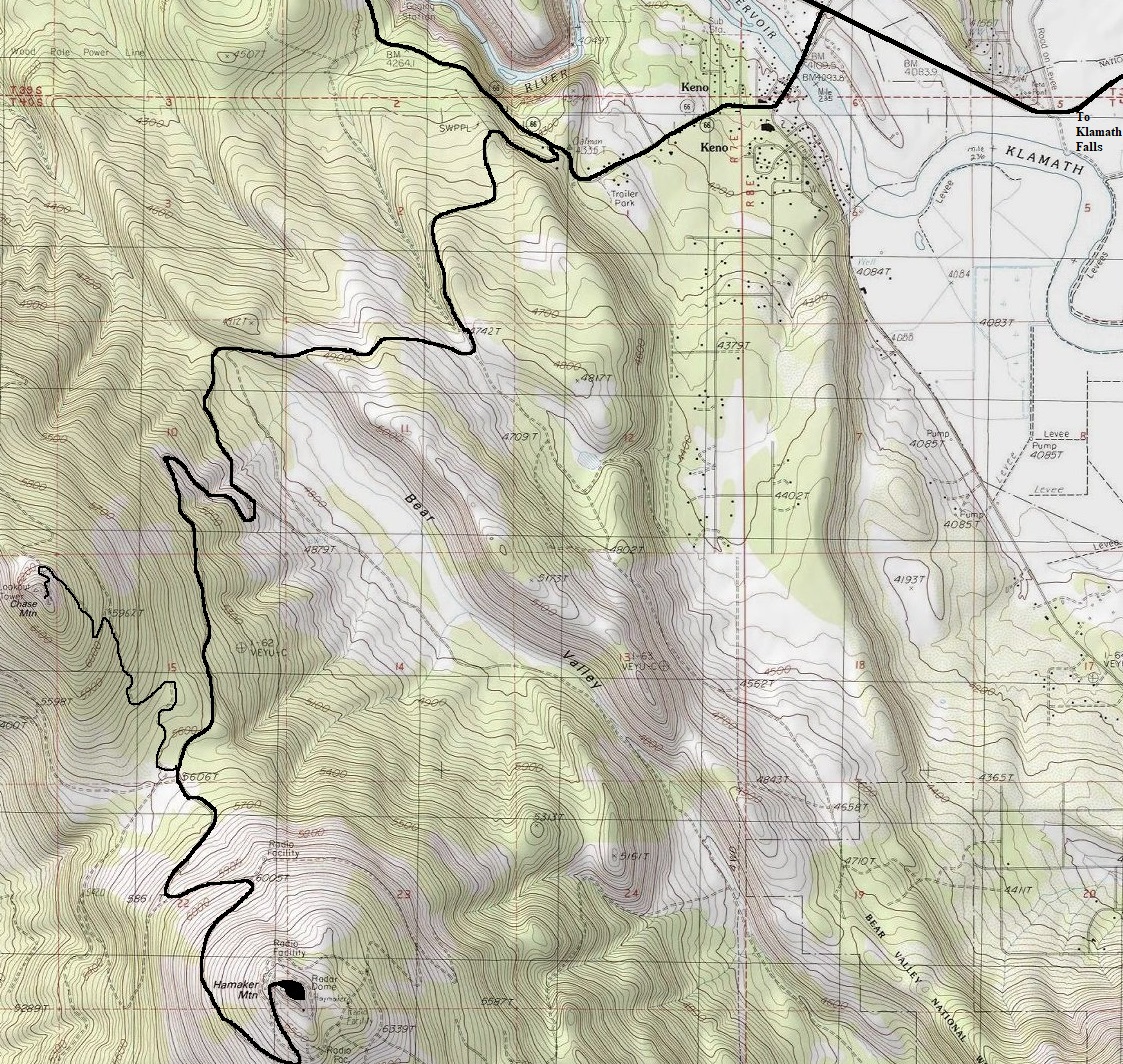
Hamaker Mountain
WillhiteWeb.com
Summit Elevation: 6,580 feet
Prominence: 2,220 feet
Access: Paved Road drive-up
According to peakbagger.com, on the quality ascent metric, Hamaker is/was tied for the worst peak in the world. A result likely due to the massive FAA dome on the summit and a fence that prevents one from standing on the highest point. Others find the nice paved road to the summit a real treat. If you have good weather, there are good views of distant mountains like Mt. Shasta and Mt. McLaughlin.
Summit and FAA Dome


Access:
From Keno go west on OR 66 to Hamaker Mountain Road and drive 9 miles to the top of Hamaker Mountain. The last quarter mile is old pavement and has some cracks.
History:
During WWII there was a permanently manned NORAD base here.
In route up:

