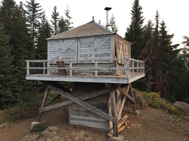
At one time, Devil's Peak with its 1,365 feet of prominence right above Government Meadows was quite the viewpoint. Today, the views are almost gone but surprisingly the fire lookout has remained, out of service but open to the public. The lookout is first come/first serve if you want to spend the night, probably best as a winter shelter. The fire lookout contains a wood burning stove, cots, and some firewood stored below the lookout, if you are lucky.
Elevation: 5,045 feet
Distance: 1.2 miles
Elevation Gain: 900 feet
Access to gate: High Clearance Best
Oregon Fire Lookouts
Access
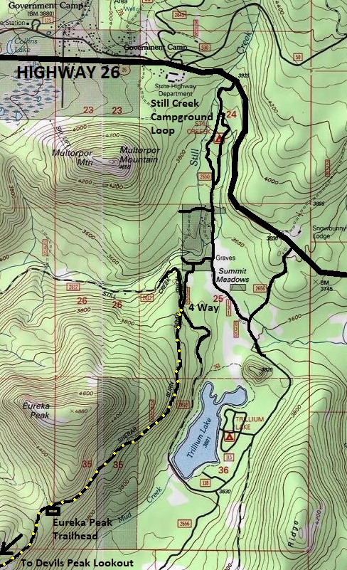
Take Highway 26 east to Government Meadows area. At the first big curve beyond, turn right at the sign for Still Creek Campground. Drive through the campground until a Y, go right out of the camp onto a dirt road. Take your second right onto Chimney Rock Drive. In a short distance it veers left and soon will reach a 4 way intersection where other access routes are possible. Cross the road and follow the forest road 2613 (Kinzel Lake Road) to the end at the trailhead. This road is rocky in places, higher clearance advised.
Devils Peak Lookout (Hunchback Trailhead)
History
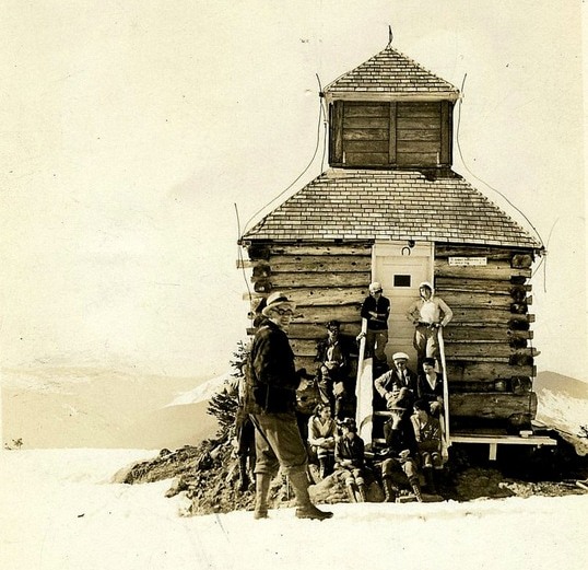
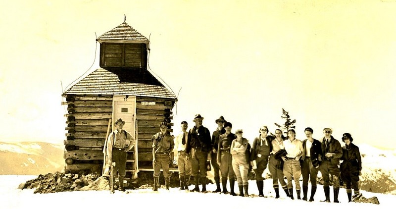
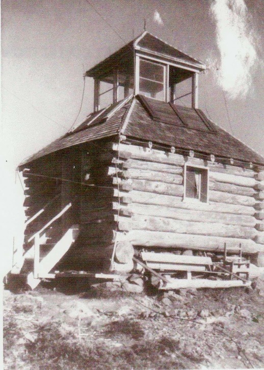
A 12 foot by 12 foot log cupola cabin was completed at the end of June 1924. Newspapers were discussing plans for the construction earlier in 1922 when a phone line was being extended from the Summit Ranger Station to the summit of Devils Peak, although the phone line did not get up to the top until 1924. The purpose of this location was to overlook the timber on the Zigzag and Salmon River watersheds. The second lookout structure was an L-4 cab built in 1933 on a 30 foot wooden tower. The third and current 8 foot wooden tower and L-4 cab was built in 1952. The lookout was deactivated in 1964.
Route
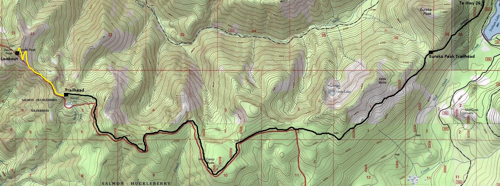
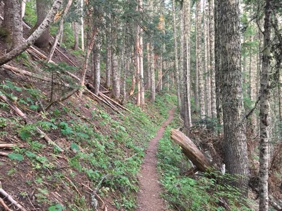
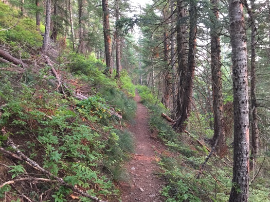
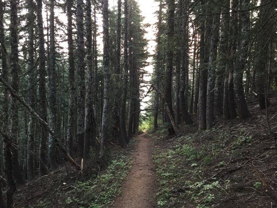
The standard route is almost 4 miles with 3,200 gain but if you have a decent vehicle for rough roads, the route shown on the maps below is best with just 1.2 miles and 900 feet of gain. From the trailhead, the trail just follows the ridge with a few minor ups and downs. When it gets below the lookout, several switchbacks climb up to the summit. The standard route joins the ridge just before the lookout site.
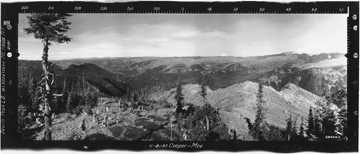
Devils Peak view north November 3, 1933
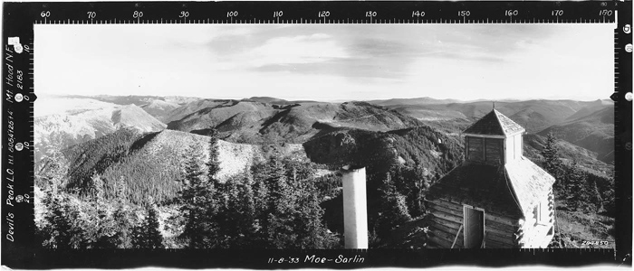
Devils Peak view southeast November 3, 1933
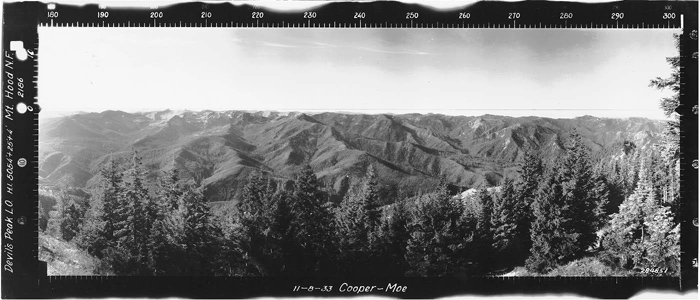
Devils Peak view southwest November 3, 1933
1928 Mark Swift collection
May 28, 1933 Darrell Tarter Collection
May 28, 1933 Darrell Tarter Collection
6 days after our visit, a women was killed by a cougar on this trail, glad my kids were up high at the trailhead while I grabbed the summit
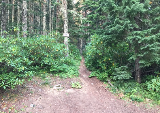
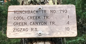
Trailhead and trailhead sign
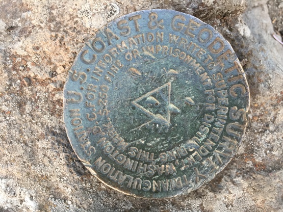
Benchmark
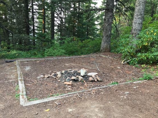
Likely garage foundation at the trailhead
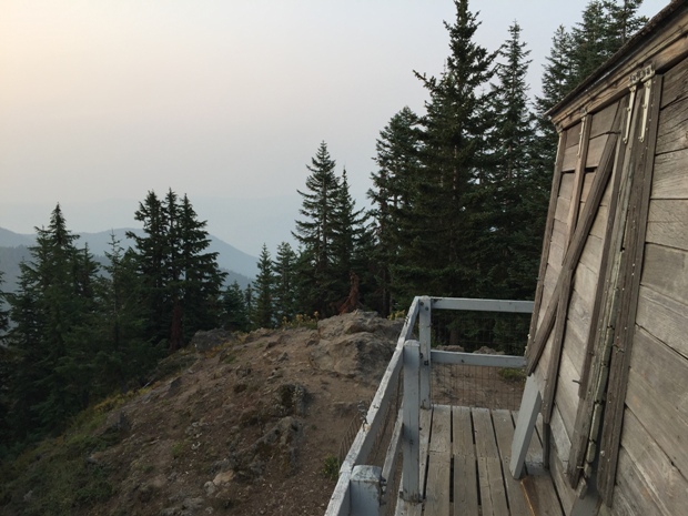
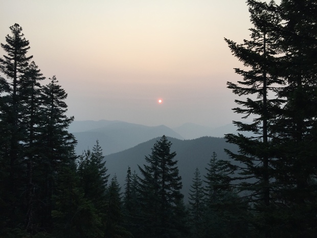
Sunrise and smoke
Devils Peak Lookout
Inside Devils Peak
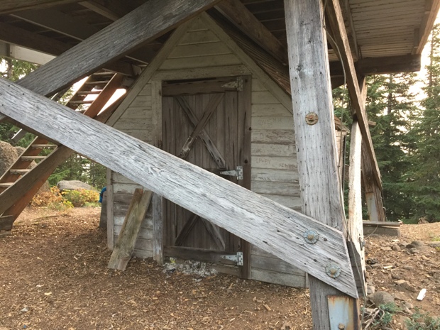
Under the lookout


