From Montesano, take the Wynoochee Valley Road for around 32 miles to the turn for Wynoochee Lake. Continue a bit further, taking a right onto Forest Road 23. Drive 0.8 miles to a Y, go right and in 0.1 miles, a minor road is on the right (FS 2371). This route up on Forest Service land is no longer the route to get to the communication towers. Driving up, the road starts kinda muddy and bumpy but it gets better the higher you go. A passenger car (when conditions are dry) could make it if taken slow. In 2016 my vehicle was heavily scraping alders on both sides most of the way. In 2020, the brush was gone and the road had been rocked in a few places. A gate is located at the 200 road to keep people from accessing the highest ridge.
Weatherwax Ridge & Lookout Site
Weatherwax Ridge is one of the southern edge guardians of the Olympics. It is the first to rise abruptly from the miles and miles of low-elevation timberlands. The ridge has communication towers on one point while a fire lookout once was located at another point. The ridge holds some significance to peakbaggers with 1,700 feet of prominence making it the most prominent peak in Grays Harbor County. The ridge is also a dividing line between public and private. The south side is the start of private lands extending south to the Columbia River. The north side of Weatherwax is the start of Olympic National Forest.
Elevation: 2,680 feet
Distance: 1.3 miles
Elevation Gain: 600 feet
Access: Dirt & gravel, good after first few minutes
WillhiteWeb.com
Access One
Route
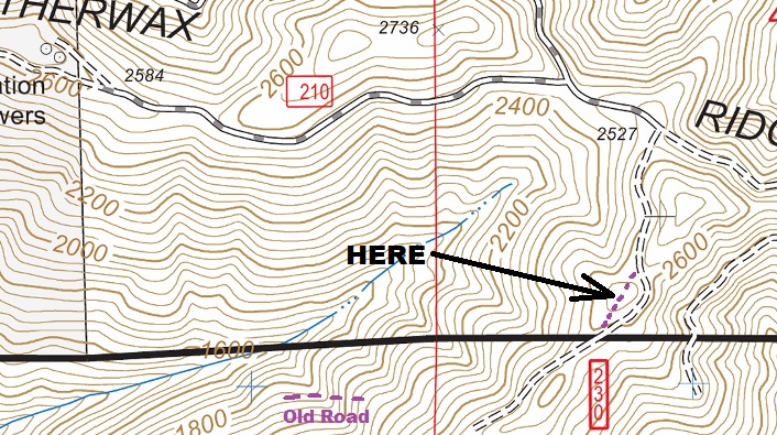
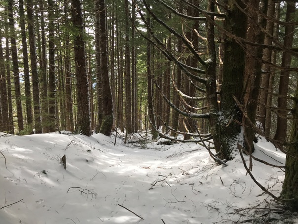
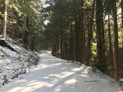
The 200 road behind the gate up to the summit ridge is becoming a trail. Once on the summit ridge, a well used road is reached. Go left and uphill until the highest saddle between two knobs. The lookout was on the lower knob, go right on an old road up to the site.
Lookout History
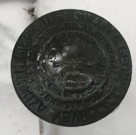
In the mid-1940s, a tree was being used as an emergency lookout. I am guessing this tree was where the communication towers are currently located. In 1954, the USGS put in the Weatherwax station benchmarks and they even mention a lone tree on the ridge. These benchmarks were placed where the communication towers are located. These surveyors also record that they placed an Azimuth Mark is on the summit of a logged-off hill.
In 1956, the DNR built the lookout on this logged-off hill. The Forestry division reported a standard lookout station consisting of a forty-foot tower mounted by a 14 x14 foot cabin. The cabin is of the new design developed by the Division of Forestry, are built of plywood and glass with an aluminum roof which overhangs the building to act as a sunshade.
In 1961, a survey party returned. In the Station Recovery Notes, they said the Weatherwax Lookout bears South 66 Degrees East from the Station. So, from the station mark (at the communication towers), if you take that bearing, it points directly to the knob where the lookout stood. The lookout was on the logged-off hill where the azimuth mark was placed, 2 years before the lookout was built.
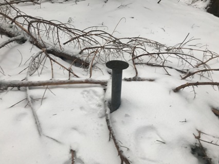
The Azimuth Mark is still exactly as it was described in 1954, being 75 feet west of the center of the road. It is a standard bronze disk welded to the top of a 2-inch iron pipe projecting 8 inches and is stamped WEATHERWAX 1954. An arrow on the mark points to the station mark. A newer road skirts the side of the knob but the old road up and over the knob can still be easily followed.
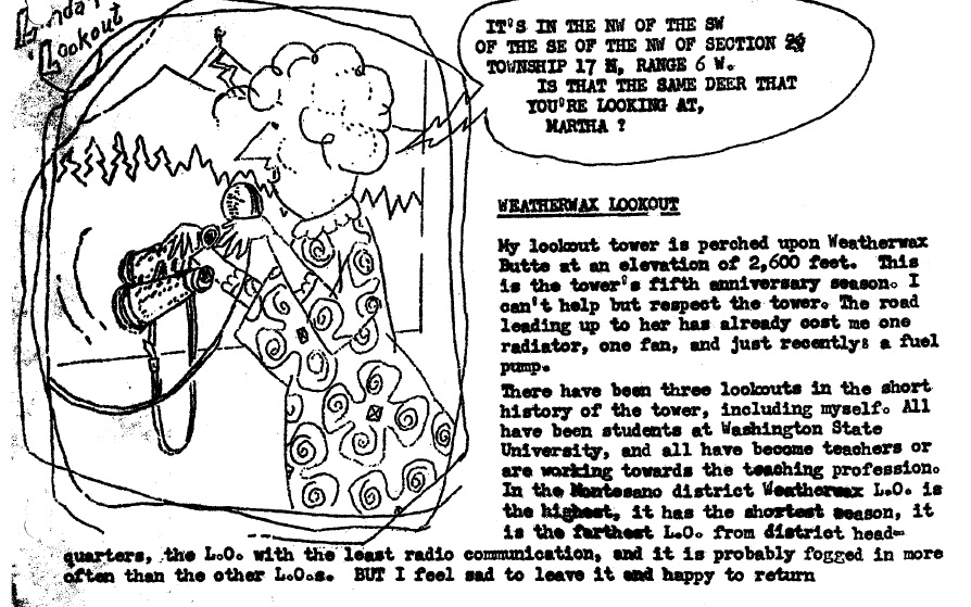
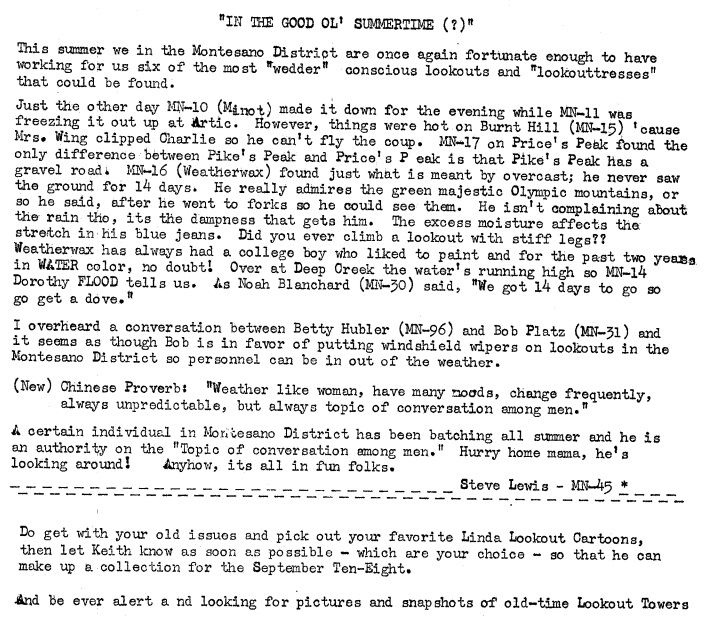
From 1960 to 1963, the lookout was Keith Lundy Hoofnagle. He was also a cartoonist and while on Weatherwax created the character Linda Lookout. His Linda character appeared in many magazines See his book called The Story of Linda Lookout
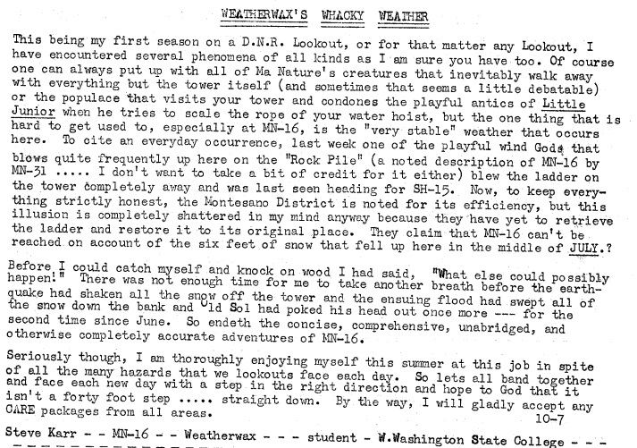
In 1964, the lookout was Steve Karr.
In 1968, the lookout was removed.
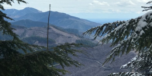
There will be no views until the next harvest. Weatherwax Ridge is named after John M. Weatherwax, an Aberdeen pioneer during the 1880. He built a successful lumber mill and other buildings in Aberdeen.
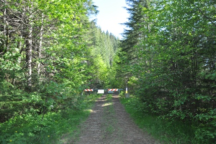
200 road gate
Ridge road to summit area
Azimuth marker
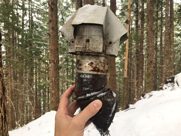
Top of some kind of gas water heater or small pellet stove, or outhouse cap.
View just below the lookout site to the East toward South Mountain
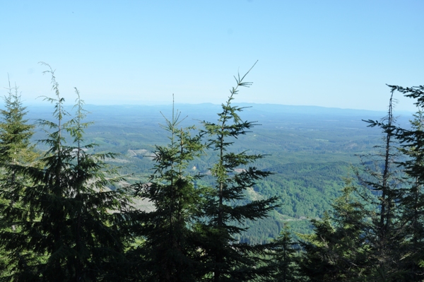
View south from nearby
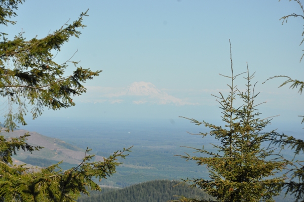
Mount Rainier view from nearby
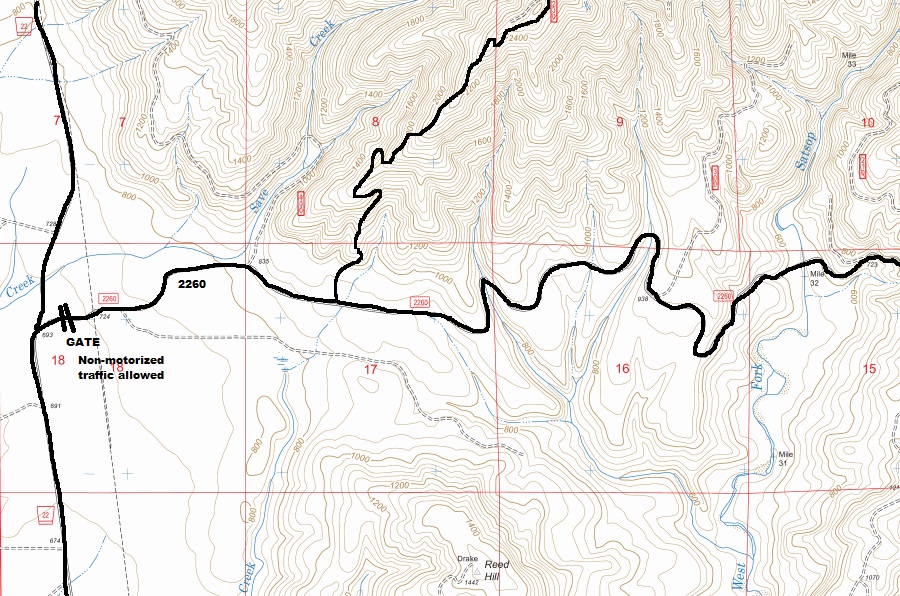
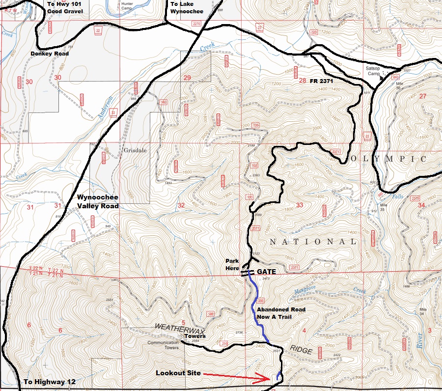
From Montesano, take the Wynoochee Valley Road to a private gate on the right just before the Save Creek crossing. As of 2020 they were allowing non-motorized use. A spur road climbs up the south side (roughly shown on map above) to the lookout site area.
Access Two
Azimuth marker
Lookout location and showing old road over the top of the knob. The point just north of the lookout is higher and has a geocache. The knobs in the top center (2736) are considered the highpoint. The far left is the communication towers an location of the USGS station mark.
Views west
Views Southeast
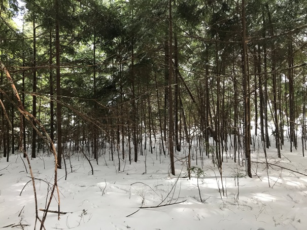
Lookout area just starting to grow some trees
Looking down the old road
1964
1964
1964


