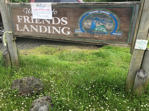
Friends Landing Trail - Montesano
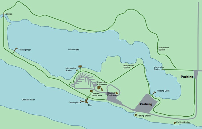
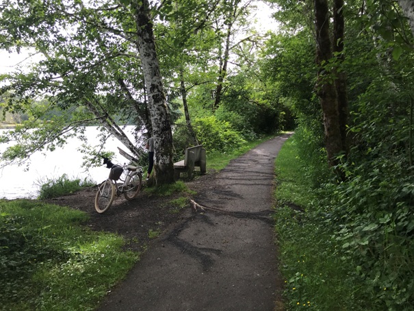
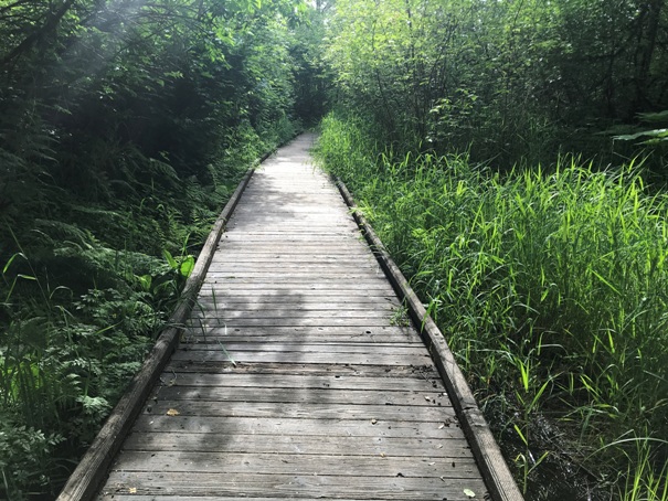
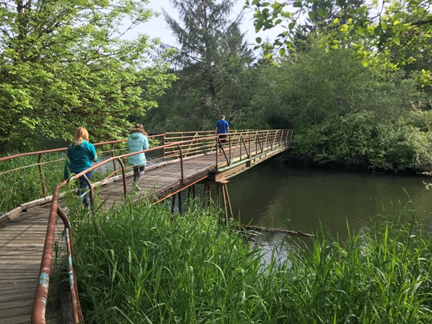
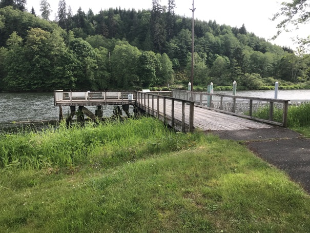
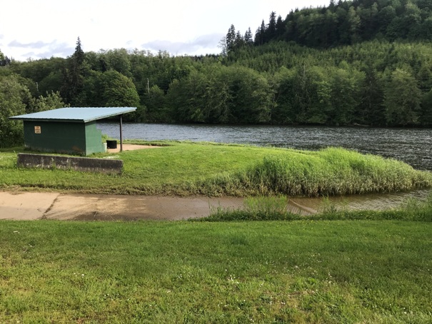
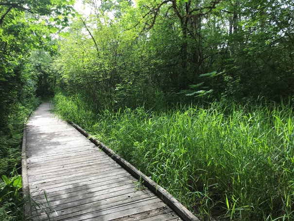
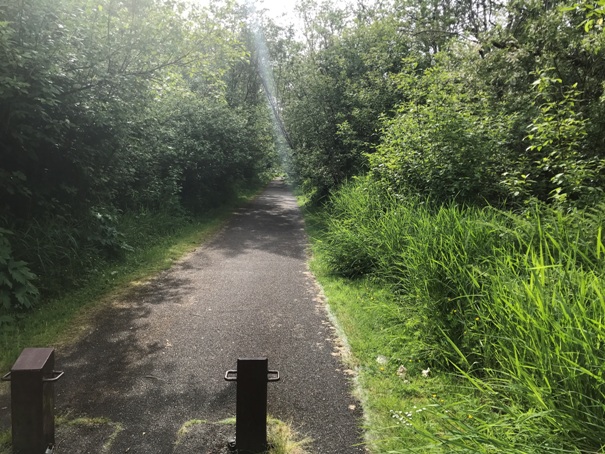
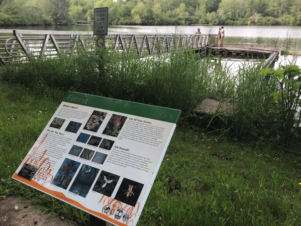
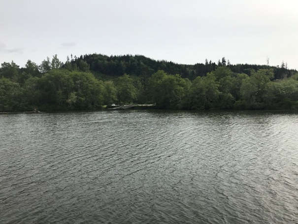
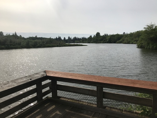
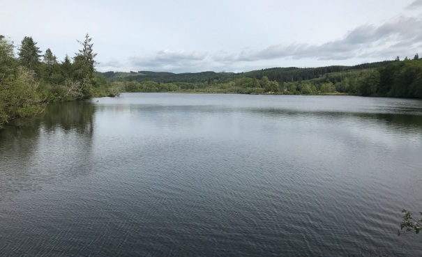
The next time you are driving out to the beach and the weather looks like crap, consider this hike located just outside of Montesano. The Friends Landing Trail is a 1.7 mile hiking trail around Lake Quigg. It is a paved and bridged trail that takes you through wetland marsh, and woods with several views of the lake. There are several interpretive signs and viewing docks as you do the loop. Birdwatchers may see bald eagle, osprey, Canada goose, king fisher, cormorant, steller's Jay, duck, woodpeckers, hawks and songbirds. The loop is not that exciting but the trail is a good leg stretcher.
Washington Hiking
Directions:
From Highway 12, as you come to Montesano, take the Devonshire Road exit. Turn right and go over the highway to the right. Continue along this road and turn left onto Katon Road (about 1.3 miles from the freeway). Go to the end of Katon road.
Distance: 1.5 miles at most
Elevation Gain: 0 feet
Access: Paved road
Sign on Highway 109
Friends Landing History
When David Hamilton, a Trout Unlimited board member, wanted to help a close friend who was having a difficult time accepting life in a wheelchair, he thought about what he could do to help. He began making plans for a recreational facility that people with disabilities could enjoy; where they could access aqua-culture and fish enhancement projects in the beauty of northwest Washington State. He set about to make his dream happen, complete with a campground wedged between a river and a lake for the disabled community.
The Friend family donated 152 acres, previously an old gravel pit with one-mile of Chehalis River frontage, to Trout Unlimited in 1988. Dredging for gravel had produced a 32-acre, man made lake, Lake Quigg, with a variety of fish. After Hamilton presented the plan to use this property to build a park for the disabled community, Trout Unlimited agreed to support the project. Hamilton planted the seed and got the wheels turning; Trout Unlimited, along with Columbia Pacific RC&D and Grays Harbor County funded the project and provided volunteers.
The community came together in three phases. First the volunteers built a fishing pier on the Chehalis River with a boat launch, two fishing shelters, a picnic shelter, a parking lot and quarters for a caretaker. Then they built a paved path south of the lake along with viewing docks and piers. They erected a ramp and float on the river, along with a boat launch, an extended parking lot and landscaping.
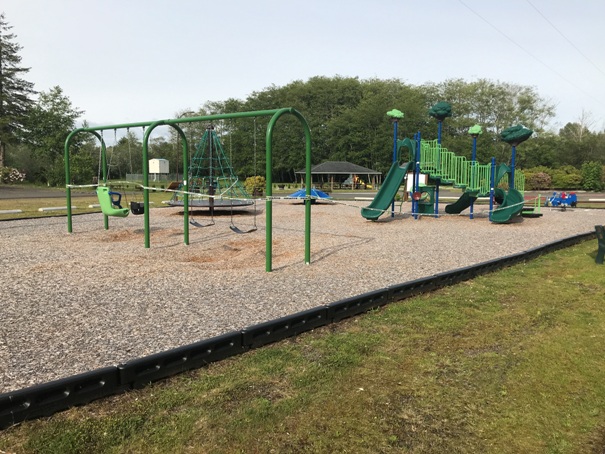
In 1999 the final phase was completed with a paved pathway circling the lake, restrooms with showers, recreational vehicle and tent-camping facilities, paving and accessible playground equipment.
In 2014, the stewards of these vital waterfront facilities chose the Port of Grays Harbor to take over the long-term management and preservation of Friends Landing. The Port's mission of providing public access to our waterfront and promoting tourism for the betterment of the region was a perfect fit to manage these beautiful waterfront assets.
