Anderson Butte Lookout Site
Somehow Washington ended up with two Anderson Butte Lookouts, one in Whatcom County, the other down in Grays Harbor County, at the south end of the Olympic Mountains. This is the one in the Olympic National Forest, one of the most interesting former lookout sites yet one of the least visited. This could and should change if a bit of work is done to improve the trail. The old logging road that gets to within 600 vertical feet of the site has become forested and makes for a very nice trail. The tread is nearly perfect but unless it is brushed out occasionally, the trail will overgrow. The reward for your effort is a ending climbing up a trail blasted out of a knife-edge ridge to a site blasted flat enough to place a large fire lookout.
Elevation: 3,358 feet
Distance: 3.5 mile hike
Elevation Gain: 2,300 feet
Access: Mostly paved, good gravel at end
WillhiteWeb.com
Access
From Montesano, take the Wynoochee Valley Road for 35 miles to the Wynoochee Lake area. Turn right on Forest Service Road 23. The pavement ends here but its an easy 1.3 miles on good gravel to the starting point. Either park on FR23 or drive up the spur a short distance to the end, parking for one at the end of the spur.
Route
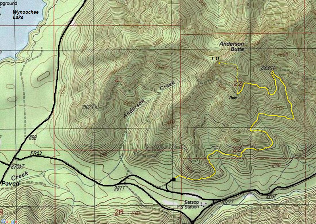
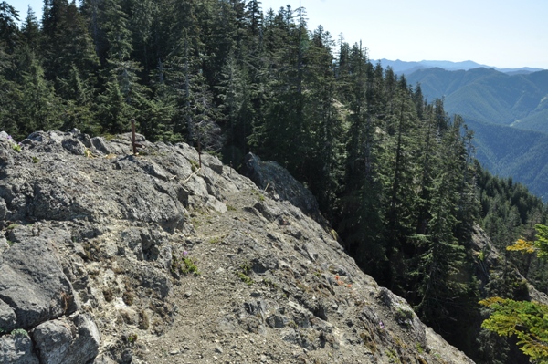
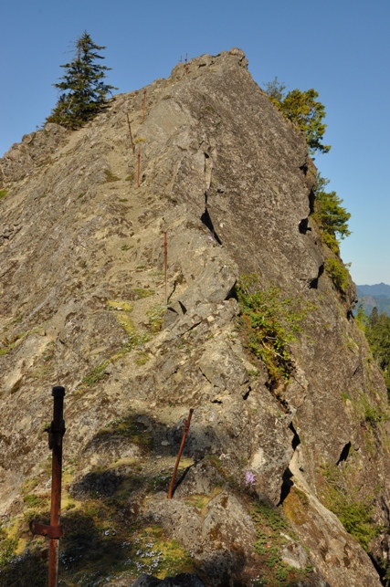
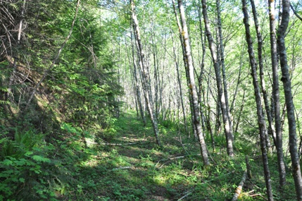
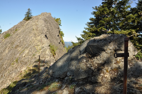
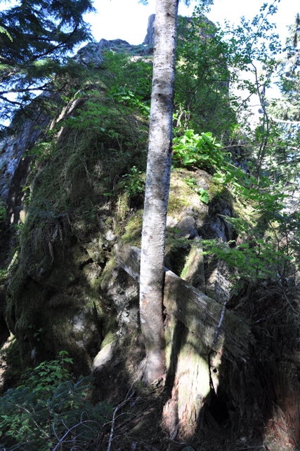
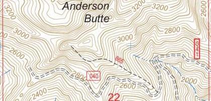
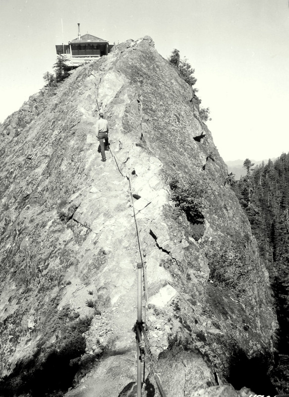
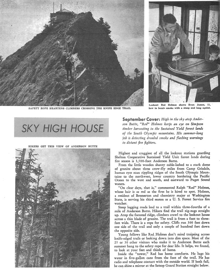
At the end of the spur road is a washout. On the other side, follow a trail as it uses the old road (FR040) for nearly 3 miles. In 2016, a trail existed just enough to make travel pretty easy, but encroaching brush in places was there. Very little effort would be required to make this a nice trail, since the tread is already good. At the highpoint of the road walking (see map), look for a trail above the road cut, climbing the south ridge. This boot path is faint at times but sticking to the south ridge, you should come across it if you loose it. It is steep at times. Near the top, many downed trees make travel difficult. Look for flagging and some minor brush cutting a path. The rocky perch isn't at the highest point so the trail will skirt west to the narrow neck and access to the final rock perch. Posts are still anchored and the eyelets the cable passed through are attached as well. You could even run a length of rope through to make worrisome visitors feel better. The tread itself is pretty good up the rock, just don't look down. A worker was killed in a fall during the building of the lookout.
History
This location likely started being used in 1937. In the memoirs of Harold C. Chriswell, he said The lookout lived in a tent down in a saddle and climbed the rock hanging onto a piece of Number 9 telephone wire. The firefinder was mounted on three wobbly sticks with no room to get around it without knocking it out of adjustment or falling off the butte.
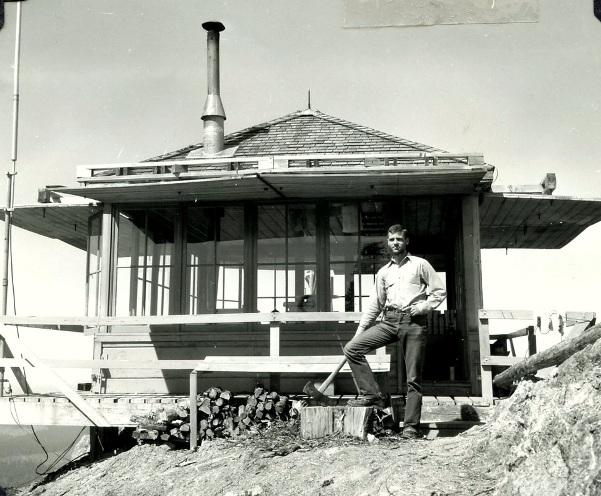
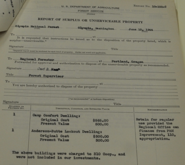
It seems the cab was built in 1943. According to a FS Structural Inventory, in 1943 a wood 14x14 standard R-6 plan ground house was constructed. Also a 10 x 14 wood shed and an open air Wallowa toilet installed. Another source from AWS records said in September of 1943, "The station, 'Charlie 0-2,' was inactivated. The station was of all new construction built on National Forest lands. The Forest Service erected the lookout structure and necessary out buildings, the AWS funded the construction of the 10 x 14 foot cabin. At the end of service the site was retained by the Forest Service for the detection of forest fires". The lookout building was used into the mid-1960's, it was destroyed in 1968.

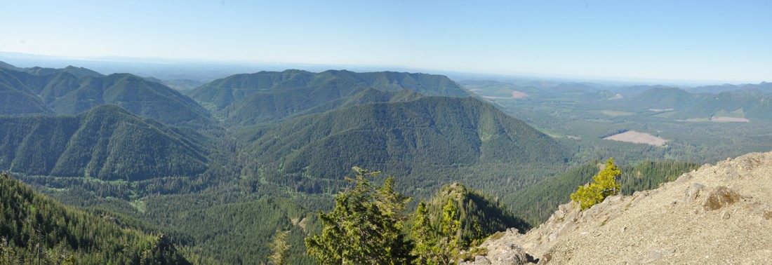
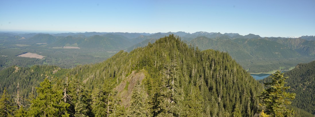
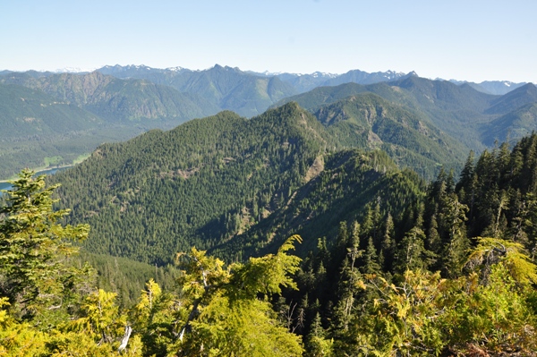
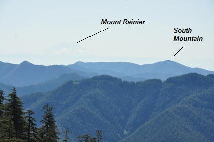
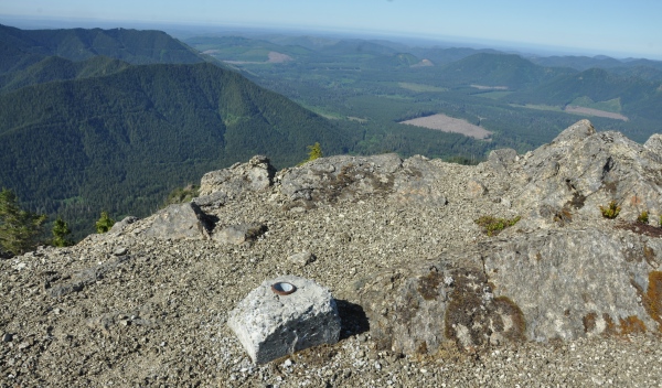
Looking south and southwest with Weatherwax Ridge (former L.O.) in center, a mountain with 1,700 feet of prominence
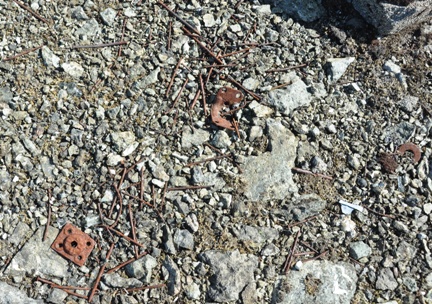
Nails, hinges, bolts, glass, washers and bolts
The three mile road walk
Up to the site
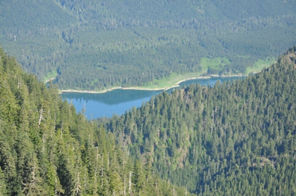
Looking down at Wynoochee Lake
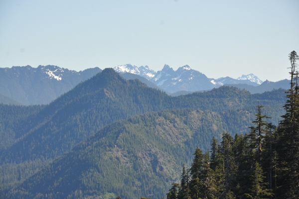
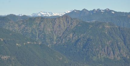
Looking toward the Mt. Olympus peaks
Looking down the narrow trail from the lookout site
Looking south and west
Looking north
Flag post ready for new pole & flag
This trail shown on maps doesn't exist, stay off this ridge - it sucks.
Some old wood work at a narrow neck as you start final segment
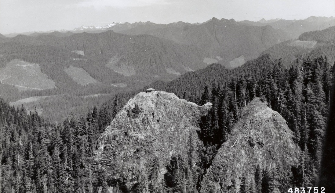
Anderson Butte from an airplane on July 18, 1957. Taken by Leland J. Prater.
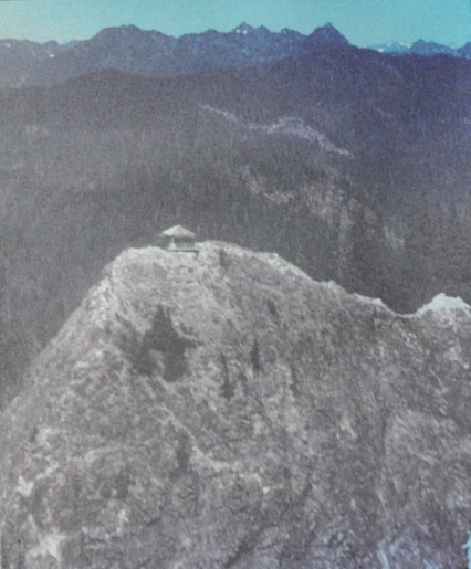
Anderson Butte from an airplane
ONF Staff Officer Wallace Wheeler ascending last 75 yards. Photo by Frank Flack, July 1952

January 12, 1940 regarding the coverage in the Wynoochee Unit
AWS document June 15, 1944
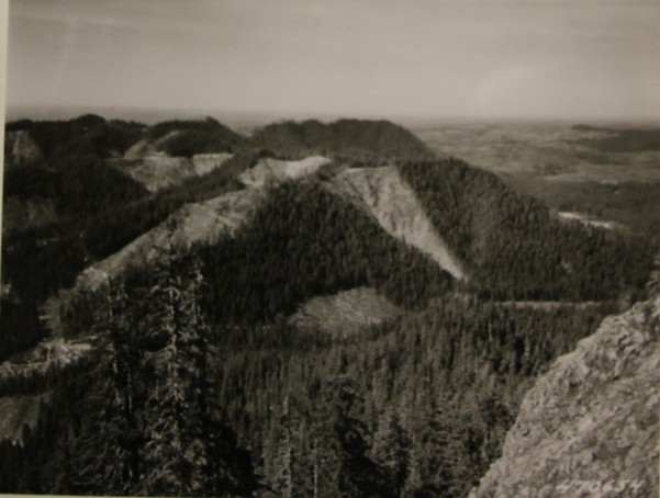
Looking SW, logged by Schafer Brothers Logging Company. Schafer Camp & Satsop Guard Station show in lower left. Simpson Logging Company camp (Grisdale) in white area, center right of picture. (info on the photo)
Onto the rock section
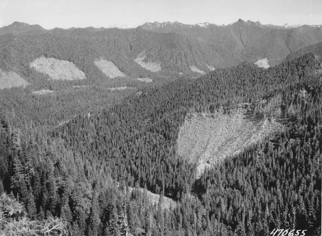
View in July 1952
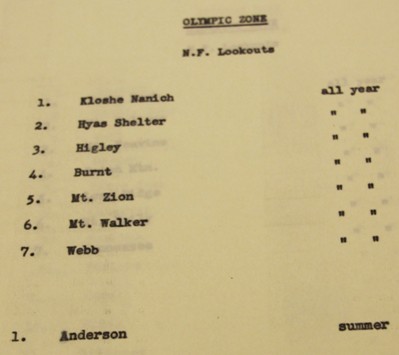
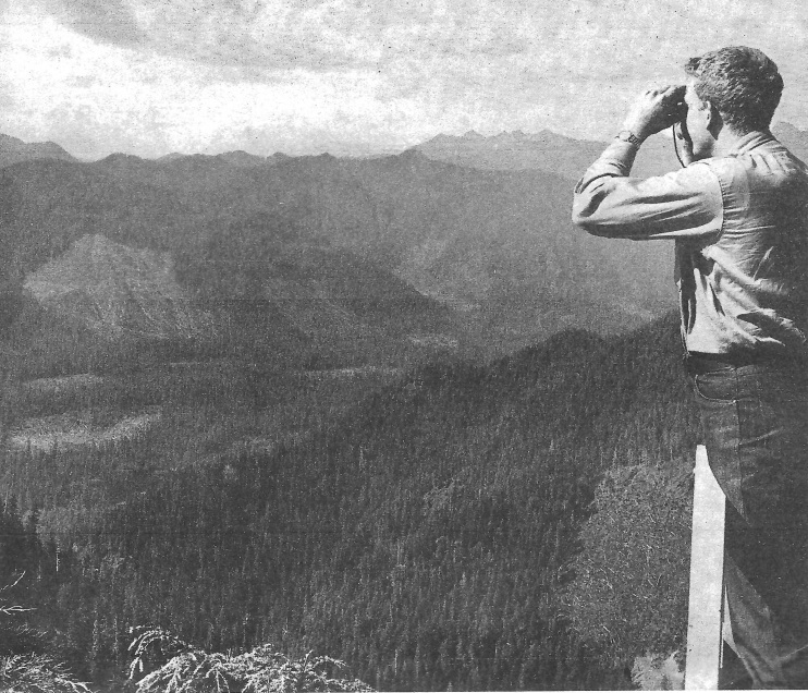
AWS document showing Anderson was a summer only station
Article in the Simpson Lookout (a magazine for the Simpson Lumber Company)
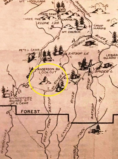
1935 Hood Canal Recreation Area map
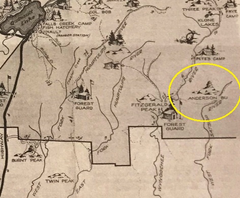
Quinault Lake Recreation Area map
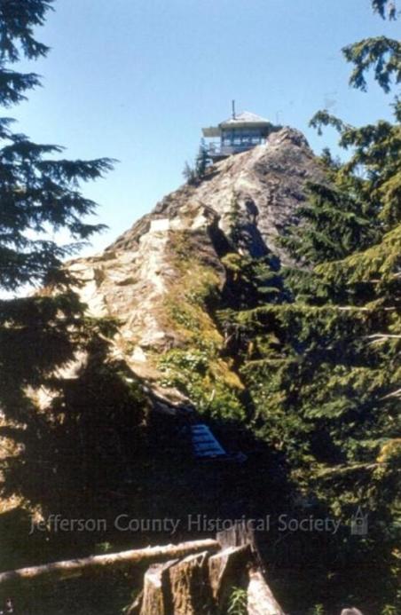
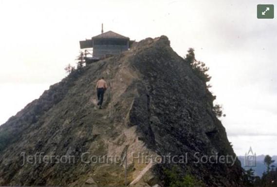
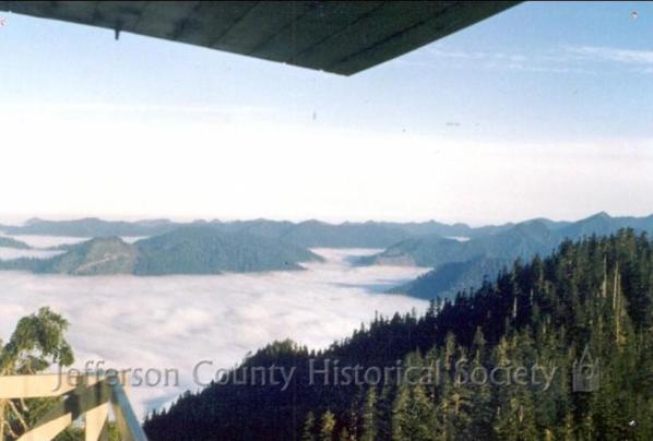
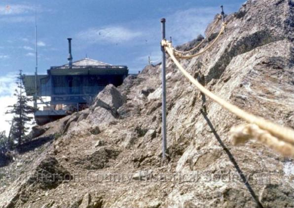
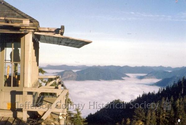

Image to the left 483752


