
Winchester Mountain Lookout
Washington Hiking & Climbing
Distance: 1.5 miles
Summit Elevation: 6,521 feet
Elevation Gain: 1,300 feet
Road Access: Gravel but some years requires high clearance
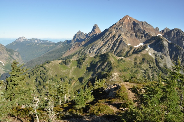
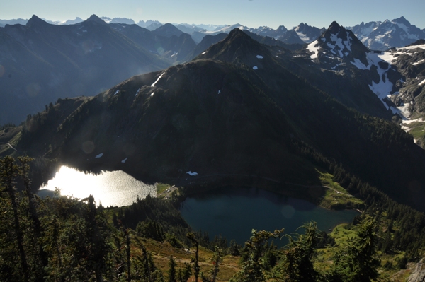
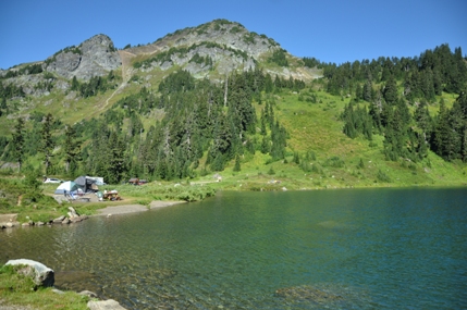
Winchester Mountain is one of the best hikes in the state with spectacular views from start to finish. Even before the hike starts, the trailhead and alpine primitive car camping location at Twin Lakes should be explored. Twin Lakes at an elevation of 5,200 feet are set in an alpine cirque bowl beneath Winchester and Bear Mountains, surrounded by meadows and subalpine trees. Mount Baker is mirrored in the lake as the trail starts to ascend meadows to the lookout on the summit. On top are close up views of Shuksan, Tomyhoi, Larrabee, and American Border Peak. But be warned, a snowfield near the top lasts late into the summer and is steep and icy. Plan your trip in August or September or you might not be able to reach the summit.
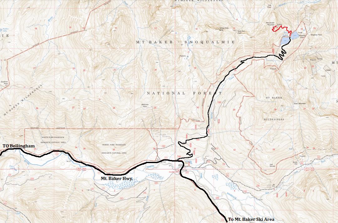
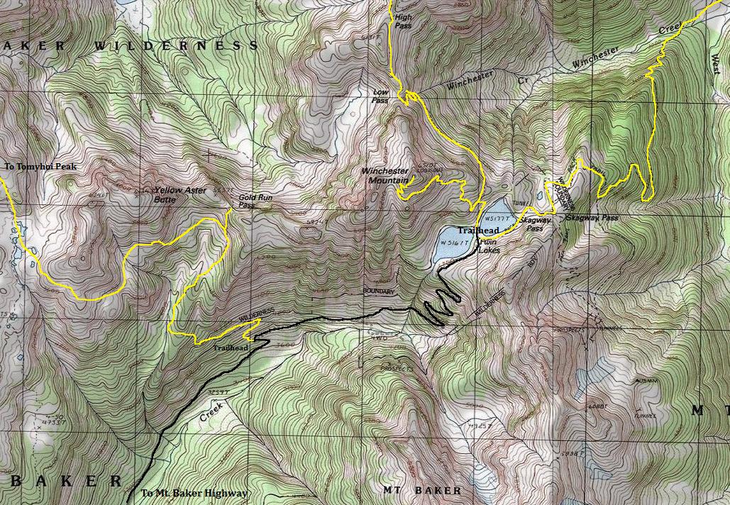
Take the Mount Baker Highway 542 east to Glacier and 13.5 beyond to the Highway Department sheds. Just east of the sheds is the signed Twin Lakes Road (FR 3065). The first 4.5 miles to the Yellow Aster Butte Trailhead should be in good shape. Beyond this trailhead, the following 2.5 miles are questionable. Depending on the year and maintenance, you might need a high clearance vehicle or you might be ok in a sedan. Historically this final route is rough, rocky with occasional washouts. In 2014, the road was good enough for any vehicle to drive (with care) to the lakes. If it's bad, park at the Yellow Aster Butte trailhead and walk the 2.5 miles to the lake.
Access:
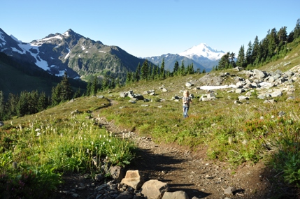
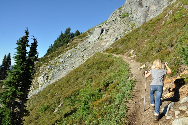
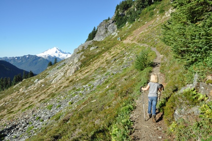
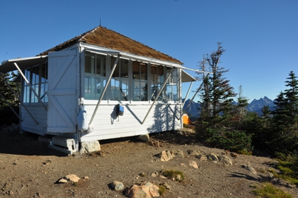
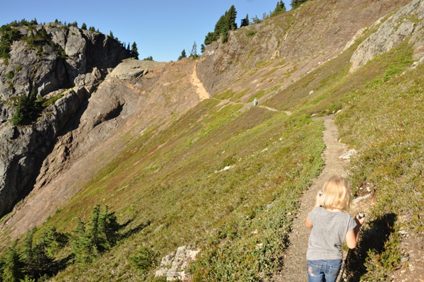
The Winchester Mountain trail begins between the lakes. In a short distance is a junction with the High Pass Trail. Go left to Winchester. The hike is through open meadows as it switchbacks in alpine gardens. Although the trail is short, there is one section going through a band of rocks that has been cut out of the rock, hold kids hands here, it's exposed. In summer, the summit has a flag pole with the American Flag waving to the crowds below at the lake. The lookout was built in 1935, then scheduled for demolition in the early 1980s until the Mount Baker Club saved and restored it. These days the building is used for overnight trips instead of fighting fire.
Route
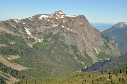
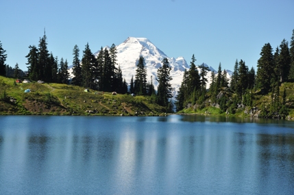
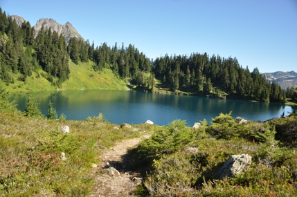
Winchester Mountain from Twin Lakes Campground
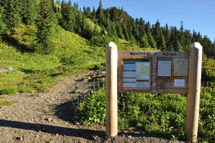
Winchester Mountain/High Pass Trailhead
Tomyhoi Peak and Tomyhoi Lake
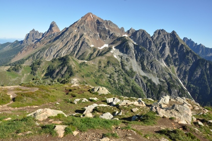
Canadian Border Peak, American Border Peak, Larrabee, Pleaides, Slesse
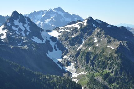
Goat Peaks and Mt. Shuksan behind
South Twin Lake with Mount Baker
North Twin Lake
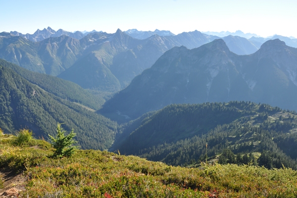
Looking east down Winchester Creek
Approaching the section that is scratched into the rock
Mount McGuire, BC
Canadian Border Peak
American Border Peak
Larrabee
Looking Northwest
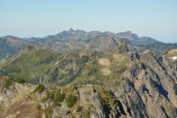
Looking west to Yellow Aster Butte, Welcome Pass Peaks, Excelsior Mountain,
Church Mountain, Bearpaw
Looking down at Twin Lakes from the summit. You can see the cars parked at trailhead between the lakes.
Thanks to an interview with Rudy Geri, he explains that he was a lookout in 1930 and 1931 on Winchester before there was a lookout building. His campsite and telephone was a tent all the way down between the Twin Lakes. There was no trail to the summit, not even a firefinder on the summit. He was told to be on the summit at 8 a.m. each day. (Listen to him on the YouTube link below.) The current structure was built in 1935, an L-4 ground cabin that was last staffed in the 1960's. The cab has been restored by the Mount Baker Club, and has taken over the responsibility of maintenance.
Lookout History
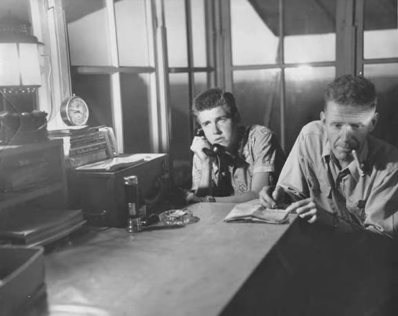
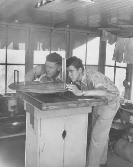
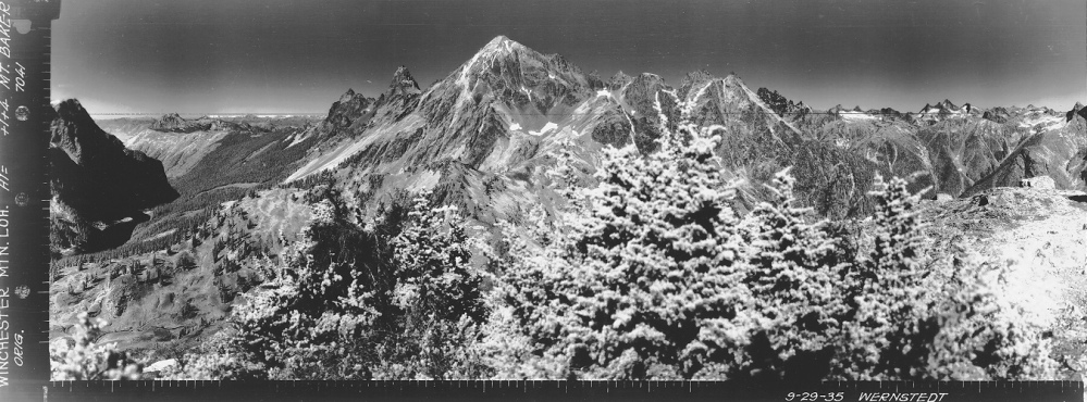
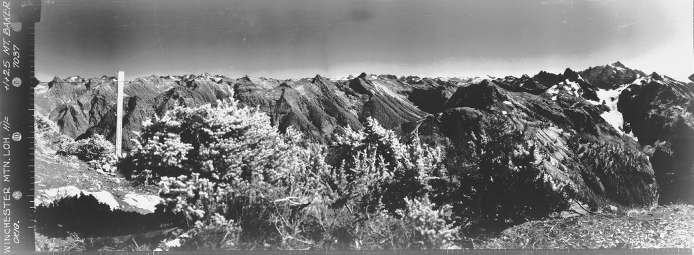
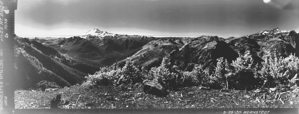
July 30, 1951
July 30, 1951
Looking North
Looking Southeast
Looking Southwest


