Mission Peak
Elevation: 5,746 feet
Hiking Distance: 1.5 miles one-way
Elevation Gain: 1,300 feet
Access: Good gravel roads
Prominence: 586 feet
This little peak offers a quiet setting well off the trail but with easy off-trail walking to the summit. The trail and route along the Libby Lake Trail will also melt out long before the trail melts to the lake, so it is a good backup incase you turn back due to conditions. There are two summits but the closer one is marked on maps as 22 feet higher, but the further summit looks higher. They both have the same number of contours on the map so hopefully the survey crew got it right.
Take SR 153 for 20.5 miles up from Pateros. Turn left on Libby Lake Road/Blackpine Road. Follow it to the end of pavement around 3 miles. Go left following FR 4340 for 5 miles or so. Then a right on Road 700 for a bit and left on 750. Signs point most of the way.
Access:
WillhiteWeb.com
Follow the trail up as it does several switchbacks. When the trail stops switchbacking and traverses up within a few feet of a pass, at the pass, leave the trail on a minor track up to the official pass on the ridge, then just go cross-country up the hillside until you reach the summit.
Route:
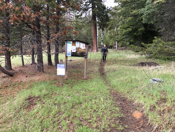
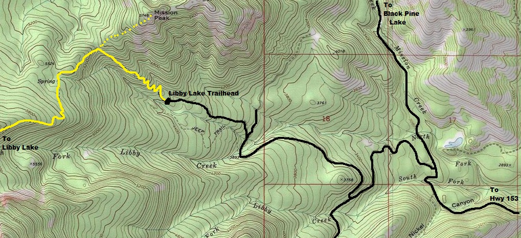
Libby Lake Trailhead
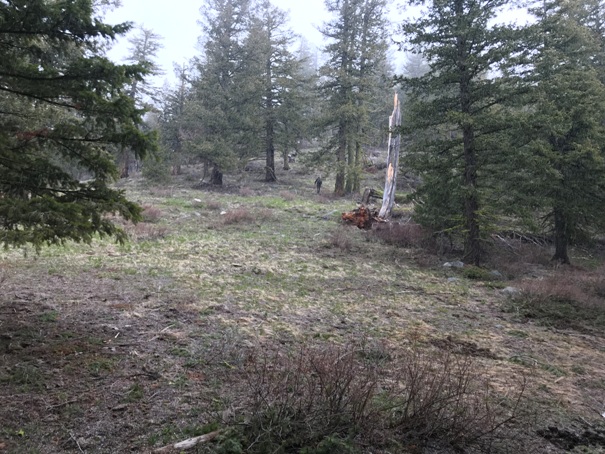
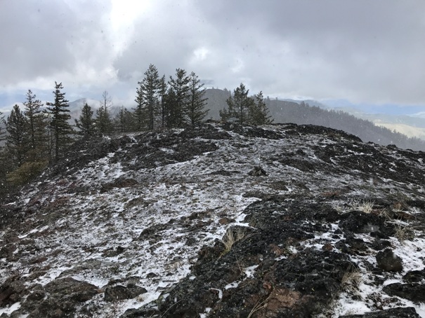
Hiking up the ridge without trail
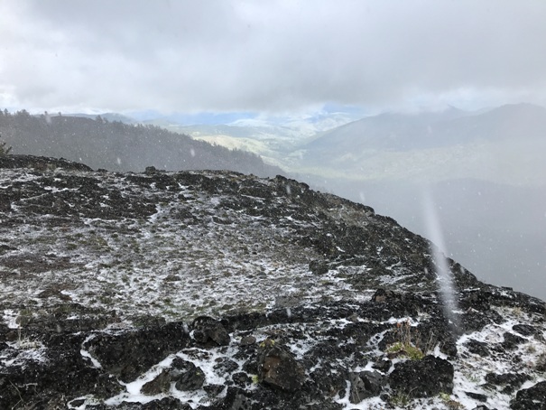
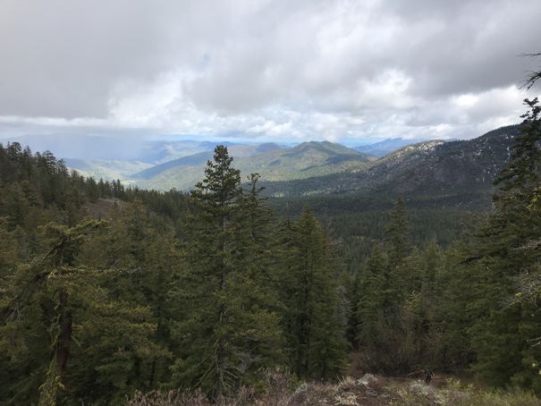
Looking east when the weather allowed
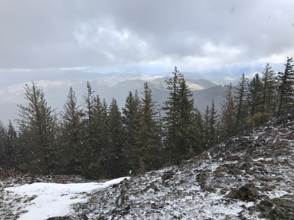
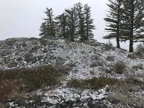
The summit normally has views but low clouds and this hail storm was causing some issues this day.


