Lewis Butte
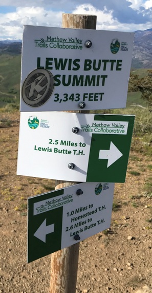
Elevation: 3,346 feet
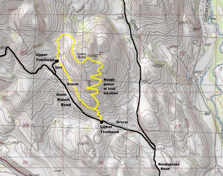
Hiking Distance: One mile each-way from upper lot
Optional Hike: Do the 5 mile loop
Elevation Gain: 500 feet from upper lot
Prominence: 426 feet
Access: Good gravel roads
Restrictions: Need a Discover Pass
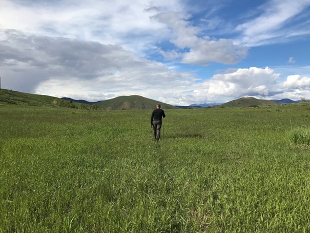
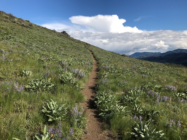
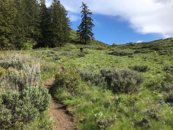
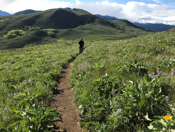
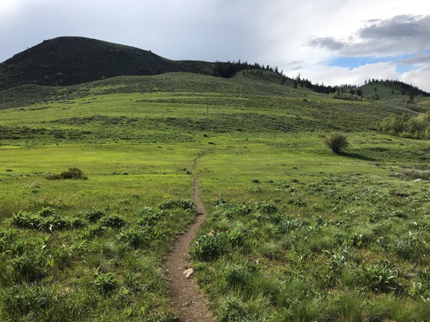
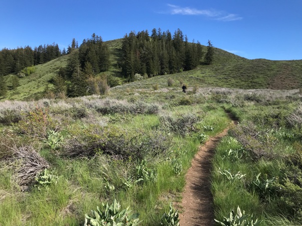
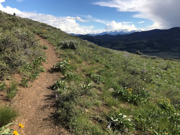
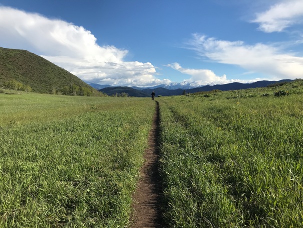
Just outside of Winthrop, this hike is easy to access with one of the best spring wildflower displays around. There is a large loop that includes the summit along the way. The route is easy going and trail crews have been improving the trail each year. Views from the top are nice of the Methow Valley and surrounding peaks.
From Winthrop, follow the West Chewuch Road for 1.5 miles. Turn left on Rendezvous Road. Turn Left on Gunn Ranch Road. 1 mile west on Gunn Ranch Road is a parking lot and toilet. This is the lower parking lot. The upper lot is further up the road, then a right turn on a bumpy dirt track to the west side of the Butte. If the summit is the goal, the route is only one mile from the upper lot.
Access:
WillhiteWeb.com
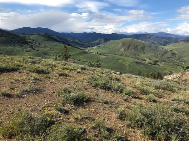
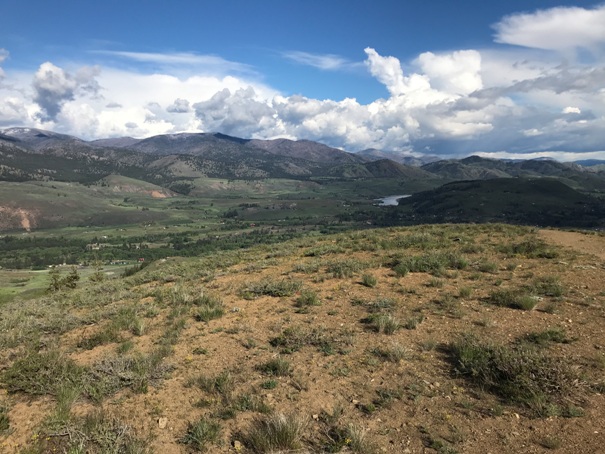
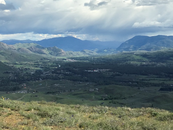
View north from the summit
Winthrop area
Pearrygin Lake and state park area
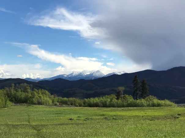
Hoodoo Peak in the distance (we climbed that earlier in the day)


