From I-5, take exit 208 getting on Highway 530. Drive 32 miles passing through Arlington and finally reaching Darrington. In town, turn right and follow the Mountain Loop Highway south for about 13 miles. Look for sign "Mt. Pugh Trail" and turn left on road #2095. Continue for 1.5 mile to the trailhead.
Mount Pugh
Distance: 5 miles one-way
Elevation Gain: 5,300 feet
Summit Elevation: 7,201 feet
Access: Good Gravel
WillhiteWeb.com
Route
A great trail to a mountain top that will make you think you needed your climbing gear. Pugh looks very impressive from a distance. The summit once had a fire lookout so considerable effort was made building a decent trail to this difficult summit.
Trail starts out in forest reaching Metan Lake in 1.5 miles. After more switchbacks, at 2 miles, things open a bit for the climb up to Stujack Pass. From the pass, the trail becomes more exposed. Parts of the route were blasted into the rock, so if you have height issues, you might reconsider this one. Good conditions and late season with no snow might be a good idea if this kind of hike will be new for you.
Access
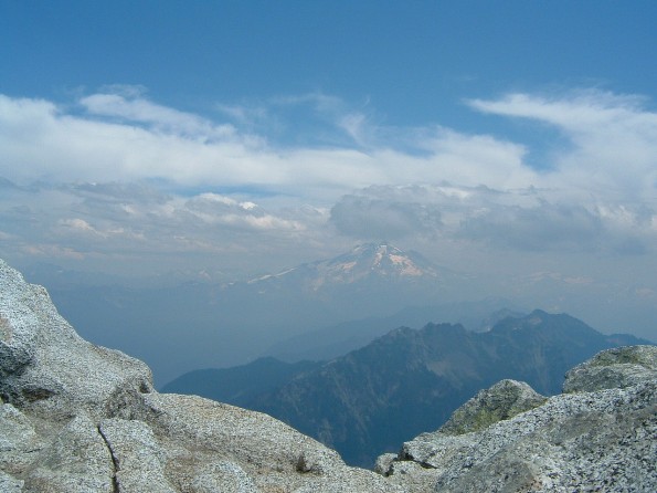
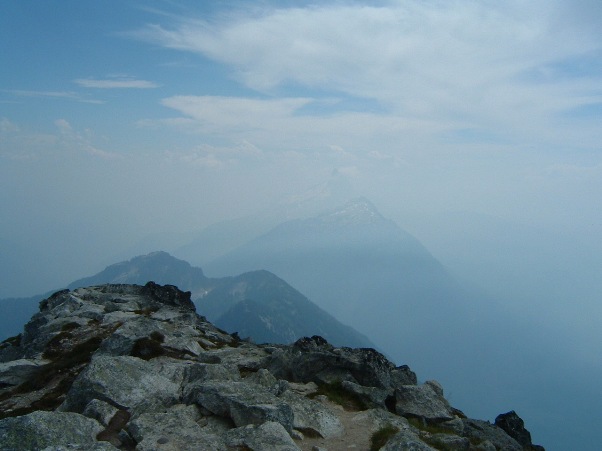
Glacier Peak
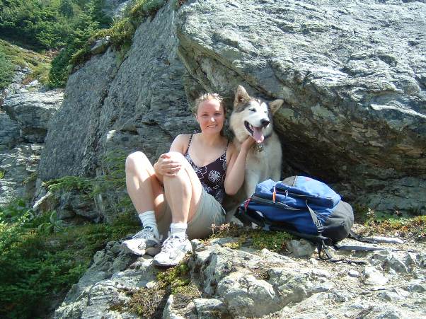
Popular summit rock for photos
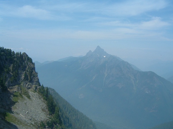
White Chuck Mountain
Dozer on the trail
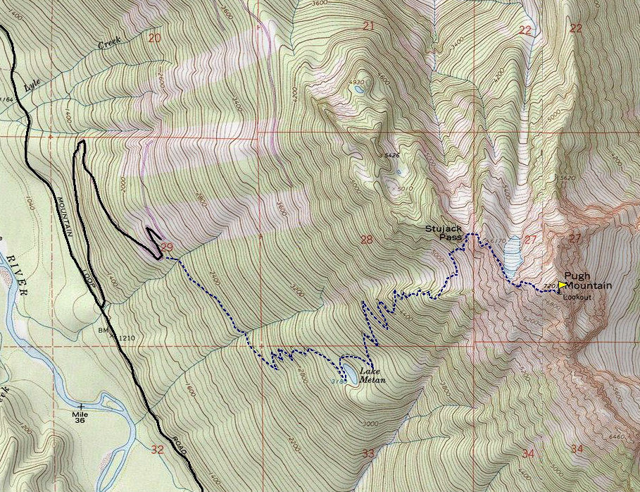
Lake Metan
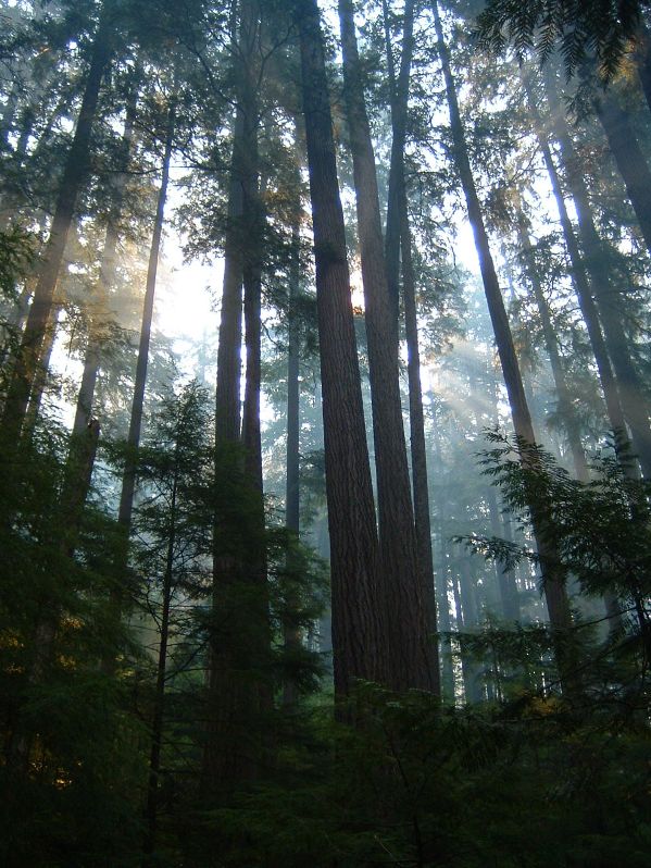
Forests along the trail
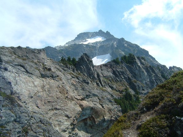
The summit from near Stujack Pass
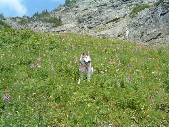
Dozer waiting for us
Smoke from a forest fire
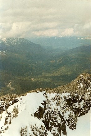
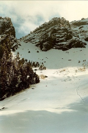
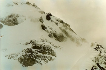
Route from Stujack Pass in Spring
Route up chute to Stujack Pass in the spring
During a spring attempt
Summit nap
Lookout History
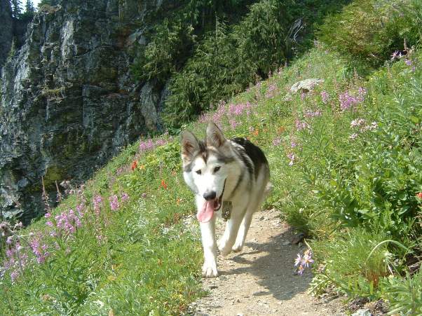



Wolf attack
Break


