Honeycomb Cliffs is a rather obscure peak on a ridge between Big and Little Cottonwood Canyons. This summit has year round access and gets visits from the local ski areas as they drop charges off the summit for avalanche control. This is also a quick climb as the elevation and distance is short. One could easily do it in spring before work when the sun rises early. If you have more time, a longer trip could be made by combining it with Mt. Wolverine or Reed and Benson Ridge.
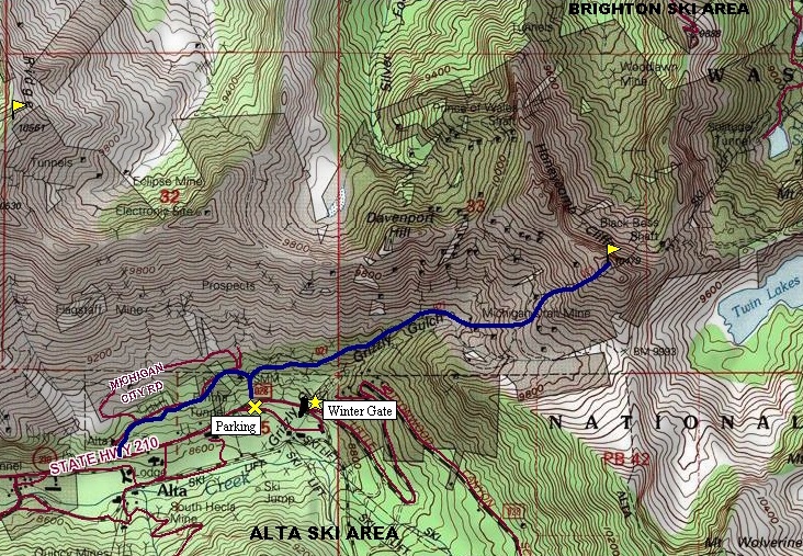
From the parking area, ascend the trail by foot or snowshoe. Quickly, you'll hit a road where you'll need to take a right, heading toward the peak. This old road will eventually become more of a trail as it goes into Grizzly Gulch. Continue ascending, passing old mining relics and tailing piles. The trail eventually heads the wrong direction so leave the trail and scramble up to the highest point. If there is snow, ascend up wherever it looks safe. There are collapsed mine shafts all over the place, so its a pretty interesting area to walk around. The east side of the summit is quite cliffy and maybe even honeycomb like?
Distance: 1.2 miles
Elevation Gain: 1,719 feet
Summit Elevation: 10,479 feet
Access: Paved
Honeycomb Cliffs
WillhiteWeb.com
Access:
Route:
Drive up Little Cottonwood Canyon to the Alta ski area where you hit the gate and booth to access Albion Basin. Park somewhere before the gate. In this area, there is a signed trail that cuts up to the road. Officially, the trail beginning is at the Forest Service Garage across from the Alta Lodge. Hike the road past some small homes as it works its way east toward Grizzly Gulch.
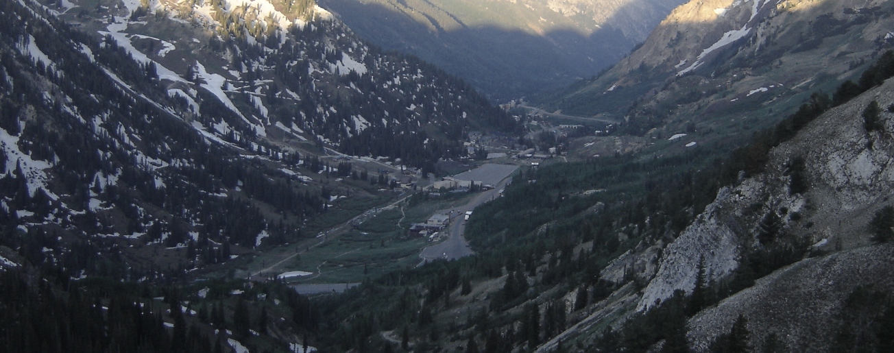
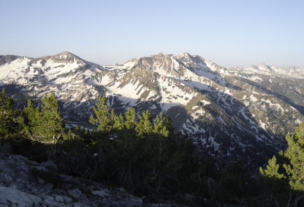
The Honeycomb cliffs
Mt. Raymond and Gobblers Knob
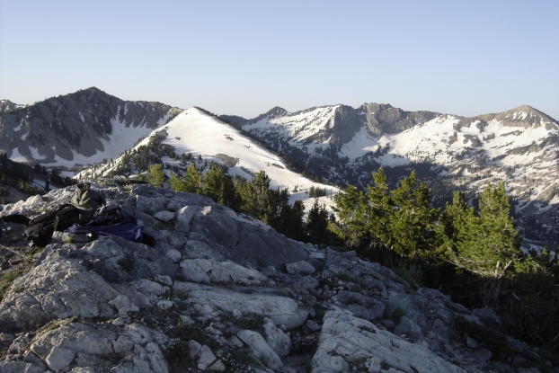
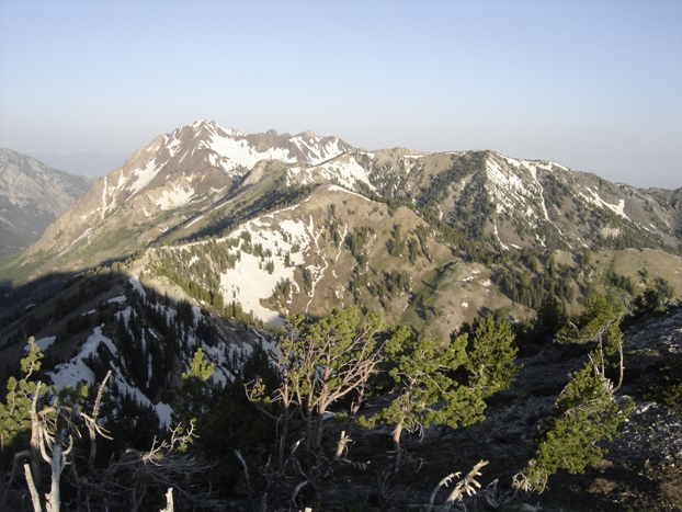
Looking west to Mt. Superior and Reed and Benson Ridge
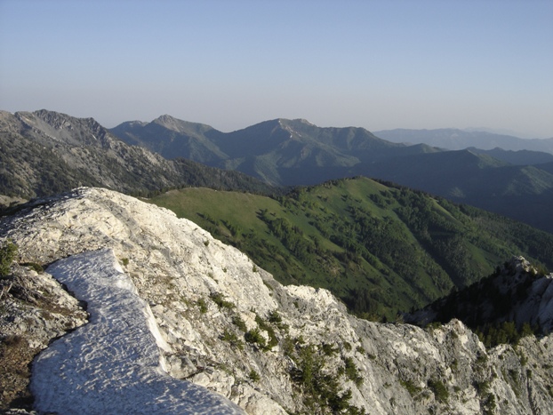
Looking southwest from Honeycomb Cliffs
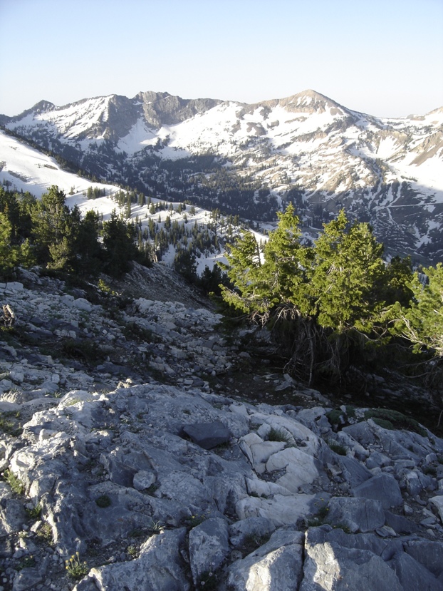
Looking toward Mt. Wolverine
Looking South



Alta Ski Area


