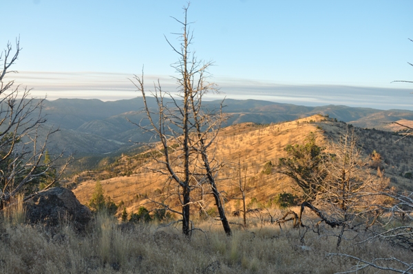
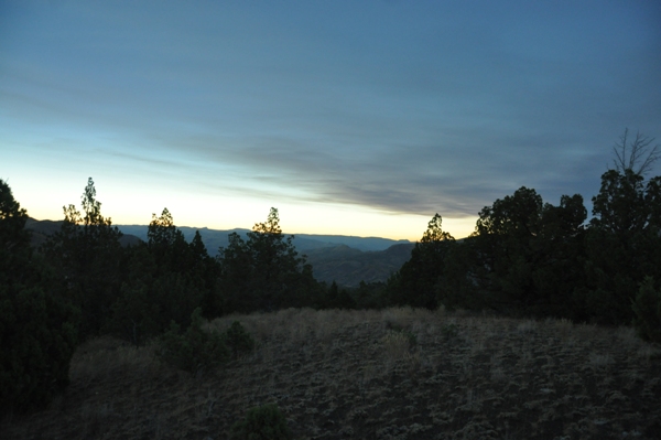
For most Washingtonians, the closest and quickest location to view the 2017 total eclipse was to head down to Oregon. Because our Pacific Northwest weather is notoriasly bad, the safest location in Oregon was east of the Cascades. I had planned to hike the Pacific Crest Trail to a location just north of Mt. Jefferson at 6,000 feet but a wildfire broke out a few weeks before threatening to smoke out the view. In fact, the planned location to camp was inside the fire closure area. So, we decided to just drive to Madras with the many other thousands of people and try to find a place in the mountains nearby. After touring the crazy encampments around Madras with hundreds of thousands camping together, we went east out of town. Turns out, most of the land east of Madras is private so we just kept driving east inside the area of totality. Eventually, we hit BLM public land and found a perfect primitive campsite in the Horse Heaven area. In the morning, a few hours before the eclipse, we hiked up Horse Heaven Mountain to watch the sunrise. From camp, it took less than an hour. We came down shortly after to pack up so we would be ready to drive out of the area once the eclipse was over. The eclipse was worth the effort and lived up to all the hype. Getting back to Seattle was nutz, I have never seen so many people on I-5 before, but we eventually made it home.
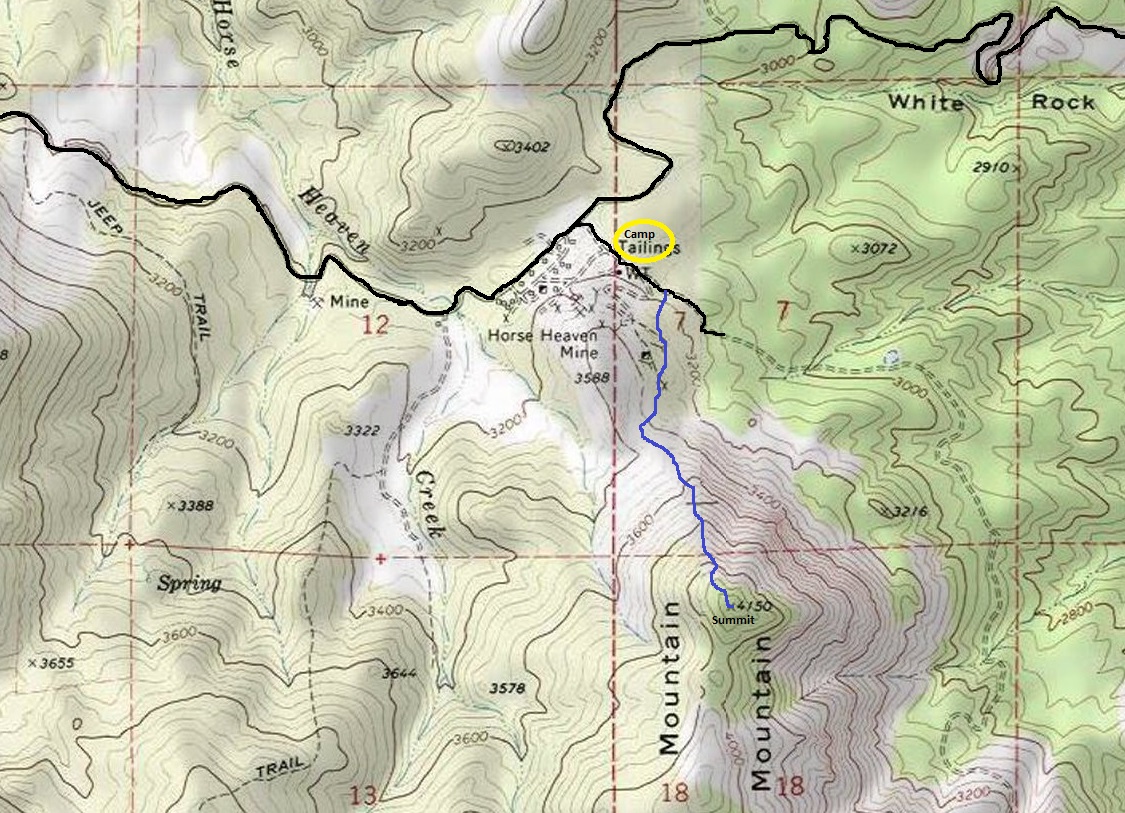
Elevation: 4,150 feet
Distance: 1 mile
Elevation gain: 800 feet
Access: Good gravel roads
Miscellaneous Stuff
2017 Eclipse Trip & Horse Heaven Mountain

Path of total solar eclipse
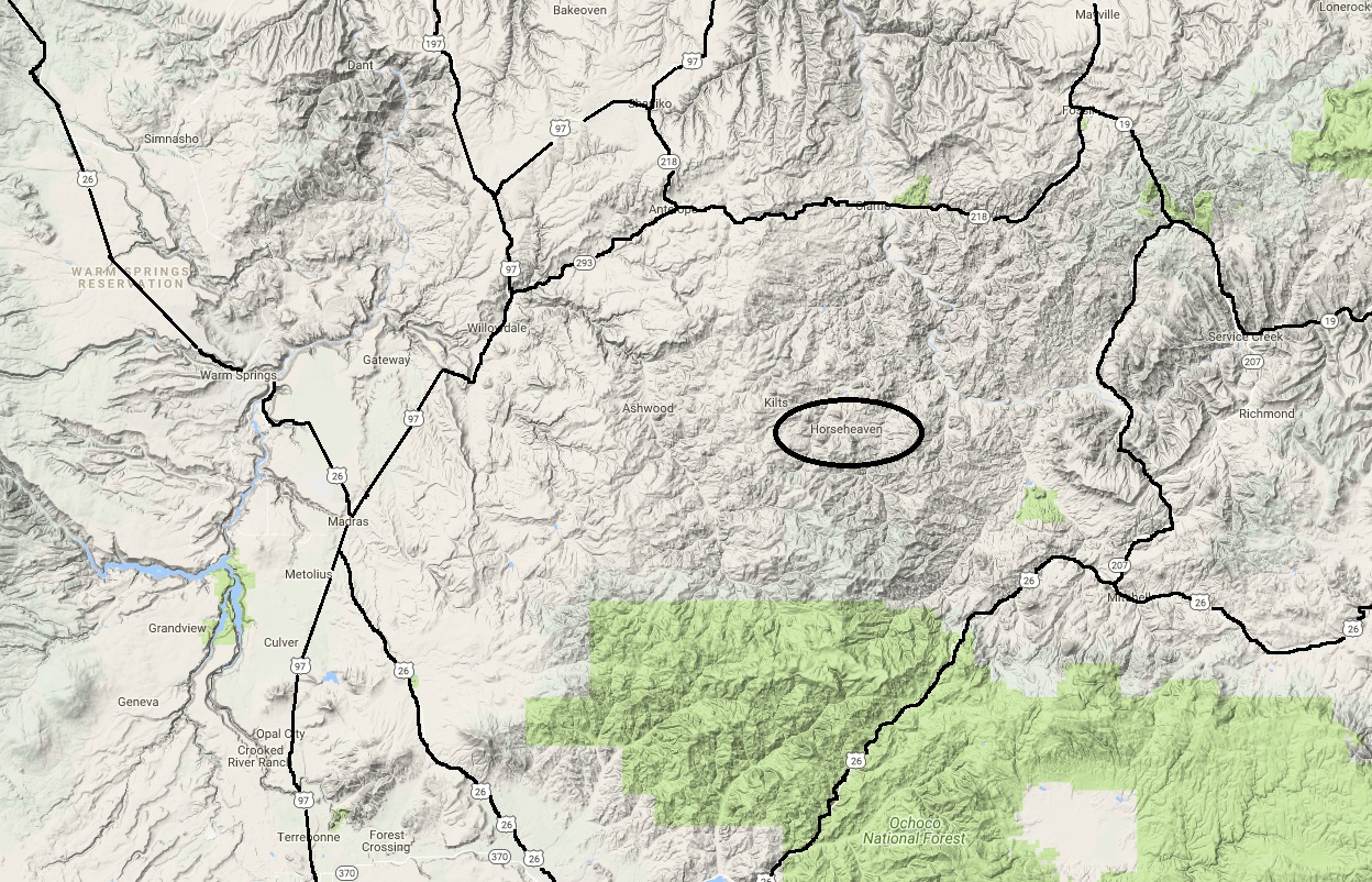
Our location east of Madras
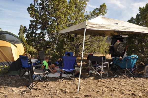
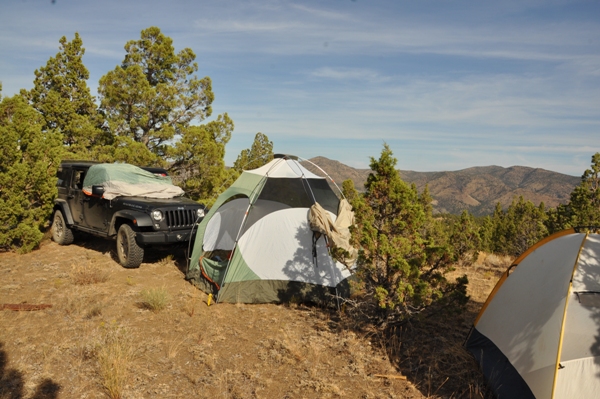
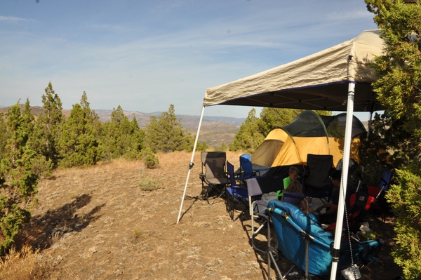
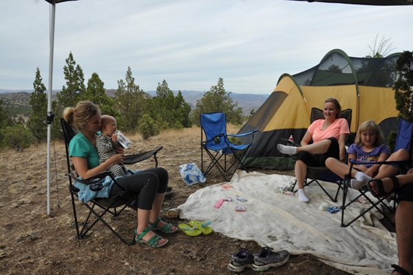
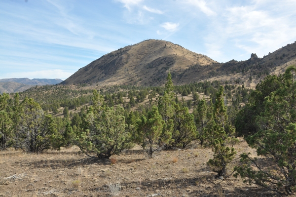
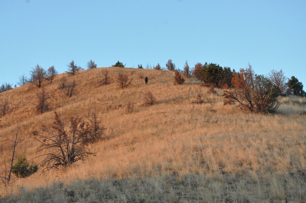
Horse Heaven Mountain from our campsite
Hike up Horse Heaven Mountain
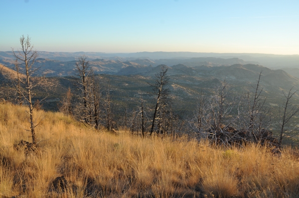
Looking north
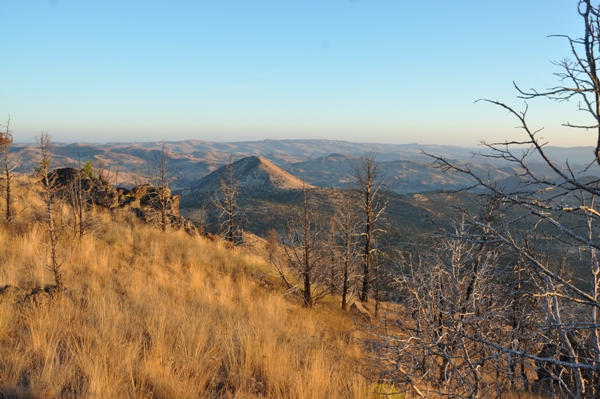
Looking east
Taken during the eclipse
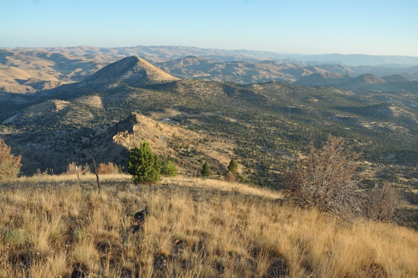
South from Horse Heaven Mountain
Looking northeast
In route


