
Beacon Rock Lookout
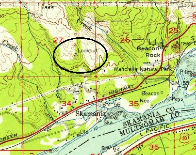
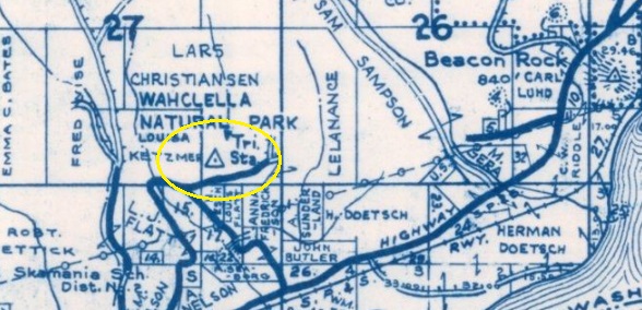
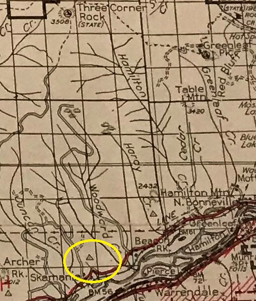
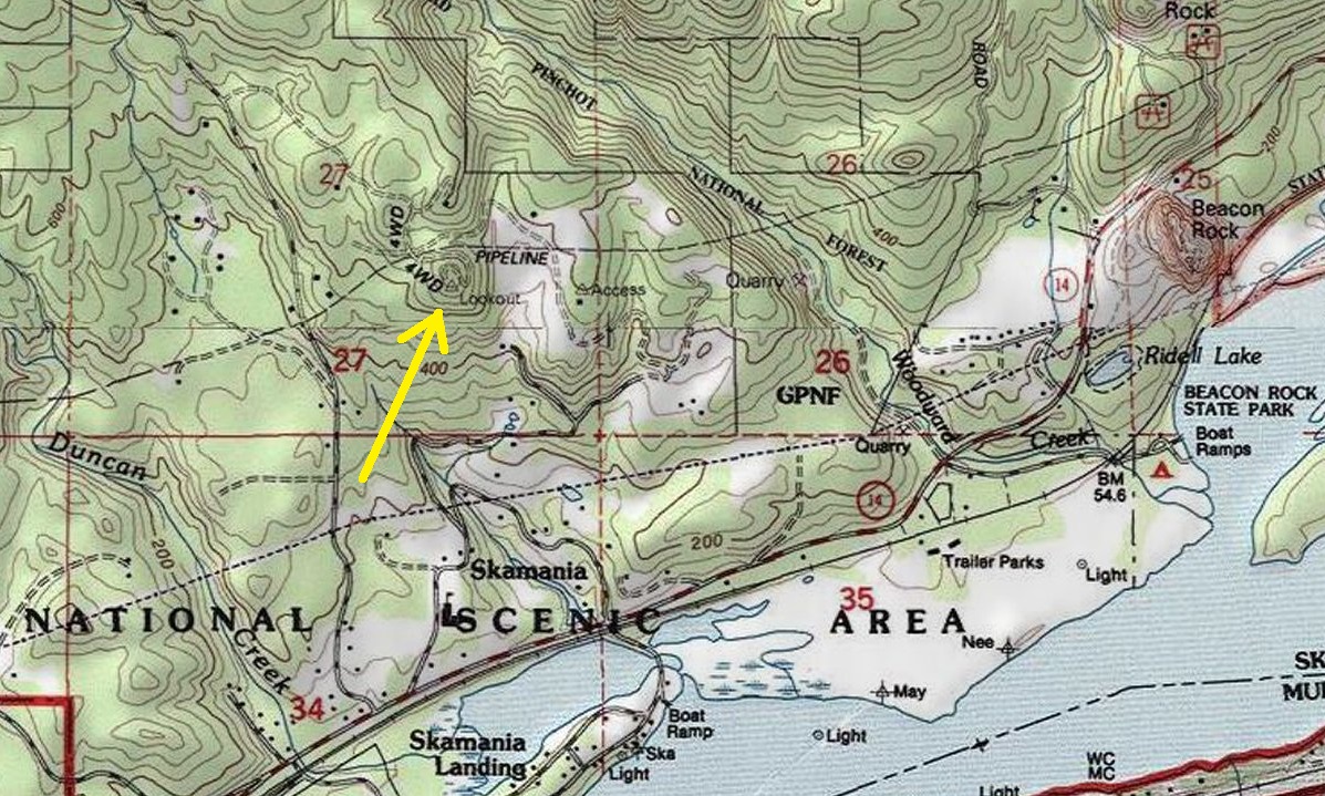
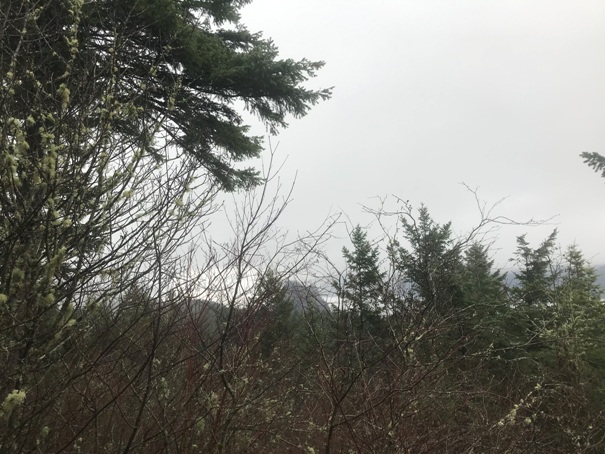
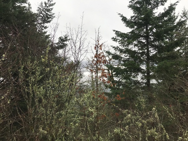
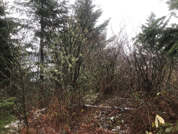
Presumably named after nearby Beacon Rock, this lookout site was a camp in the 1930s according to the Lookout Inventory. I haven’t found any evidence myself describing this location. The knob was visited by a survey party in 1901 when they placed a bronze benchmark disk into the bedrock, stamped “Lookout”. At that time, they said the hill was brush covered. Later survey parties in 1938, 1947 and 1956 said the station was fully timbered. Many USGS maps show a lookout here but this may be based on the benchmark being called LOOKOUT, not referring to the camp in the 1930s. The location and nearby roads are private property and should not be visited without permission. The landowner says when he purchased the property the brush had been cleared and the view was spectacular with views up and down the river. As pictures show, that view is now gone.
WillhiteWeb.com: Washington Fire Lookouts
Elevation: 730 feet
Private Property – Do not visit
County: Skamania County
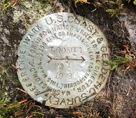
1938 directional benchmark pointing to main station mark (was under too much brush to look for)
Can just make out Beacon Rock in the center
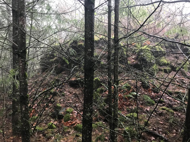
The highest point as described by the survey party, a pile of volcanic rock
Views now gone
Views now gone
Not shown on the 1940 Columbia National Forest
1956 Metsker showing it as a triangulation station
1954 USGS
Current USGS maps show Lookout but this is for the benchmark name


