Tombstone Valley
Coast Range
This is not your ordinary, average road trip. After flying into Whitehorse, in the Yukon Territory, you drive eight hours north, to just shy of the Arctic Circle. Once you leave Whitehorse, you pretty much leave civilization. There are no grocery stores, and very few services, there is even a giant road sign proclaiming you are leaving the 911 coverage area! It starts with a 298 mile drive through a monotonous boreal forest, along the Klondike Highway, a mostly paved road, with huge construction zones. Loose gravel caused three rock chips to our windshield, and we got a $1000 bill from the rental company. Then its onto the Dempster Highway for 58.5 miles to Tombstone Mountain campground. We collected our permits from the interpretive center, but unlike other ranger stations where they incessantly try and warn you about every possible thing that could kill you, you simply sign a liability form and some other paperwork and you are good to go. I kept thinking, wait for it, wait for it, the lectures are coming but they never did. I guess they figure if you make the effort to come all the way here, you know what you are doing. The area is so remote that the rangers must live in little cabins next to the solar powered info center. There is nowhere here to get any supplies, and not much in the line of assistance, you are truly on your own here. There are three designated camps on this trail, at Grizzly, Divide and Talus Lakes. Each has ten tent pads that need to be reserved in advance, a cooking shelter covered by a tarp, an outhouse, grey water disposal bin and bear lockers (although bear canisters are also mandatory).
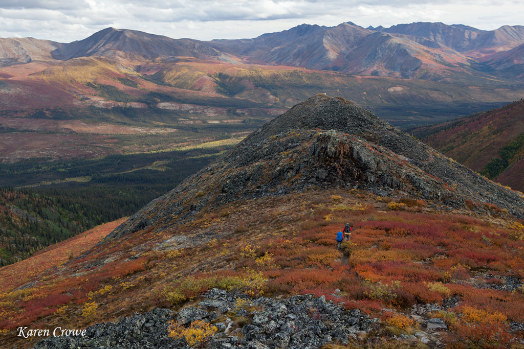
The Dempster Highway from the trail to Grizzly Lake.
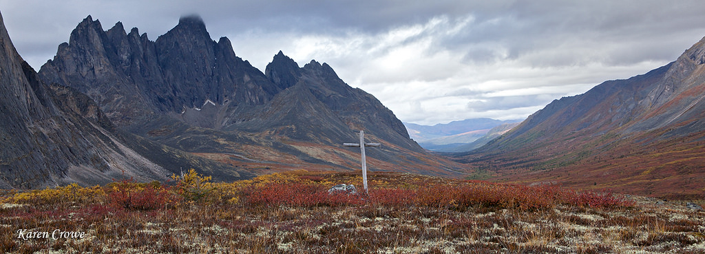
The titular grave marker.
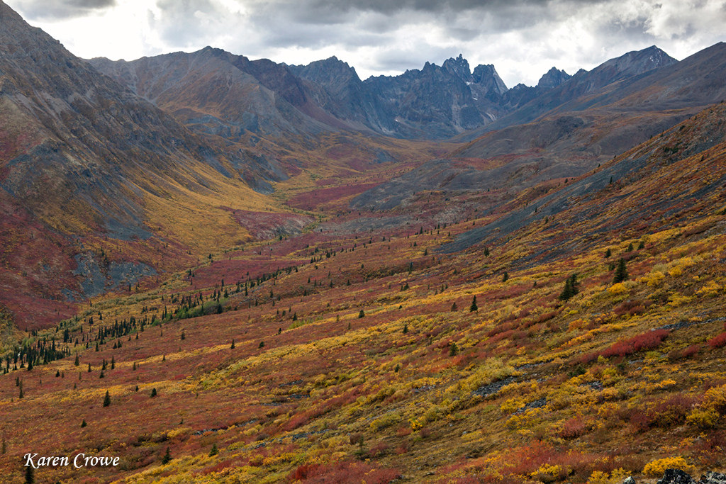
The approach to Grizzly Lake
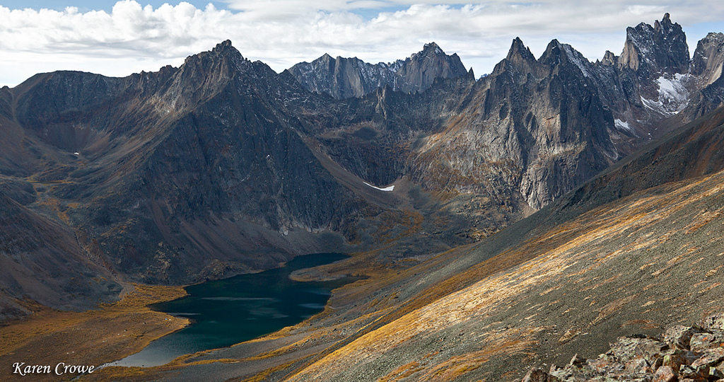
Grizzly Lake
The first 30 minutes of the trail follows the river, easy, flat and lush - unless there is blow down. While this whole trip is mostly on trail, the path is fraught with lots of ankle twisting talus, loaded with slick, wet lichen. Great care must be taken with every step, and its tougher than the stats suggest. It did not take us long to coin the phrase Yukon Miles. On the return we decided that instead of descending back down to Grizzly Lake, we would take a high route along the ridge and rejoin the trail farther along. The route was just as miserable as the rest of the trip had been. Side-hilling on the rock was uncomfortable, and we ended up in a bit of a cliffy situation. We paused for a moment to pick a route down, touched a boulder, and all of a sudden it let loose and bounced down the slope in an impressive demonstration of gravity. GULP! We basically rode our way down the lose rock fall and I really wanted to kiss the real trail when we finally joined back up with it. I hated that trail so much on the way in, who knew I'd be so happy to be back on it!
Trailhead to Grizzly Lake: 7 miles, 2,615 feet gain
While the first two switchbacks are defined, the rest of the trail disappears as the hill slides with you as you walk, made worse by the fact it was completely mucky rock. All I could think about was how difficult it was going to be coming back up it in a few days. The distance to Divide Lake was not that far but we were feeling like we had been to battle. The return was incredibly difficult, with every step we would slide backwards, it was a very taxing climb. The tent platforms were terrible because they were not big enough for the whole tent, but also you could not peg your tent in properly. They had metal hooks that you could sort of jam your pegs into, but they were not always in good spots and we had a few pegs jammed into the slats between the boards. We did our best to angle it to fend off the wind coming off the lake, but it was not secured as nicely as we would have liked, this would come into play the next night. We also noticed the wind whipping off the lake was coming straight through the kitchen shelter, why was the tarp angled this way? The storm came out of nowhere, clawing its way over the peaks, pounding us with 50 mph winds. Remember the canvas tarp I mentioned earlier that was poorly placed? It was in the perfect position for blocking the storm winds and hail which came down the valley and not across the lake like they had been the day before.
Grizzly Lake to Divide Lake: 3.7 miles, 1,404 feet gain to Glissade Pass and 1,129 foot loss
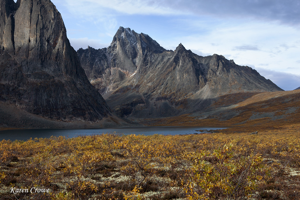
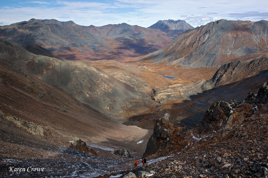
The route to Divide Lake from Glissade Pass
Divide Lake
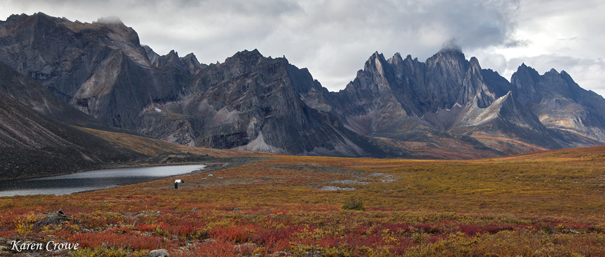
Talus Lake on left, Tombstone Mountain on right
Divide Lake to Talus lake: 3.7 miles, 4,36 feet gain


