
Burton Peak Lookout and Cascade Ridge
WillhiteWeb.com
In 1929, a newspaper article said there were plans by the Forest Service to build a lookout on Burton Peak this year.
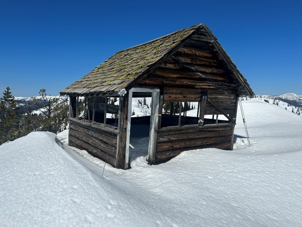
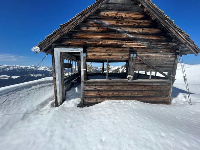
In 1933, a log and frame 14 by 14-foot cabin was built (a Nez Pierce L-5). The lookout has been abandoned since the late 1960s.
Lookout History:
Elevation: 6,844 feet for lookout, 7,043 feet for Cascade Ridge
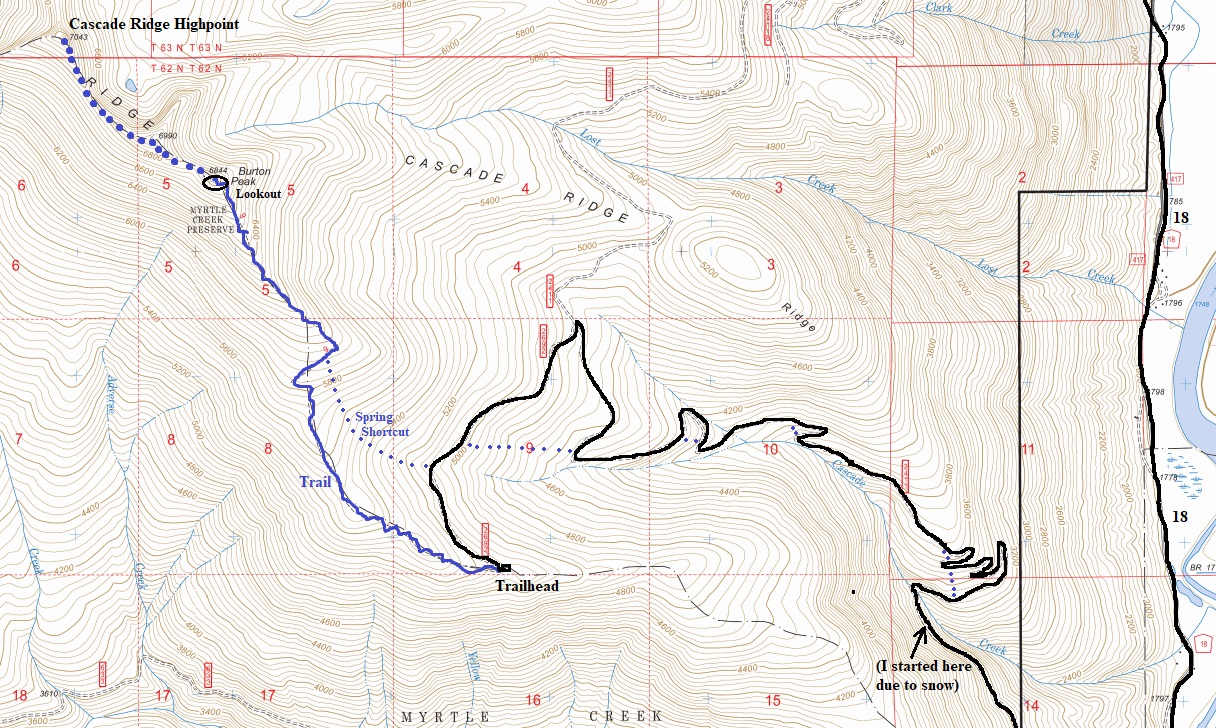
Hiking Distance: 2.5 miles one-way
Elevation Gain: 1,500 feet to lookout
Prominence: Lookout Site: 44, Cascade Ridge 1,003 feet
County: Boundary
Access: Good Gravel and dirt road
From old Highway 95 east of Bonners Ferry, go north of the Kootenai National Wildlife Refuge headquarters about 1.3 miles on the West Side Road. Turn left on Forest Road 633 and then right onto FR 2411. The lower end of these roads melts out early in spring but reaching the end of FR 2411 at the trailhead does not melt out until late spring. Plan on hiking some road if in early season.
Access:
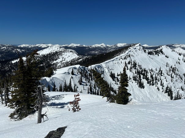
The route is straightforward, just follow the trail or if snow covered, just up the hill onto the ridge until you reach the lookout. Hiking beyond the lookout is nice to point 6990. The Cascade Ridge highpoint is further at point 7043, but the views there are not any nicer than 6990.
Route:

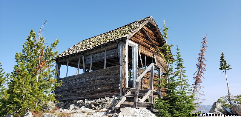
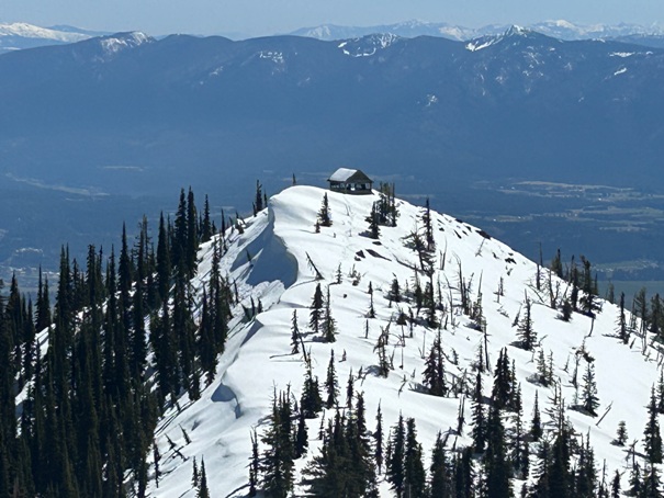


Burton Peak Lookout from point 6990
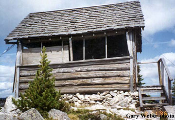
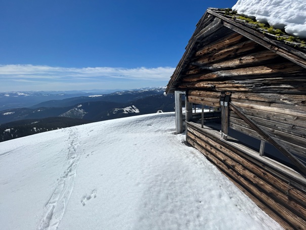
Burton Peak Lookout in April 2023
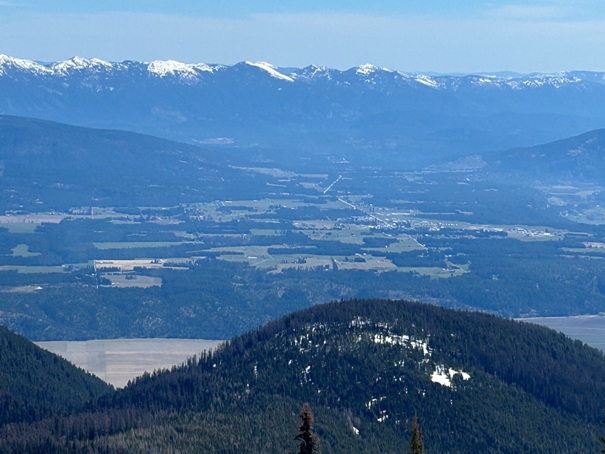
Bonners Ferry
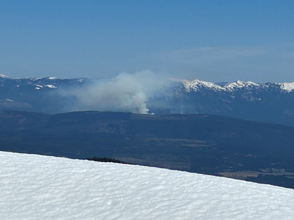
Fire
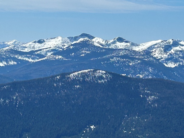
Looking at Cascade Ridge highpoint from point 6990
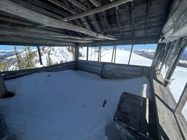
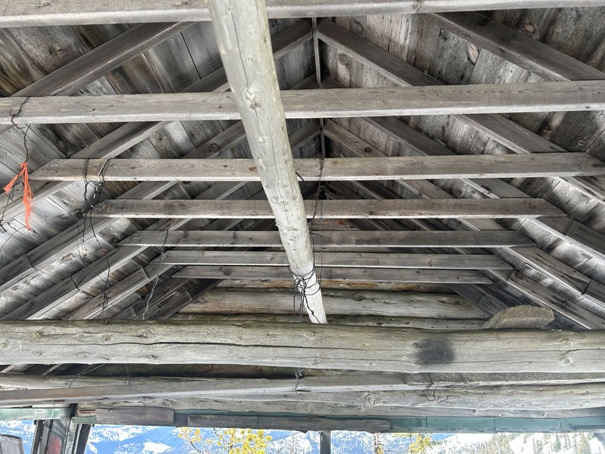
Inside Burton Peak Lookout
Looking south
Looking NE to some mountains far into Canada
Looking East at the mountains NE, E and SE of Bonners Ferry
North Idaho high peaks
Roman Nose
Lookout roof 2023
Year 2019
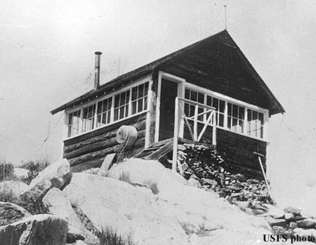
Burton Peak 1938


