Rathdrum Mountain
Rathdrum Mountain towers above the town of Rathdrum and is visible from most points in the Post Falls and Hayden regions. Much of the lower half of the mountain is owned by the city of Rathdrum and is becoming a hiking destination. The upper section of the mountain is owned by a timber company but I did not see any signs prohibiting entry.
WillhiteWeb.com
Elevation: 5,003 feet
Hiking Distance: 3.5 miles one-way
Elevation Gain: 2,500 feet
Prominence: 1,283 feet
Access: Paved Roads
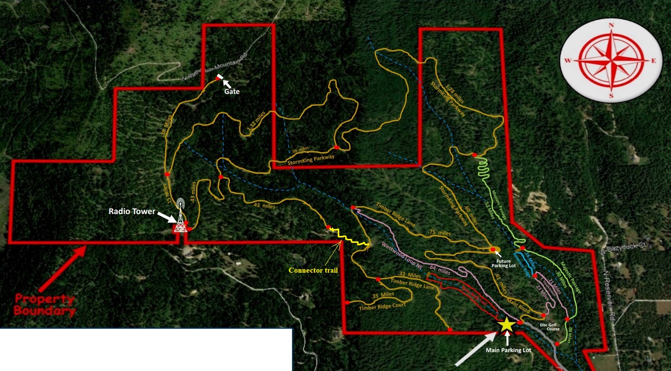
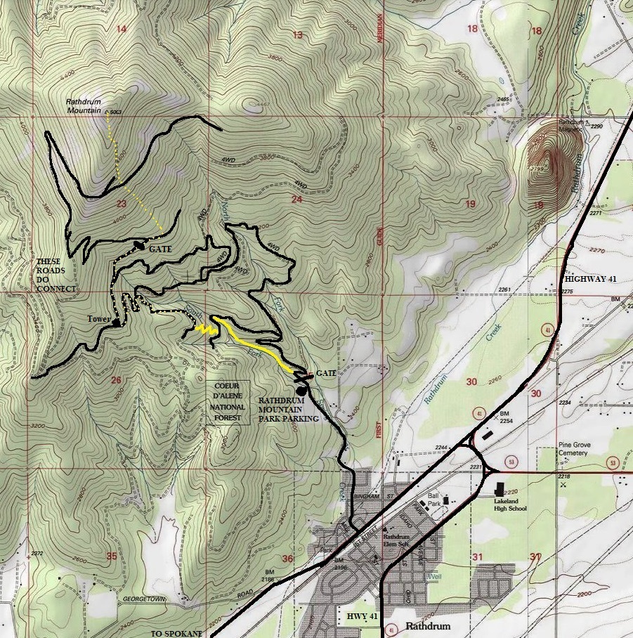
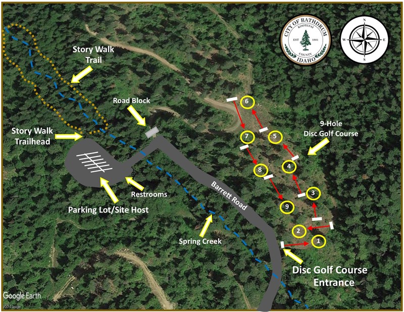
Just follow directions on your phone to Rathdrum Mountain Park. At the north end of town is Bingham Street, follow to Oneida and then Barrett Drive. In summer, there is a big (MAIN) parking lot (see maps below), in winter, parking is limited to just a few cars in a plowed area. A newer parking lot is planned higher up.
Access:
I did this in winter so my route shown on the map will be different than summer. The summer route is reported to be mostly roads except near the top where the road comes up short, so there is a short off-trail section. From the entrance to the parking lot, take the Westwood Loop Trail. From the upper parking area, take the Timber Ridge Lane. Both lead to the connector trail that gets you to the upper road system (see maps below). Once on the upper park roads, just follow them switchbacking up to the parks highest boundaries. Now follow logging roads or in winter, just point your snowshoes toward the summit.
Route:

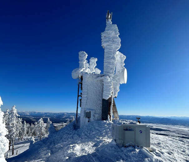
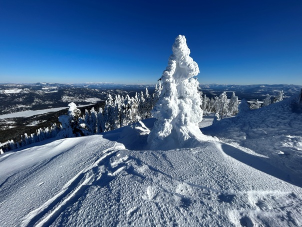
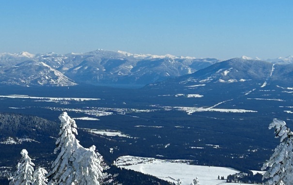
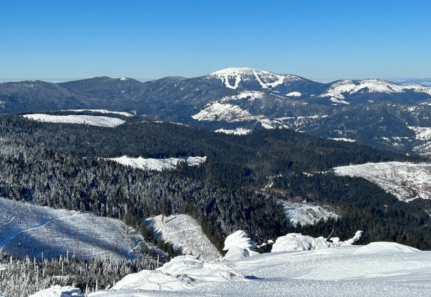
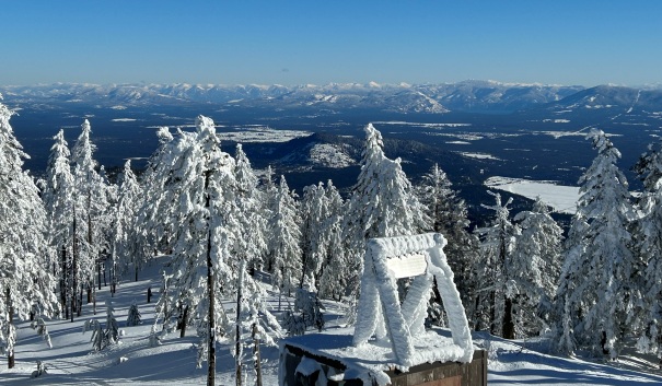
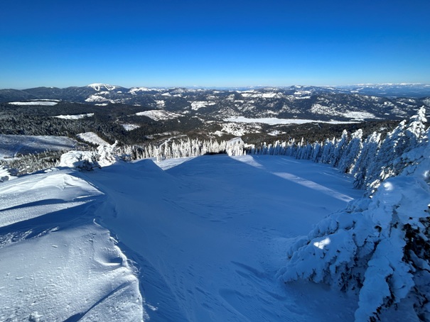

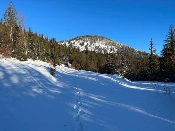
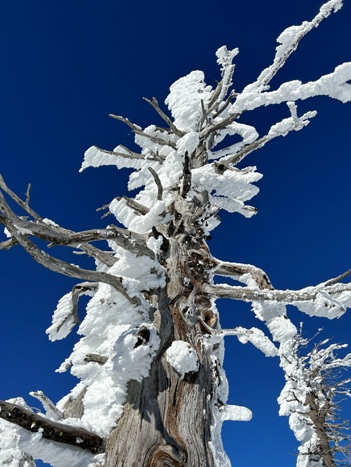
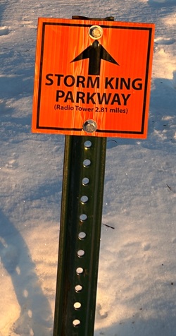
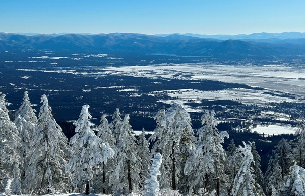

In route to Rathdrum Mountain between the tower and upper park gate
Lake Coeur d'Alene with Tubbs Hill in center
Looking SE toward Coeur D'Alene and Mica Peak on the right
Looking NE toward Lake Pend Oreille area
Lake Pend Oreille area, Bernard Peak on right of lake, Cape Horn Peak on left of lake
Snag n ice
Looking west to Mt. Spokane
Looking North
Looking NW
Looking to the Spokane Valley
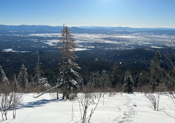
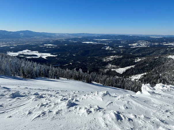
Views on the way up
Looking NE
East to Hayden Lake
Rathdrum Mountain Park trail map
Rathdrum Mountain Park trailhead map
At the entrance to the parking lot before crossing Spring Creek, take the Westwood Loop Trail (new, not shown on the map). This takes you up to a road. Turn left on the road and go to the first big bend our of Spring Creek drainage and find the connector trail.


