Mountain top trails are usually full of day hikers looking for a quick ascent to a spectacular view. Because of the length and quality of the access road, this trail is an exception. Plan on seeing few people and having the summit to yourself.
Summit Elevation: 7,963 feet
Hiking Distance: 2 miles
Elevation Gain: 1,600 feet
County: Chelan
Access: Gravel Roads
WillhiteWeb.com
North Navarre Peak
Access:
From Chelan, drive 6.5 miles on the Chelan-Manson state highway 150 towards Manson. Turn Right onto Wapato Lake Road and drive 2.3 miles to Upper Joe Creek Road for 4.2 miles where the road becomes the Grade Creek Road. Continue roughly 27 miles on Grade Creek Road #8200 about 2.5 miles past the South Navarre Peak campground.
Route:
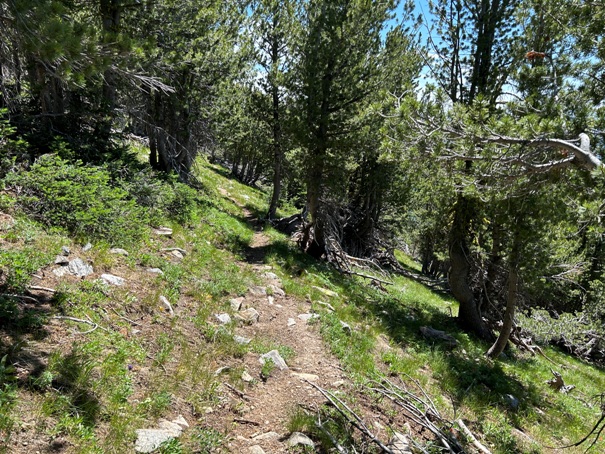
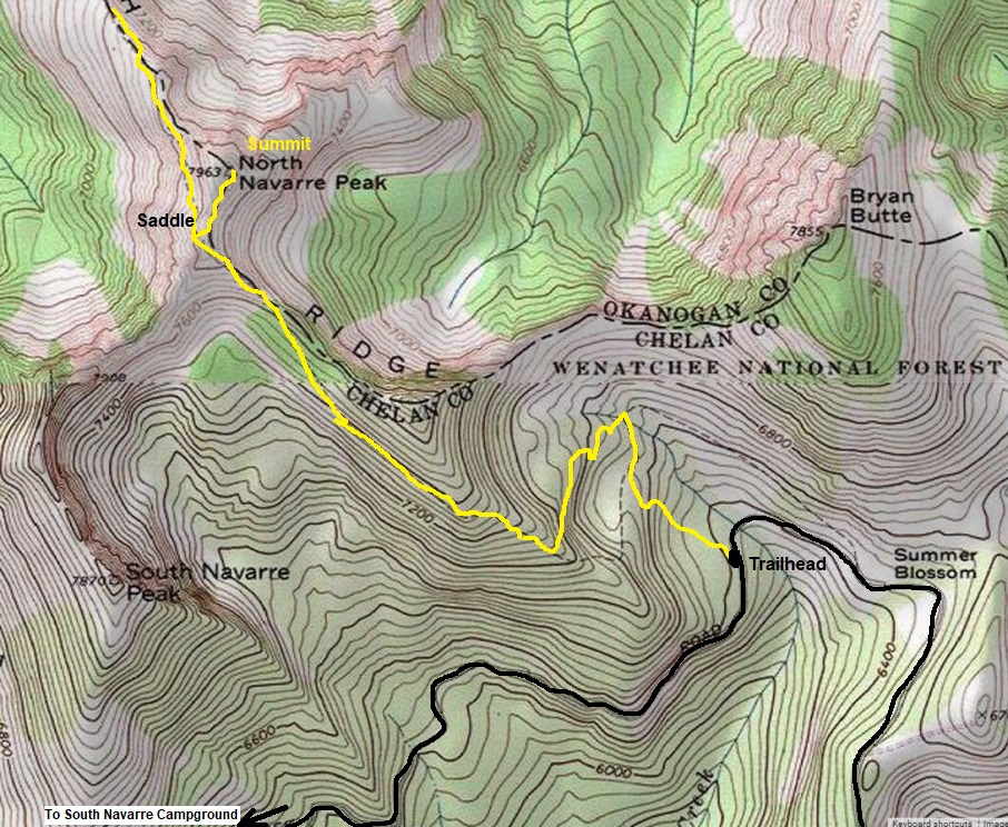
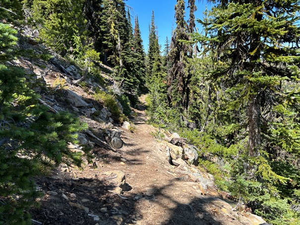
Just follow the trail to the summit ridge. Once there, follow easy terrain up to the top, going around any clumps of bushes. The lack of a boot path in this final section is a testament that few go here even though it is quite accessible.




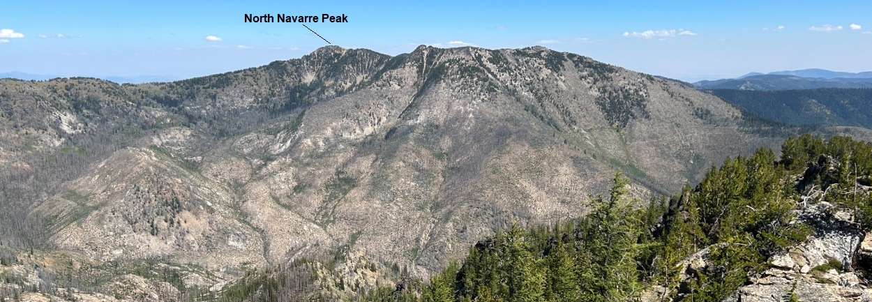

From Uno Peak
From the North
Looking North
Looking West
Looking East
Looking Northwest
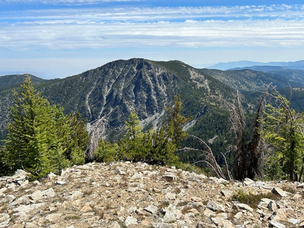
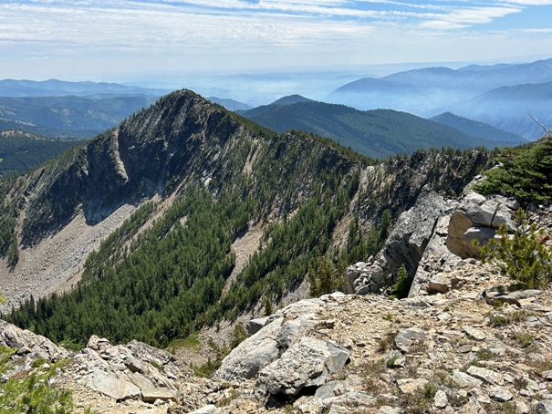
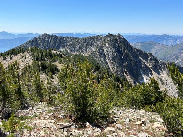
South Navarre Peak from the North Peak
At the ridge where you leave the trail
Bryan Butte
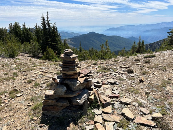
Smoky Chelan area to the south
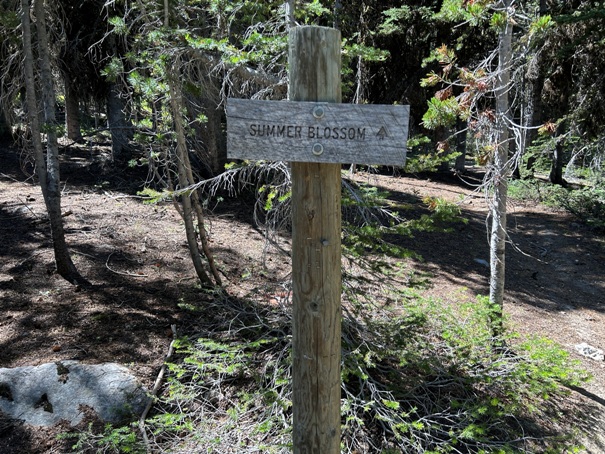
Summer Blossom Trailhead


