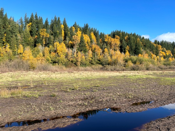
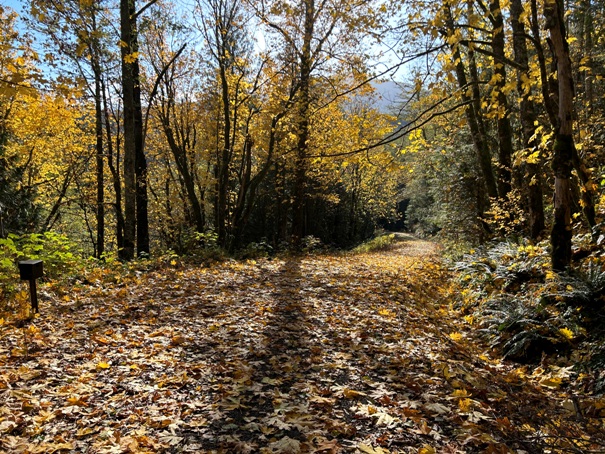
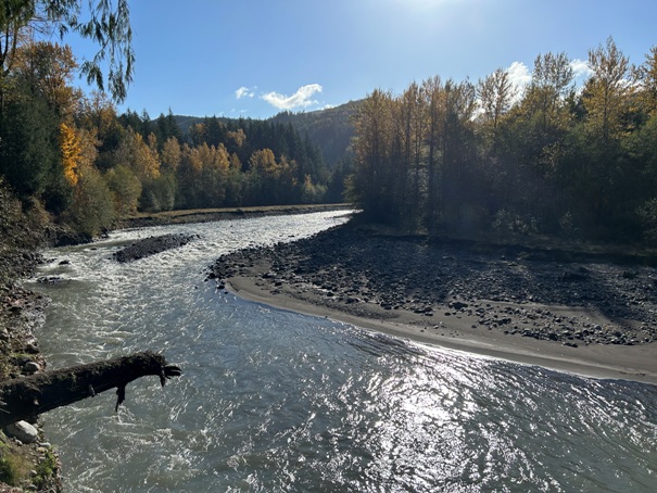
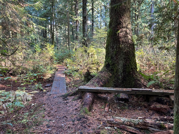
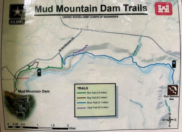
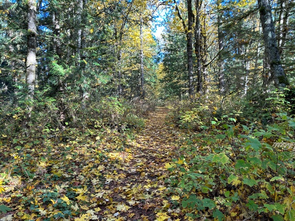
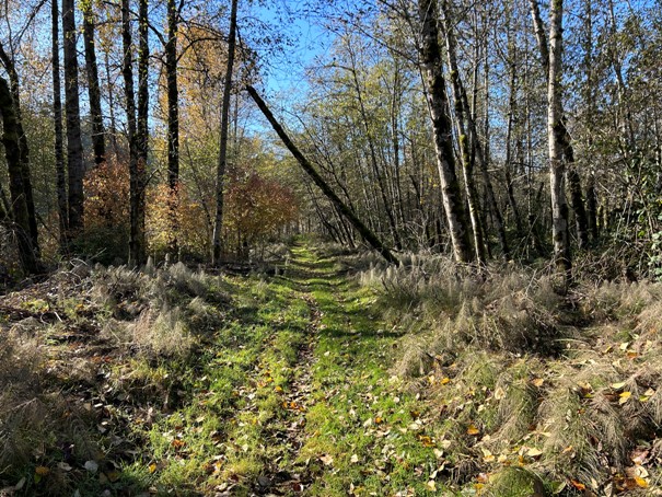
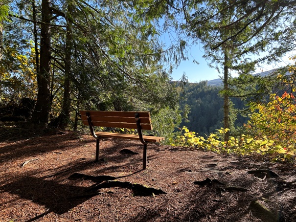
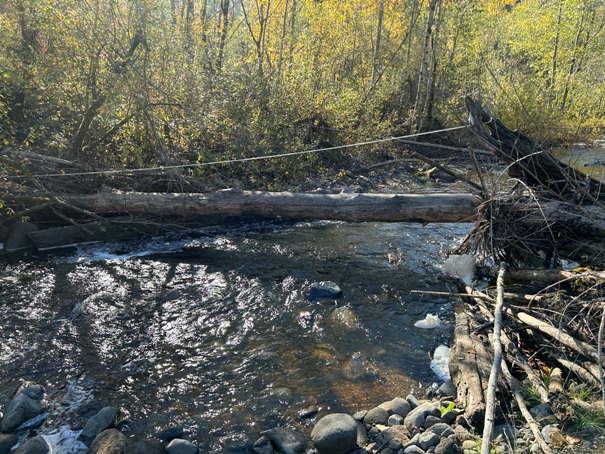
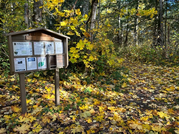
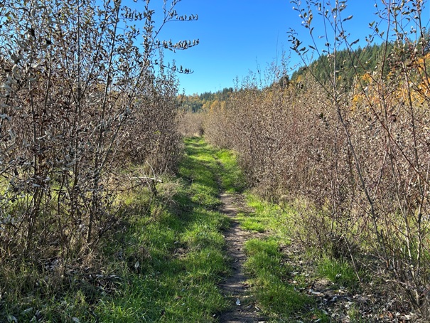
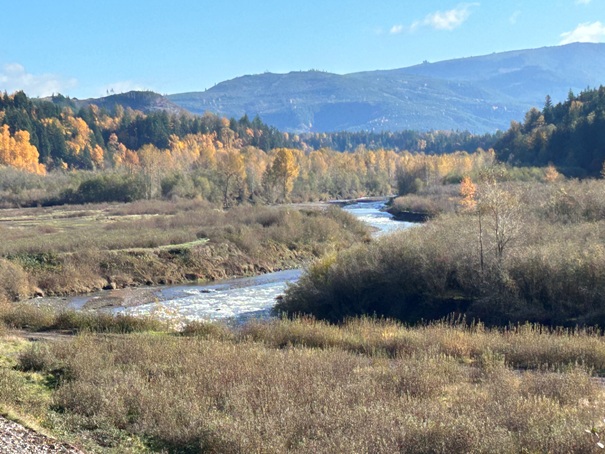
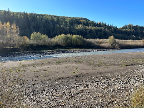
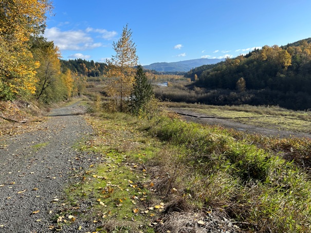
For a real hike, combine these two trails to get in 11 miles of hiking. Start at the Mud Mountain Dam Park. The start of the trail is right at the entrance gate. Park inside the park as long as you are getting back in time before the gate closes for the night. If not, a trailhead is just back the road several hundred yards. The 2 mile Rim Trail follows the rim over the White River with occasional views of nearby mountains. It is mostly easy walking and open to hikers. When reaching another kiosk at 2 miles, this is where the equestrian parking access merges in. Keep hiking and the trail is now the 3.1 mile River Trail. It wanders down through mature forest with a loop option. The trail gradually opens into mudflats along the banks of the White River. Here you find wide open scenic views, wildlife and access the White River. The River Trail is open to bikes and horses. Keep going, staying close to the river keep and eye out for the trail marker signs. Things get interesting once you are back in the forest. Over the years, there have been several washouts and the trail has been rerouted many times. The Scatter Creek crossing hopefully has a log crossing or it will be a ford. A section of trail goes through stickers that grow quickly; hopefully the trail has been maintained for you. Push through; the trail improves near the end. It abruptly ends at a road and toilet. For a good finish, take a right on the road and follow several minutes to road end at the scenic Fish Release Site.
WillhiteWeb.com
Mud Mountain Dam Rim and River Trails
Access
Just take Highway 410 up out of Enumclaw, and within a few miles, see the giant sign on the right pointing to Mud Mountain Dam. Follow the paved road to the Mud Mountain Dam Park. Along the way are several mid-access points to the trail.
Hiking Distance: 5.5 miles one-way
Elevation Gain: 700 feet total
Access: Paved Road
No fees to park
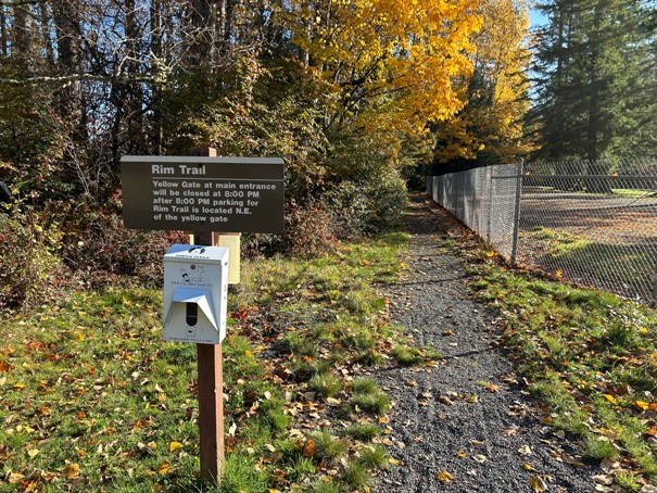

Trailhead at the park entrance just outside the fence and gate
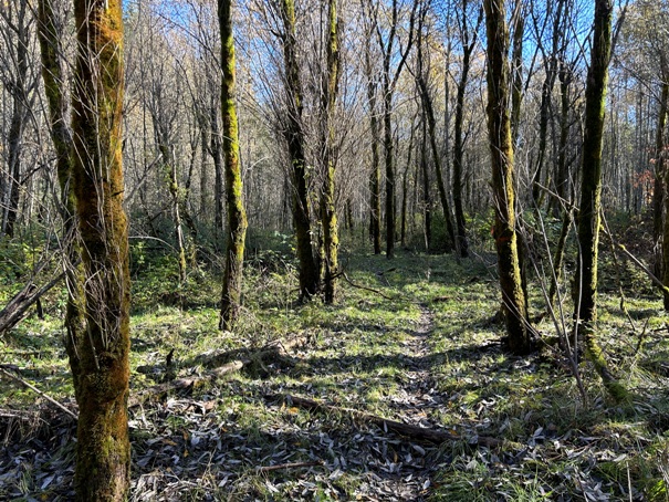
On the loop section of the trail
At the trailhead 100 yards back from the park gate
Scatter Creek crossing with log and rope for help
Dropping down to the river and flood area
White River fish release site
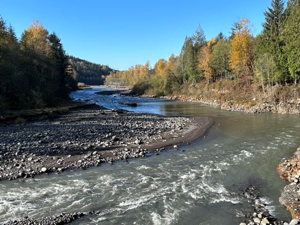
White River about a quarter mile down from the fish release site
Trail map from Corps of Engineers. There was once a second bluff trail but it has been removed from the map now and the trail is blocked on site.


