Selah Butte
Elevation: 3,024 feet
Hiking Distance: 1.4 miles one-way
Elevation Gain: 1,800 feet
Prominence: 764 feet
Access: Paved
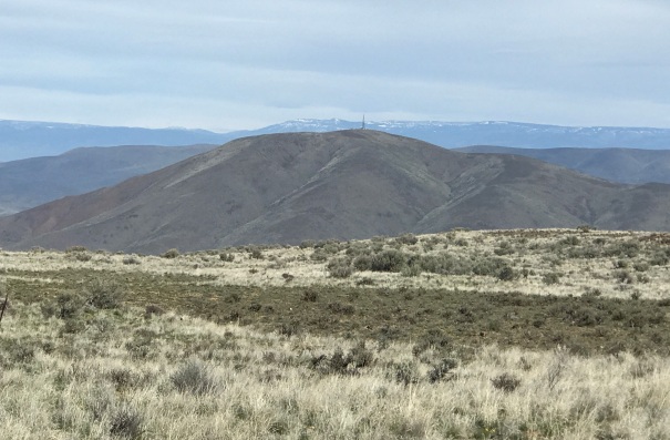
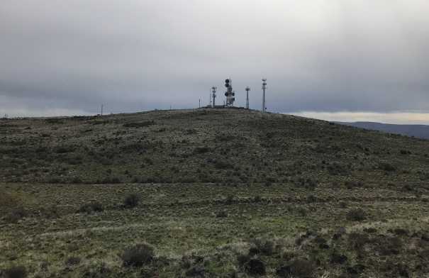
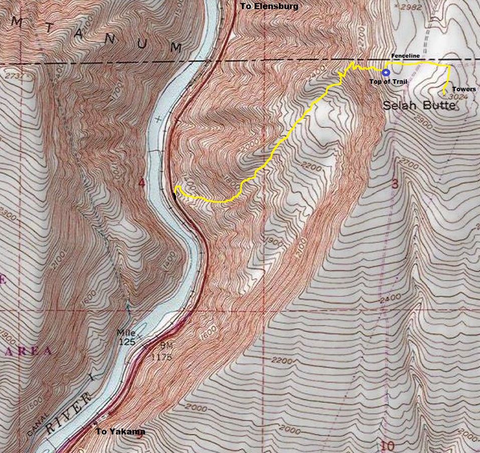
There is a short but steep unofficial trail to the top of Selah Butte. Well, technically the trail does not reach the summit but does go to the best viewpoint. The high point is full of radio towers about a quarter mile further from the end of the trail. For whatever reason, the public agencys (BLM, DNR, DOT) ask people to not use this trail but everybody does, and should.
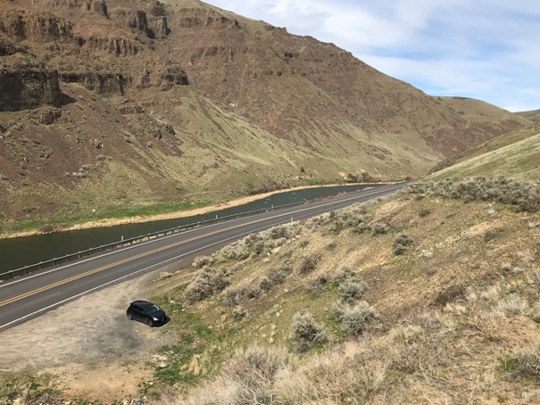
The best access is Exit 26 of US Highway 97. This puts you onto Hwy 821 where you just go north into the canyon. Finding the correct pull-out is key. It is 0.1 miles northwest of the 4-mile marker on Highway 821. It is small and comes up quick around a corner.
Access:
WillhiteWeb.com
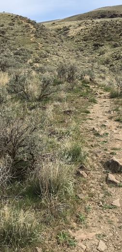
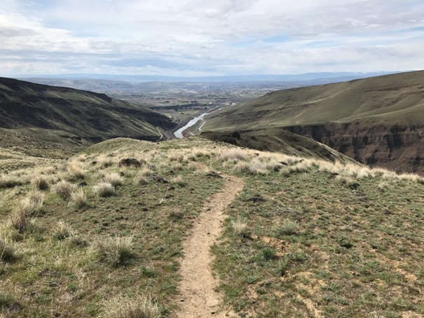
The trail is on the left out of the parking lot (seeming to go the wrong way) but it arcs around to the bluff above the parking area. Then, just follow the trail to the top. At the trail end on the summit ridge, you can hike north to an old fenceline and find a faint road that will lead you to the communication towers in the distance. But, the view is not that great from the very top among the towers.
Route


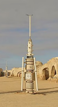
Tatooine Water Vaporator
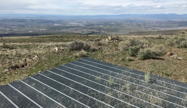
Parking area along Highway 821
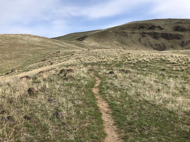
First view of the upper half of the climb
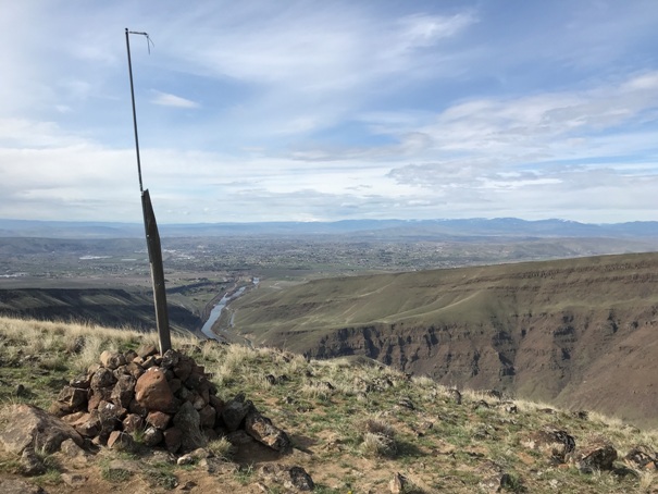
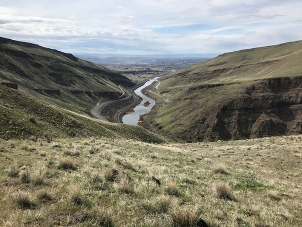
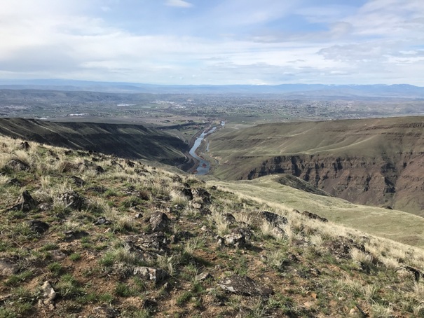
Looking out of the canyon to Yakama
Looking out of the canyon to Yakama
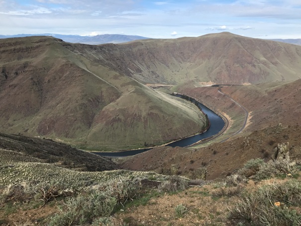
Yakima River
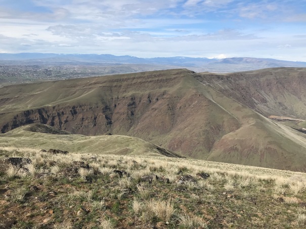
The two main points across the canyon from Selah Butte
Mt. Adams in the far distance
Yakama River flowing out of the canyon into Yakama
End of the trail marker at the top of the canyon
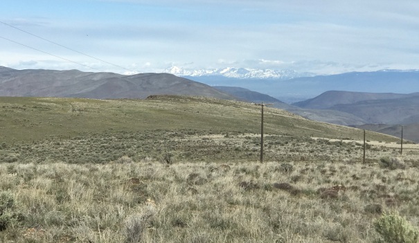
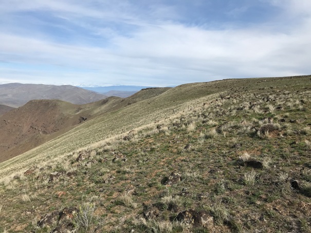
Looking north from the end of the trail
Baldy Mountain, the other good hike on the East side of the canyon
The Teanaway and Enchantments under snow far to the north
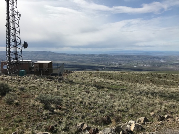
A heli-pad at the communication towers with the Yakama Valley below
The towers from near the end of the trail
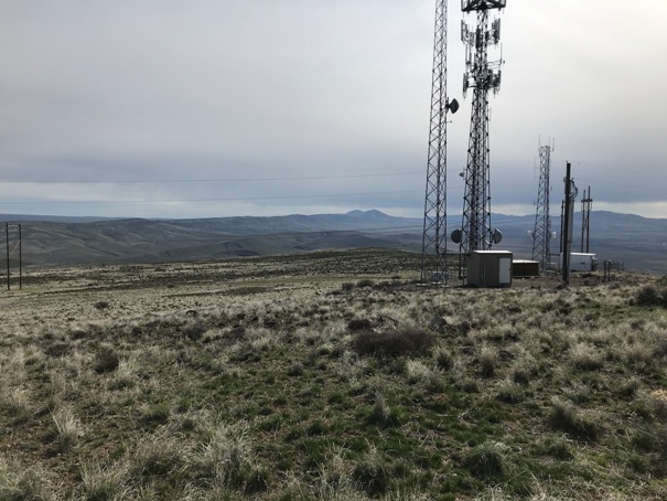
View from the towers
View from the towers


