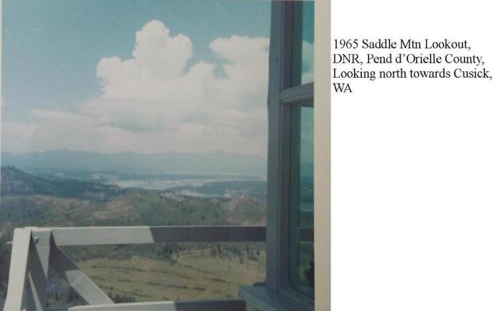


Saddle Mountain Lookout Site
In June 1944, a short-wave radio was installed at the lookout site. It is unknown what structure was there in 1944. The lookout in 1944 was veteran firefighter Charles Heppe. In fall of 1944, a road was partly completed to the lookout site.
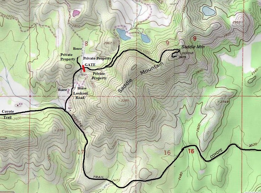
In 1945, a 30 foot pole tower with L-4 cab was built. The lookout was again Charles Heppe. The road was completed to the lookout site. It was described as follows: The road to the lookout takes off from the Coyote trail at the Krautslager place and the summit is about seven miles from town. The road has steep grades and is for one-way traffic, but the state forestry department plans to widen it this fall after the fire season.
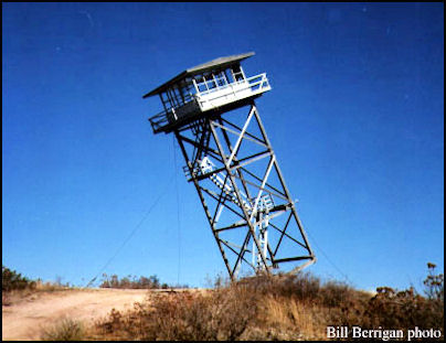
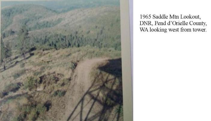
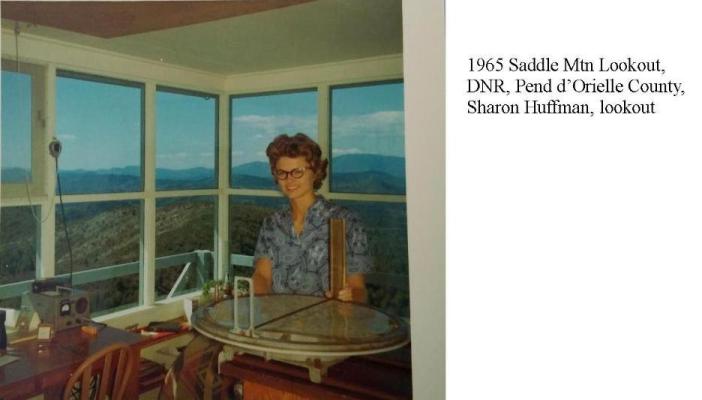
In 1962 a 40 foot wooden DNR live-in cab was built. The lookout construction work was performed by the Department's own carpentry crew at the cost of around $8,000.
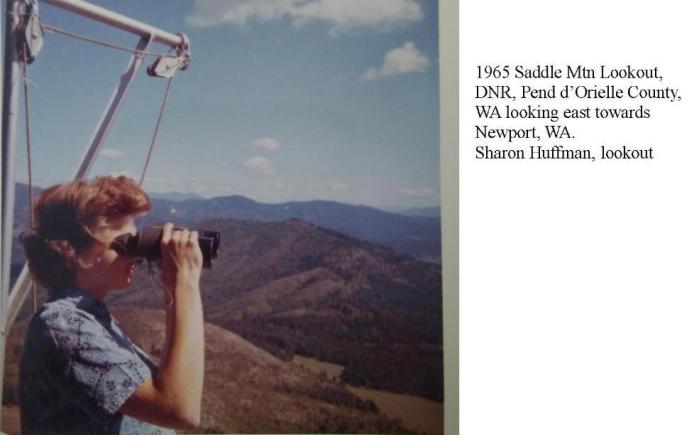
In 1965 the lookout was Sharon Borgford.
The tower was destroyed in 1986.
WillhiteWeb.com
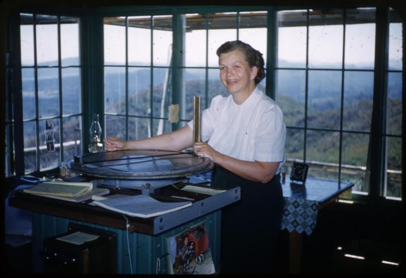
August 7, 1952
Destroyed in 1986
Lookout Elevation: 3,479 feet
Hiking Distance: 1.3 miles
Elevation Gain: 800 feet
County: Pend Oreille

Access:
Although the DNR owns the very top of Saddle Mountain, the old access road is on private property.
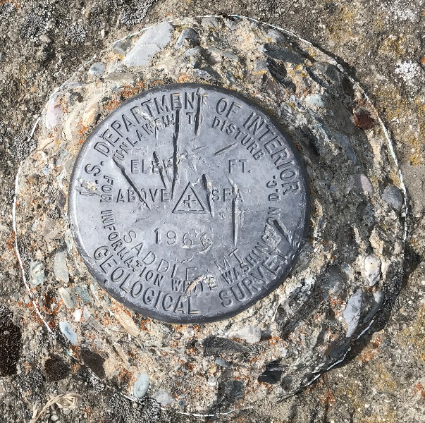

Saddle Mt enchmark
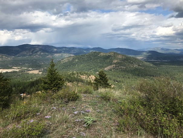
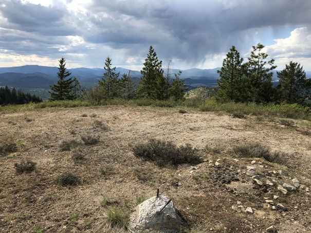
Summit area
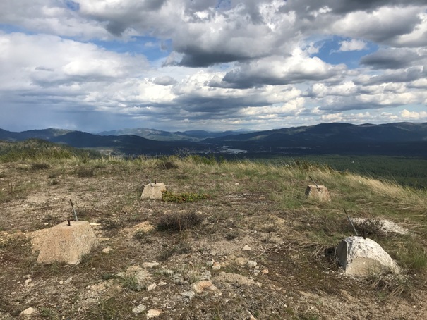
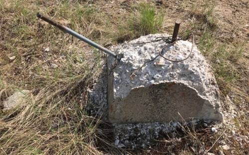
How footings disappear
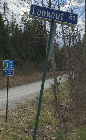
Lookout Road
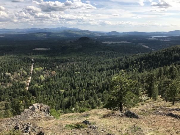
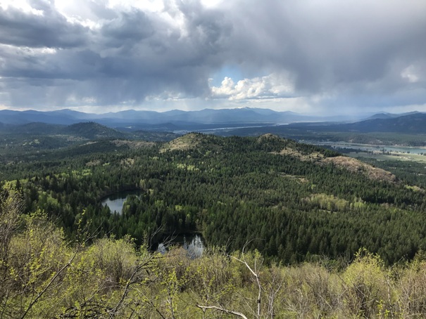
Looking East and South from the summit of Saddle Mountain
Looking East
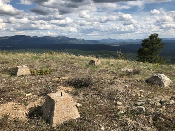
Footings
Footings
Looking north toward South Baldy Mountain
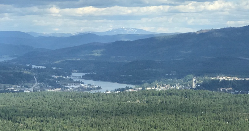
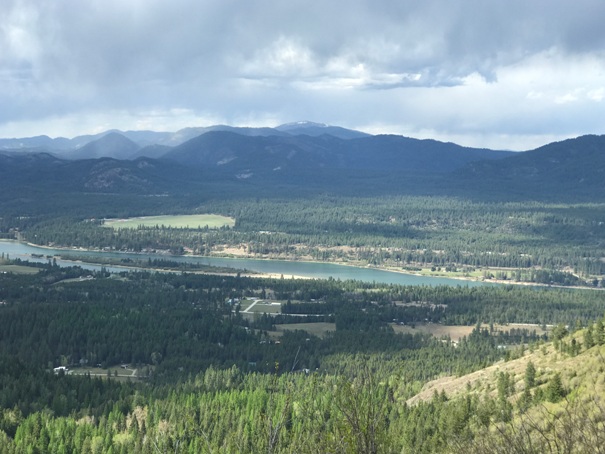
Looking north up the Pend Oreille River valley.
Zoom in to Newport


