In 1909, the Report of the Pennsylvania Department of Forestry said: A small shack is standing by the Mechanicsburg-Edie road. Near the railroad and a short distance from Laurel Summit station is an observatory built by the railroad company for pleasure purposes. This commands a wide view of the Somerset side and can be utilized as a lookout in fire season.
In 1913, a 50 foot fire tower was located here.
In 1933, a steel tower was removed.
WillhiteWeb.com
Bald Knob Lookout, Pennsylvania
Elevation: 2,920 feet
Hiking Distance: Drive up
County: Somerset
Allegheny Mountains
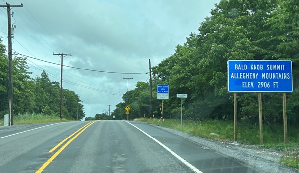
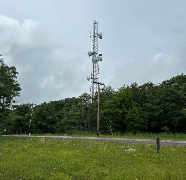
Lincoln Highway as you arrive at Bald Knob Summit
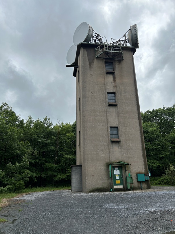
This is an interesting building across the street from the lookout site (according to the map)
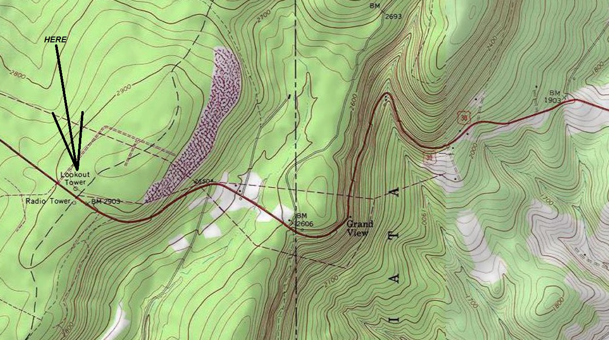
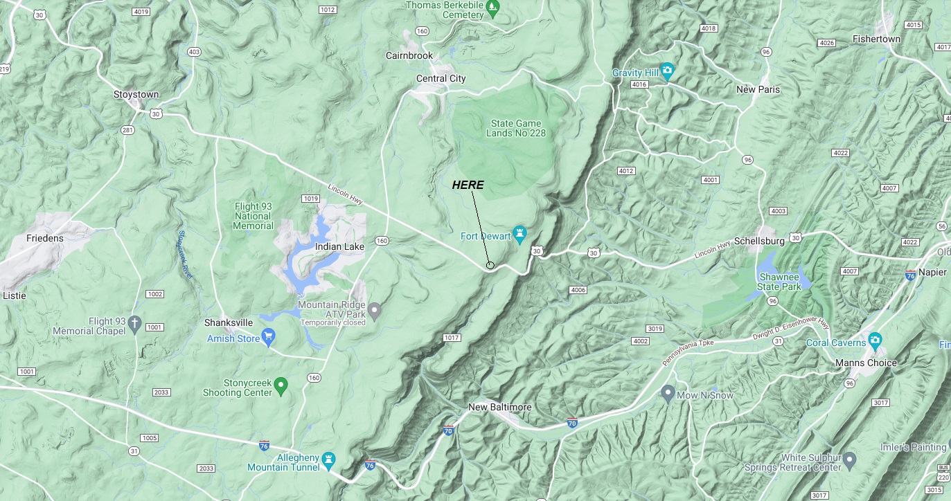
The map shows the lookout site being where this tower is located.
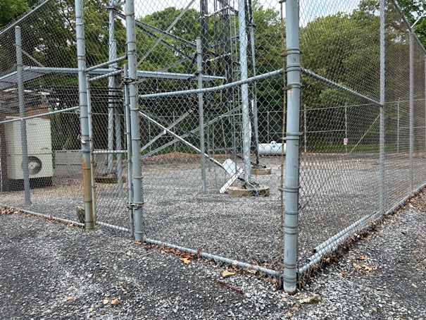
If it was here the newer communication tower removed any footings to make this site level
Lookout History
The Lincoln Highway is one of the first transcontinental highways in the United States and one of the first highways designed expressly for automobiles. Dedicated October 31, 1913, the Lincoln Highway runs coast-to-coast from Times Square in New York City west to Lincoln Park in San Francisco. Bald Knob Summit is the highest point of the highway in Pennsylvania.
Lincoln Highway
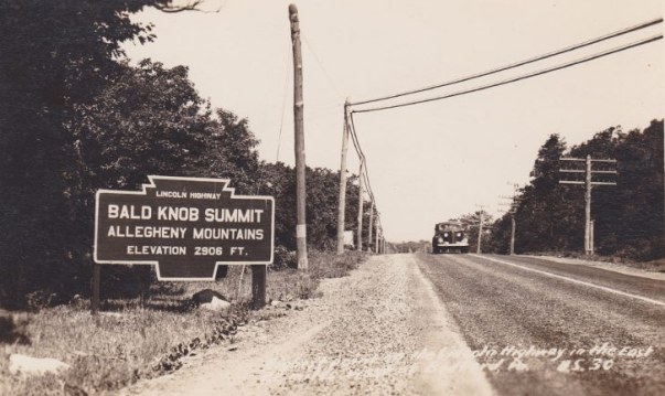
Historic Lincoln Highway image at Bald Knob Summit
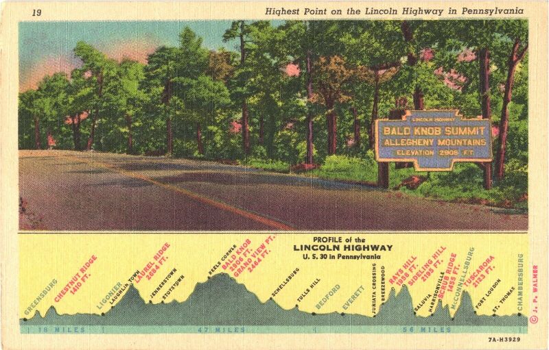
A postcard about Bald Knob Summit


