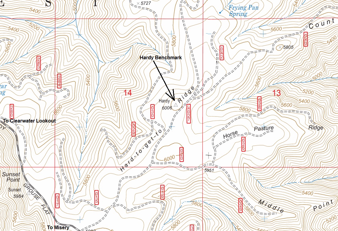
Internal Umatilla National Forest fire dispatch records reveal there was a lookout station on Hardy Ridge from 1931 to 1939. Within the records, it was not clear exactly where and what was at the lookout site. Thanks to benchmark records, those answers have been found.
The USFS placed a Station (Benchmark) at this location in 1936 stamping it with the name HARDY RIDGE 1936. Their description said it was an occupied station on Hardy Ridge…..centered under a point in tree from where observations were taken. The access description also led to the tree calling it a LOOKOUT TREE.
Then in 1963, USGS surveyors arrived and placed a new station benchmark stamping it with the name HARDY 1963. The word RIDGE was removed from the stamp name. A few reference benchmarks were also placed and one seems to remain from the original 1936 USFS visit. During this more recent 1963 visit, the description was updated, and they said the station was NOT occupied by an observing party and that a 90-foot tower was required. This hints that the original observations were taken 90 feet up in a tree that is now gone.
Lookout Elevation: Have not visited
Hiking Distance: Have not visited
Elevation Gain: Have not visited
Access: Have not visited
WillhiteWeb.com
Hardy Ridge Lookout Tree

