
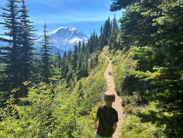
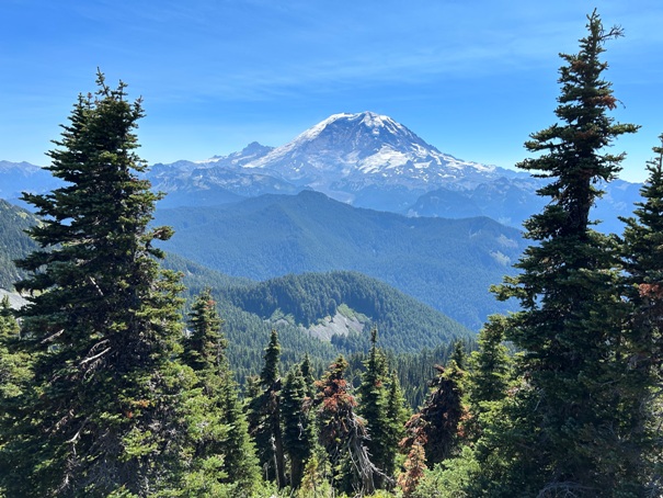
Bearhead Mountain is a great hike that is often overlooked in most of the hiking books. The summit provides excellent views over the Clearwater Wilderness and Mt. Rainier. Bearhead has two summits, one for hikers, and the other for peakbaggers. Bearhead was also once home to a lookout tower.
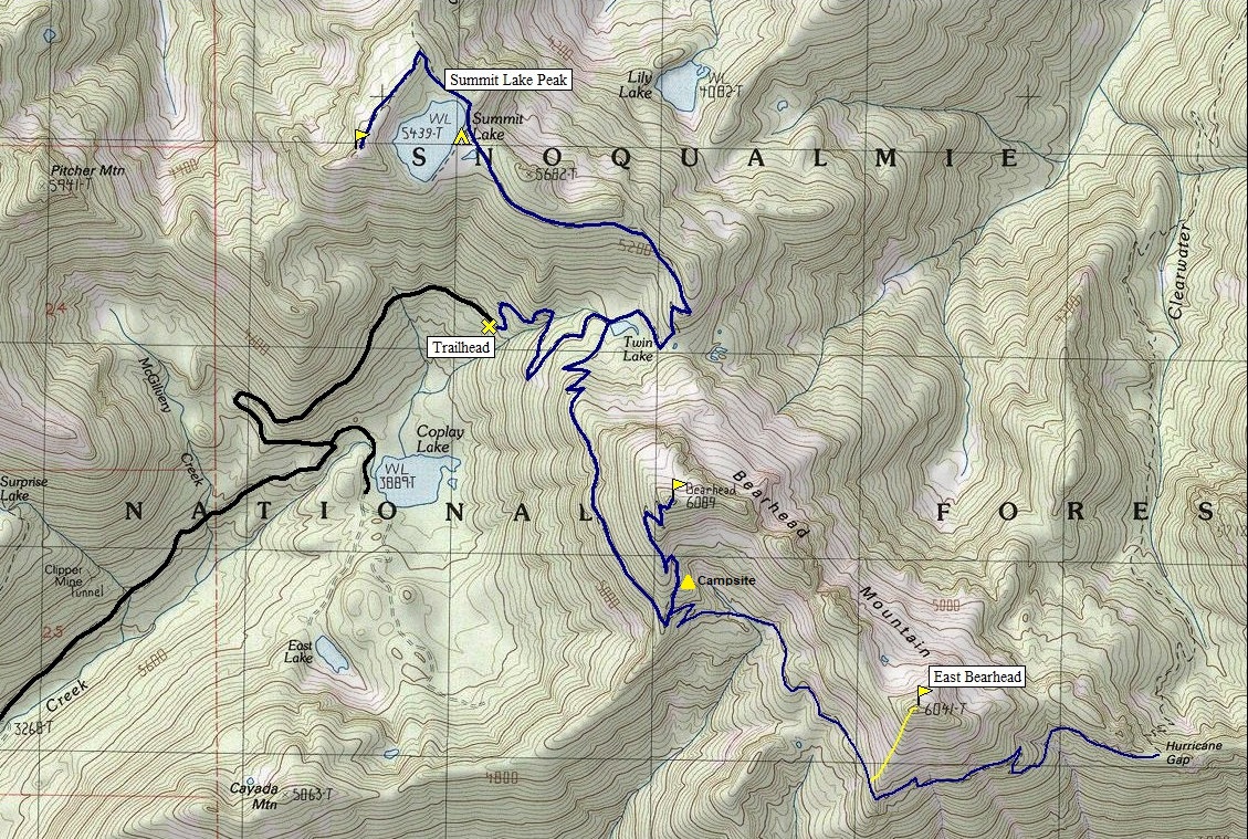
Distance: 3 miles one-way
Elevation Gain: 1,800 feet
Summit Elevation: 6,089 feet
Access: Gravel, rough when not graded
WillhiteWeb.com
Bearhead Mountain Trail
Access:
Find your way to the Carbon River entrance to Mount Rainier National Park. Just before the entrance, turn left where you see a long bridge crossing the Carbon River. Cross the bridge, turn right. Continue 6.7 miles to end of road. The trailhead is at end of road #7810 with 20 parking spaces. The Cayada Creek Road can be rough if it has not been graded but many take the chance in their regular cars to the trailhead. Northwest Forest Pass is not needed.
Route:
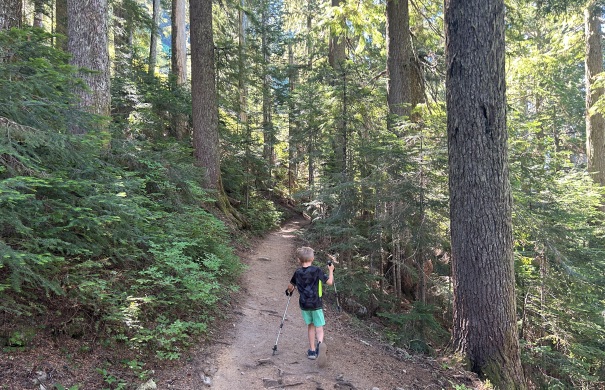
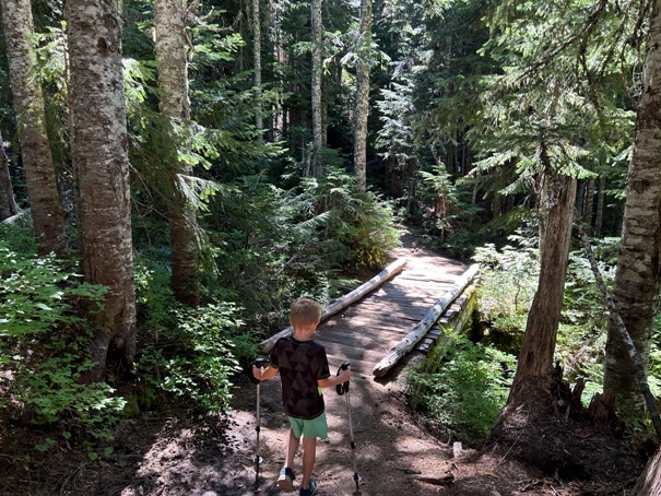
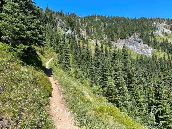
The Summit Lake Trail starts in a young stand of trees but quickly turns into old growth timber. After 0.7 miles the trail enters the Clearwater Wilderness. At mile point 1.0 is the junction with Carbon Trail #1179 at Twin Lakes. Turn right, as the trail climbs around the west side of the mountain. At a final junction, the summit trail heads left up to the very summit.
East Bearhead Route:
Continue from the trail that goes up to Bearhead as it traverses west. This part of the trail may be overgrown and slumping down the hill since it gets little use. Follow it until just below the summit and then scramble up.
From Carbon Ridge/Old Nameless
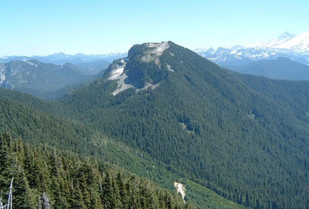
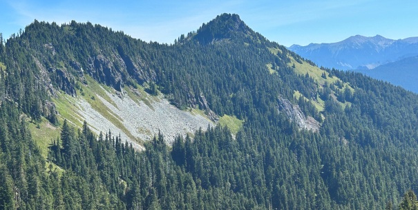
Bearhead Mountain
East Bearhead Mountain
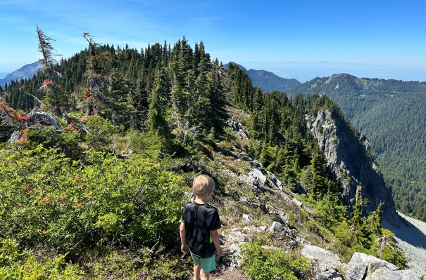
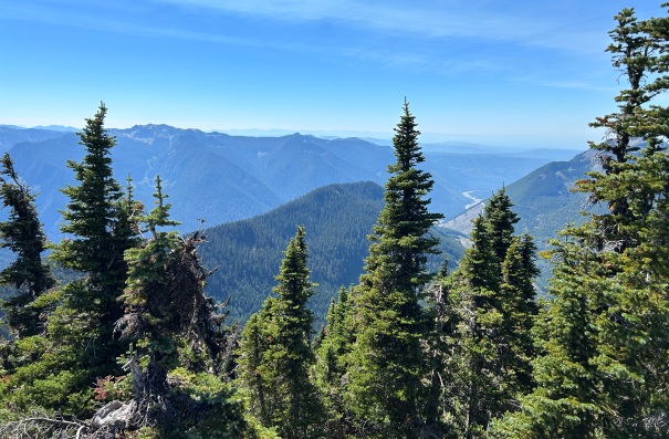

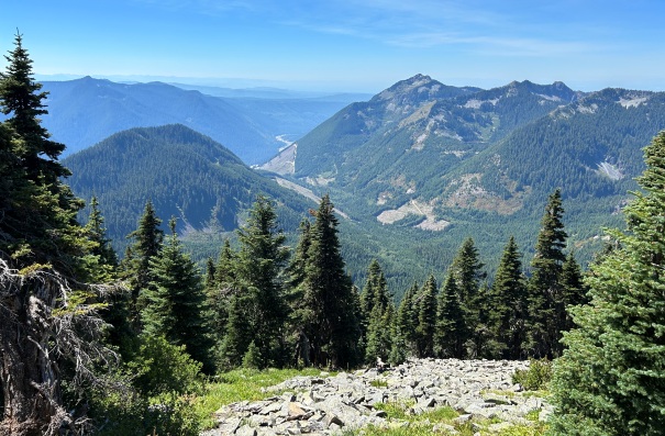
Old Baldy Mountain and Cayada Creek Valley going to the Carbon River.
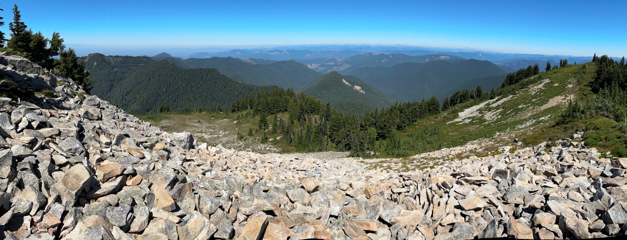
West from the summit
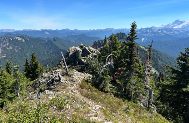
Exploring the ridge, looking back to the summit area.
Eastern point on the summit ridge
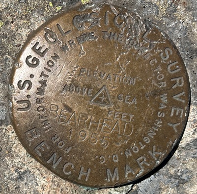
Bearhead Mountain Benchmark
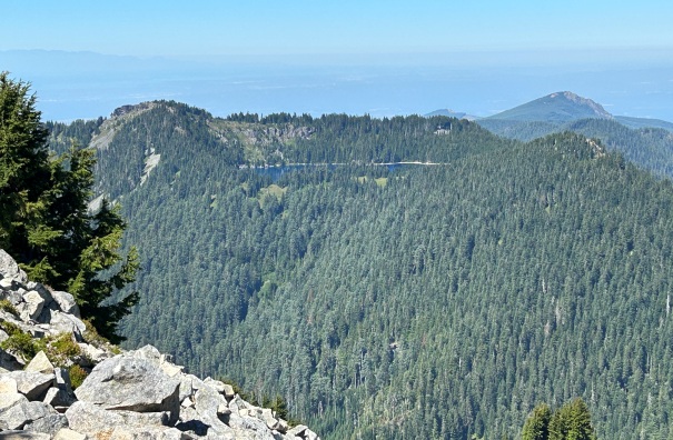
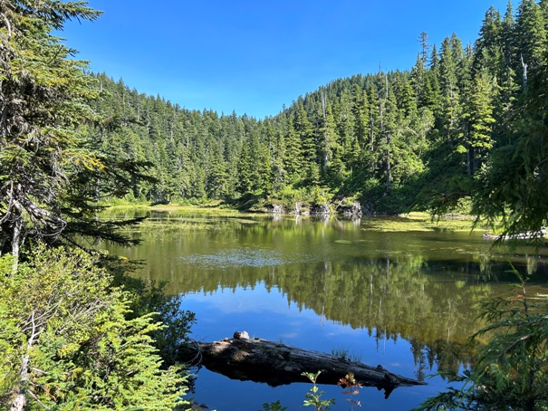
Summit Lake
East Bearhead Mountain
Twin Lakes
Bearhead Mountain from Summit Lake Peak
Looking North
Looking Northeast from a bit East of the summit.


