It is not the most spectacular summit in the area but Flagstaff Mountain on Reed and Benson Ridge is a fairly safe climb and the views of nearby peaks are amazing. I would rate this as an advanced snowshoe hike although I actually used my crampons for 100 feet as the compact snow was frozen like ice.
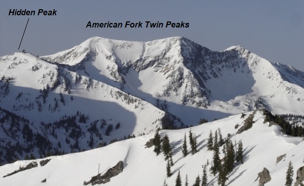
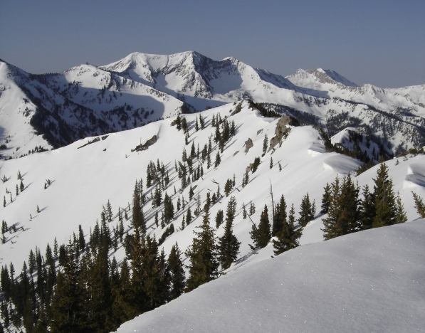
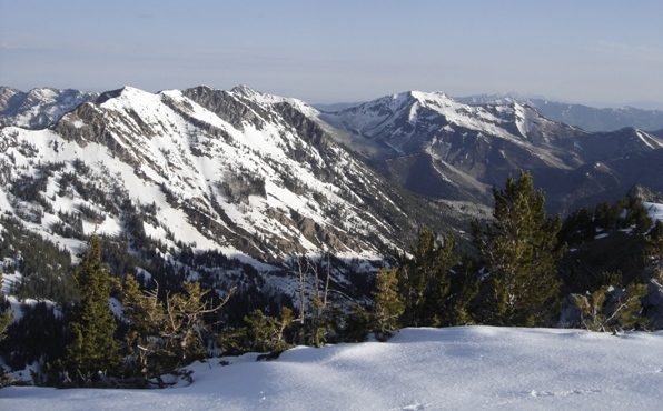
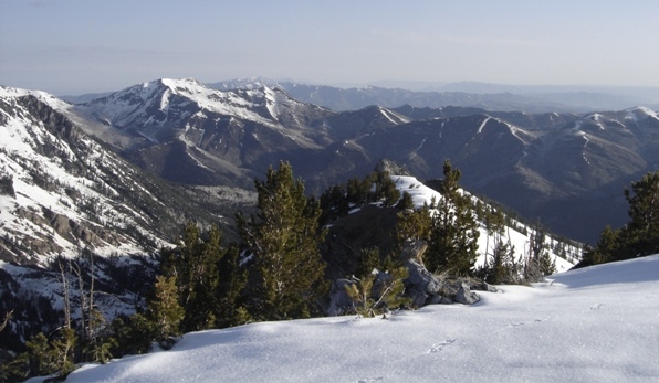
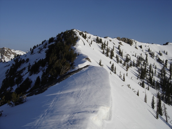
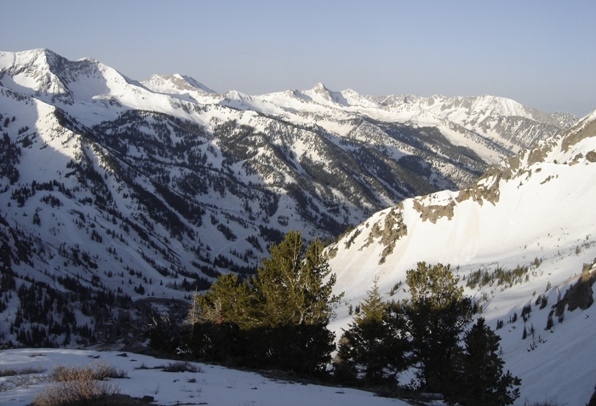
From the Alta ski area, during a winter or spring ascent, head north picking a line that looks safe given the snow conditions. I chose the rib coming south off Flagstaff Mountains southeast ridgeline. In summer, it seems trails go quite high up Flagstaff and you could try almost any route without difficulty. Once on the ridges, climb to the summit of Flagstaff Mountain. With very little prominence, this named peak does not make it onto the official Utah peak lists. Continue north on the ridge until you reach the highest point of Reed and Benson Ridge, the most southern point. Views are great, look at the pictures.
Distance: 1.5 miles
Elevation Gain: 1,800 feet
Summit Elevation: 10,561 feet
Access: Paved
Flagstaff Mountain
WillhiteWeb.com
Access:
Route:
Drive up Little Cottonwood Canyon to the Alta ski area. Park off the road and start up.
Note: These pictures are from late May of 2008, a record year for snow pack. Hard to believe most of the ski areas in Utah were closed for the season at this point!
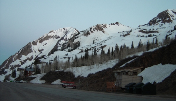
Mt. Superior from the Alta parking area at 5:30 a.m.
Route I took went up the center rib to ridgetop.
Hiking ridgeline to Flagstaff Mountain.
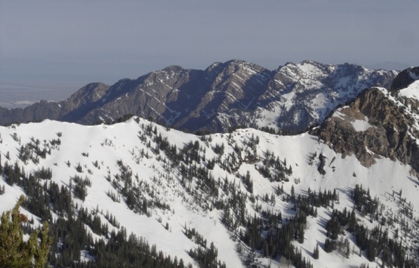
Mt. Olympus area.
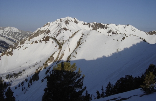
Sun just hitting the highest peaks to the south.
Looking Southwest from the summit.
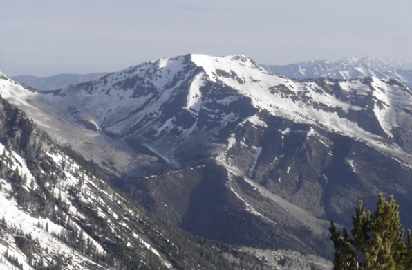
Reed and Benson Ridge.
(Reed and Benson Ridge)
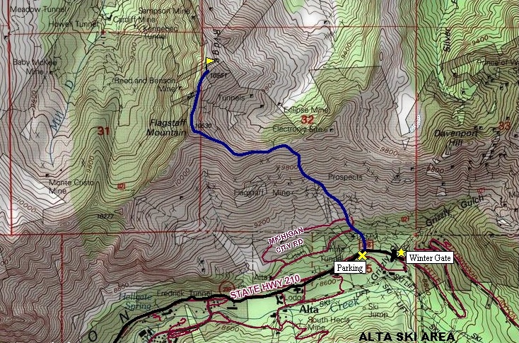

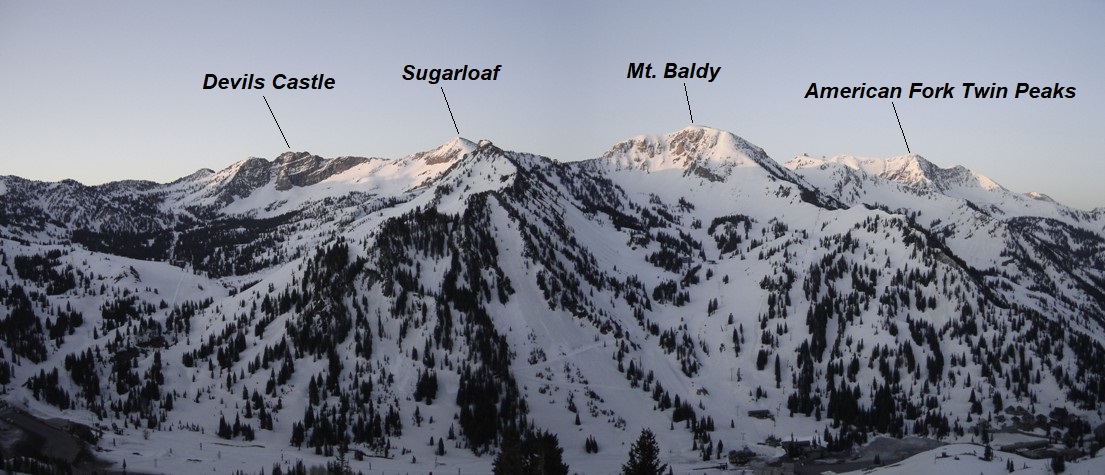
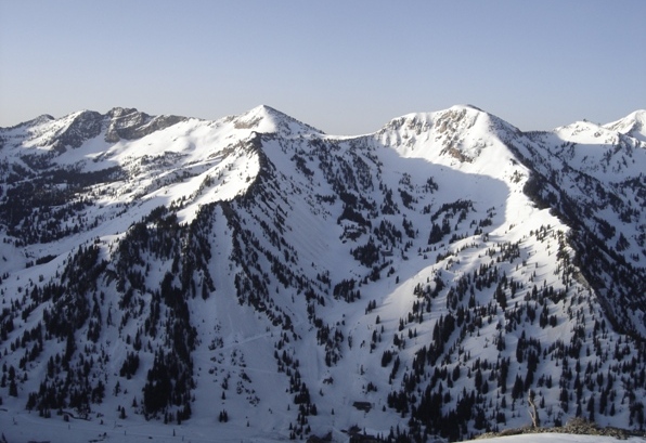
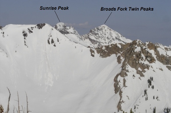
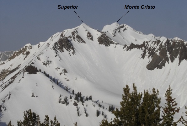
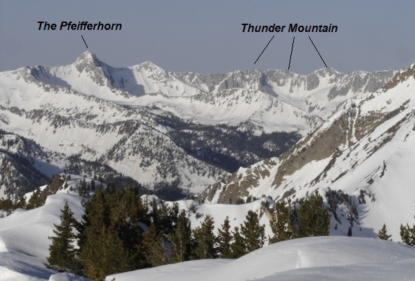
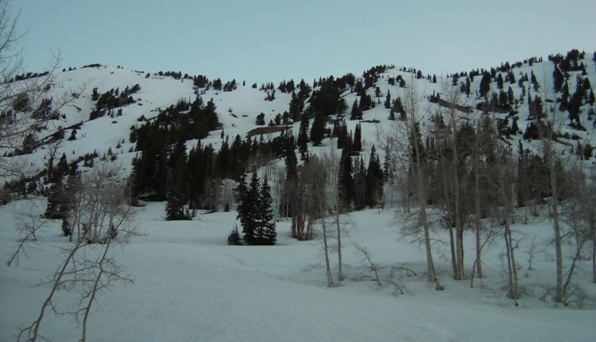
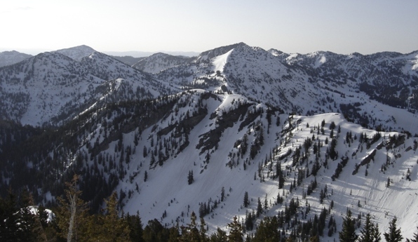
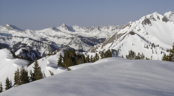
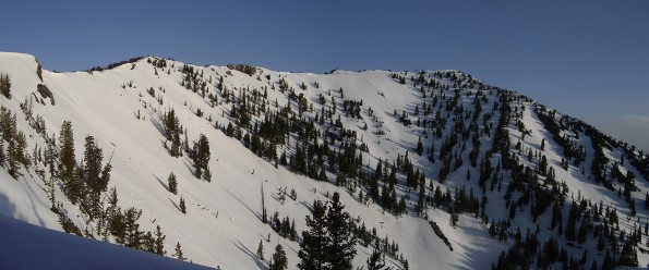
Route used to access Flagstaff Mountain and Reed and Benson Ridge.
Gobblers Knob
Ridge running west.
West


